Sometimes Rebuilding Was Not Enough.
Faced with floods, volcanoes, unstable mines, reservoirs, and other threats, entire communities chose or were forced to leave familiar streets behind and begin again somewhere safer. Their stories show that moving a town involves far more than transporting buildings because identity, livelihoods, memory, and political power must move with it.
Niobrara Was Flooded Into Action
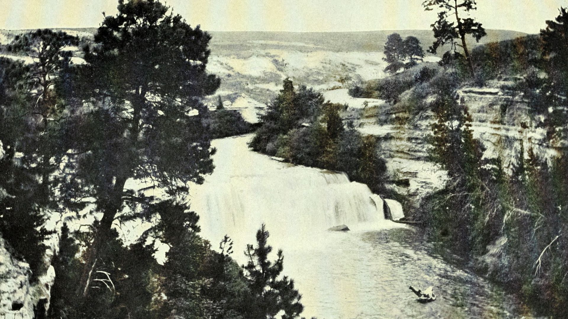
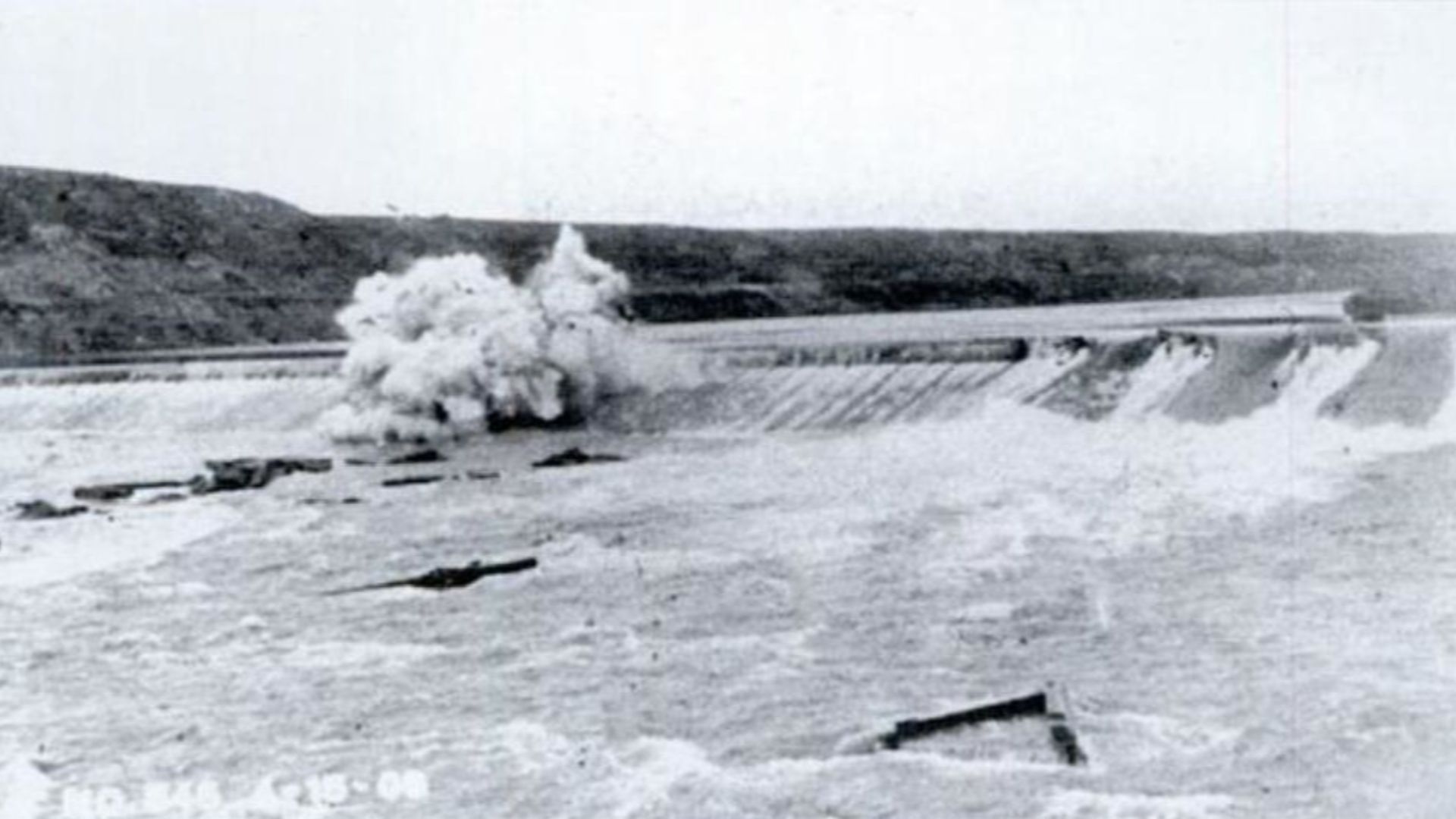
Niobrara, Nebraska, began near the Missouri River because steamboat access promised trade and growth. That location became disastrous in 1881, when ice jams and repeated flooding left the town under several feet of water. Rather than keep rebuilding on the same vulnerable ground, residents decided to move the community approximately a mile and a half uphill. The decision began one of America’s strangest municipal journeys.
 United States Geological Survey, Wikimedia Commons
The Town Moved Building By Building
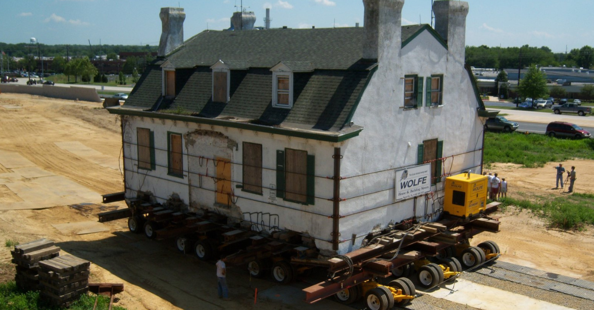
Workers raised Niobrara’s structures with jacks, then pulled them using winches, block and tackle, horses, mules, and oxen. Nearly a century later, rising groundwater associated with Missouri River dams threatened the relocated town again. Niobrara moved a second time during the 1970s, proving that even higher ground did not guarantee permanent safety. Few communities can claim to have physically relocated twice and remained recognizably themselves.
 Unknown authorUnknown author, Wikimedia Commons
Hibbing Was Standing On Valuable Iron
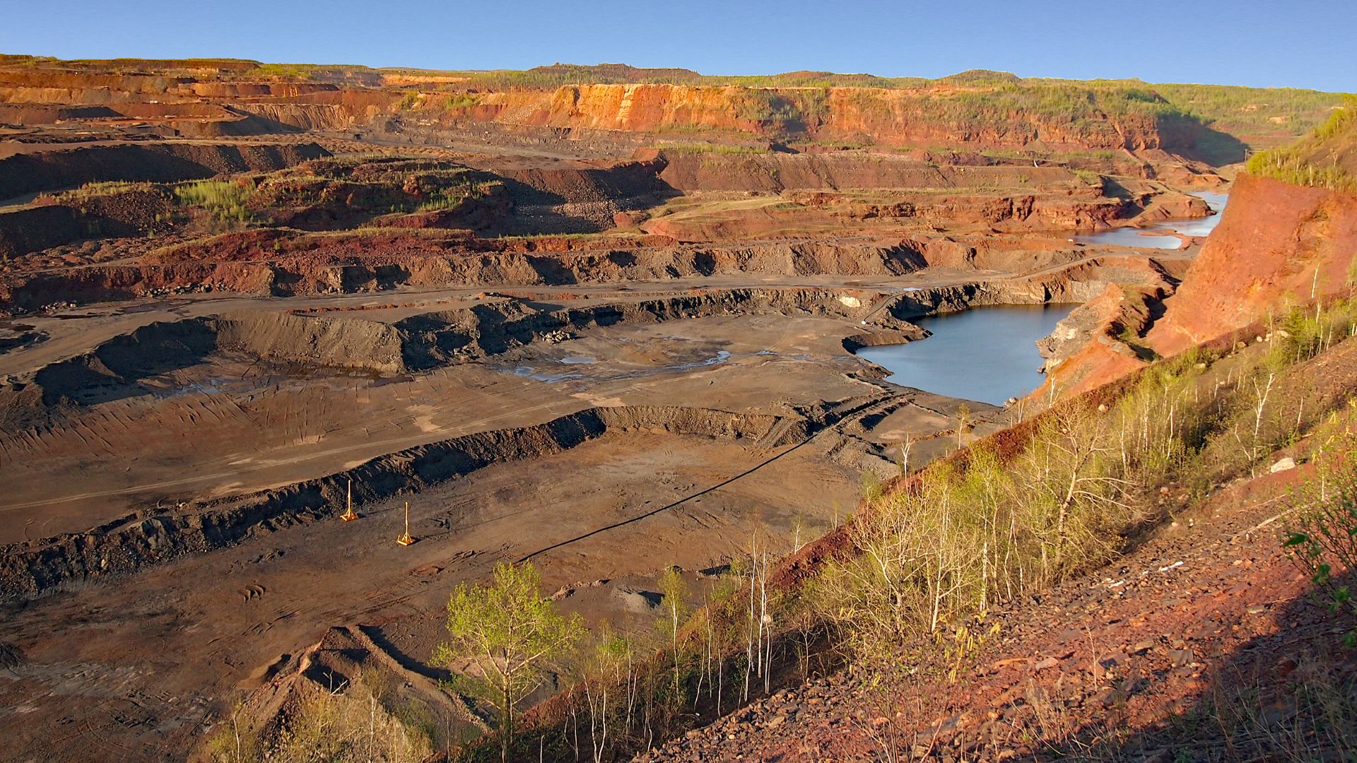
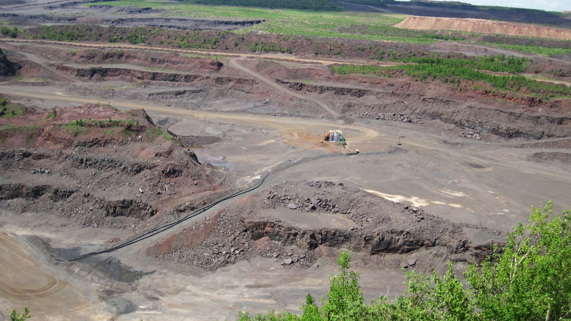
Hibbing, Minnesota, grew rapidly around the rich iron deposits of the Mesabi Range. The problem was that some of the most valuable ore extended directly beneath North Hibbing’s streets, homes, and businesses. The Oliver Iron Mining Company wanted access to the deposit, leaving the community with a choice between relocation and economic decline. Between 1919 and 1921, the town began moving approximately two miles south.
Nearly Two Hundred Buildings Hit The Road
Crews transported almost 200 structures using logs, horses, tractors, steel cables, and a powerful steam crawler. Some residents moved their existing homes, while the mining company helped finance new civic and commercial buildings at the replacement site. The operation was not seamless, and at least one large hotel collapsed during the journey. Hibbing nevertheless survived the upheaval and proudly became known as “The Town That Moved.”
 James St. John, Wikimedia Commons
Valmeyer Disappeared Beneath The Flood
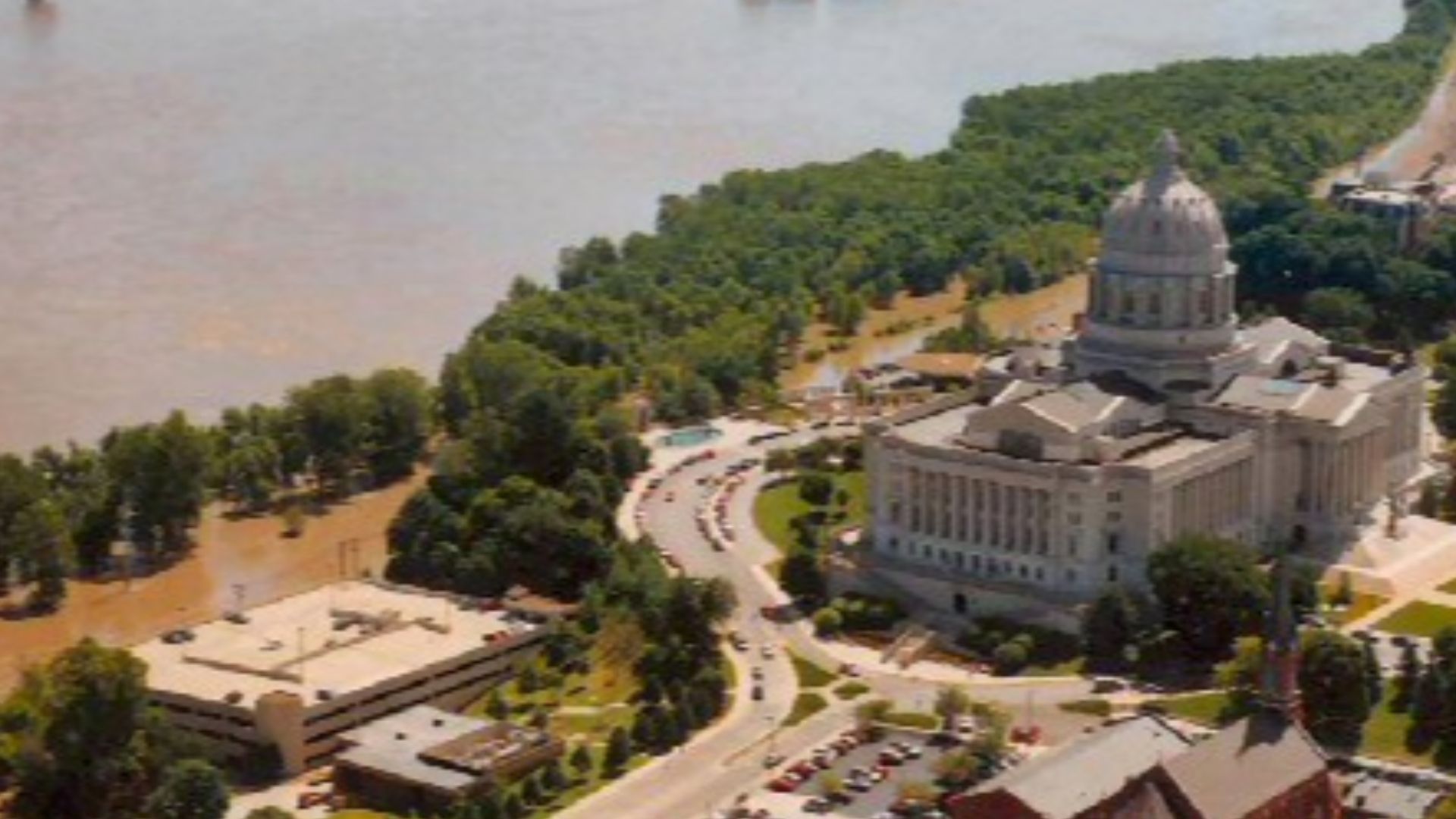
The Great Flood of 1993 overwhelmed the levee protecting Valmeyer, Illinois, and submerged the farming community for weeks. Many one-story buildings were inundated to their roofs, leaving hundreds of residents without livable homes. Rebuilding in the same Mississippi River floodplain would have exposed the village to another catastrophe. Residents instead voted to recreate Valmeyer on much higher land nearby.
 Uncredited USACOE photographer., Wikimedia Commons
New Valmeyer Climbed The Bluff
Construction began on a new site east of the original village and more than 400 feet higher in elevation. Streets, utilities, houses, businesses, and public facilities had to be created nearly from scratch while residents navigated federal aid and personal losses. Work continued through the mid-1990s, and the relocated village eventually grew beyond its pre-flood population. Valmeyer became a frequently cited example of community-scale retreat from an extreme flood risk.
Soldiers Grove Rejected Another Flood Wall
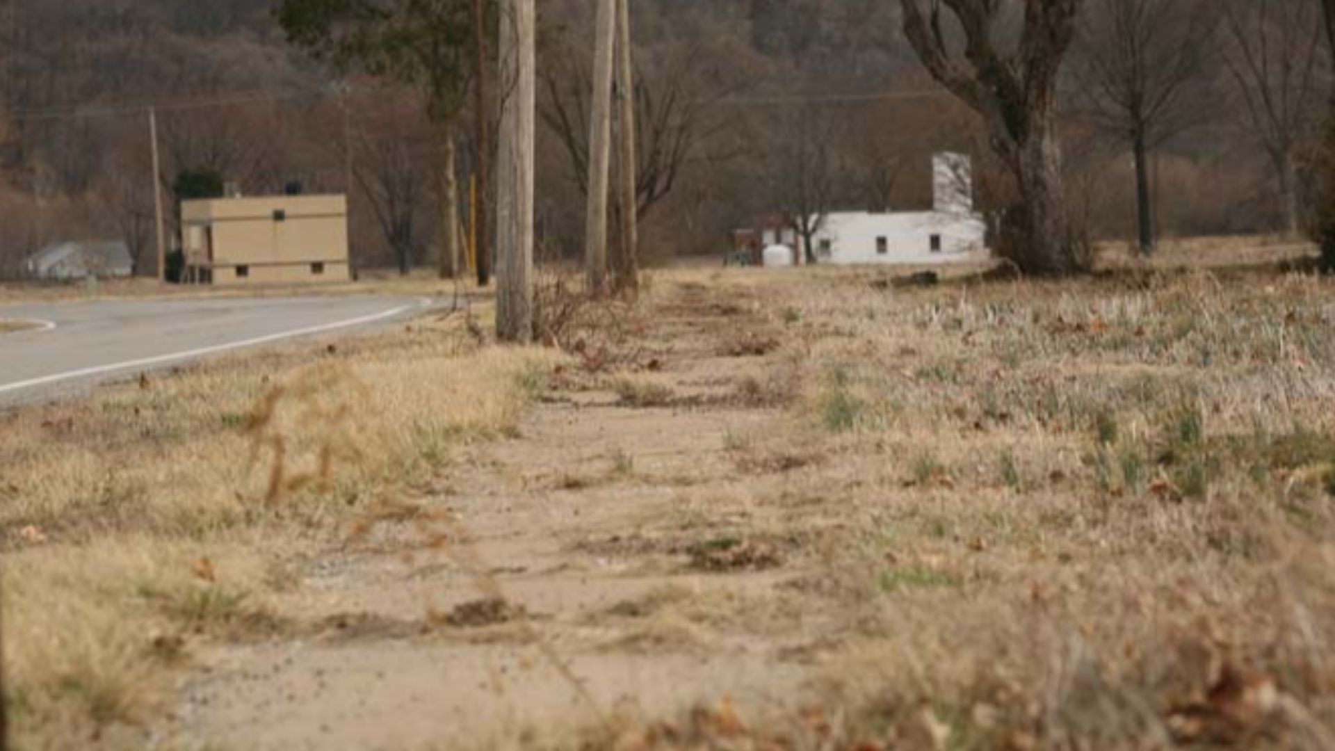
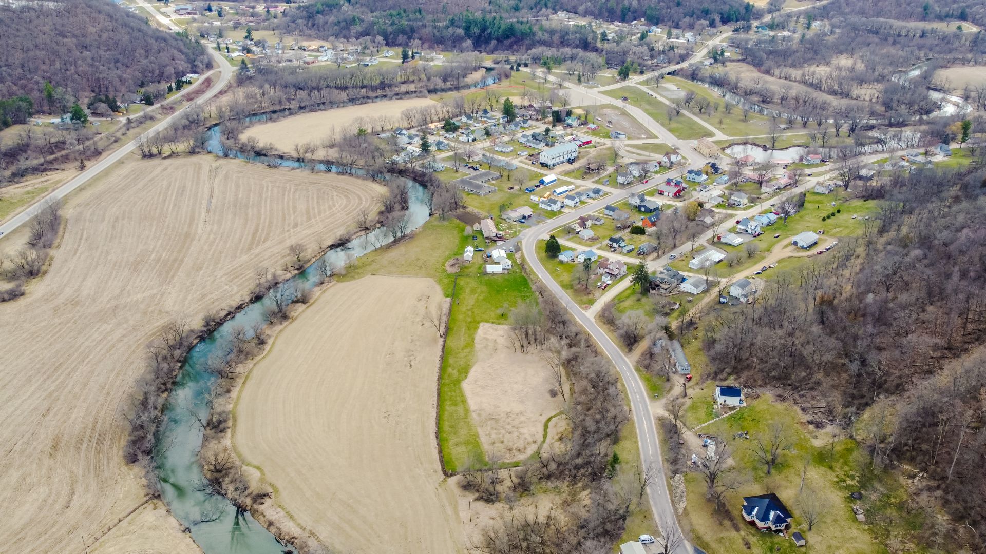
Soldiers Grove, Wisconsin, suffered repeated flooding from the Kickapoo River throughout the 20th century. Federal planners considered traditional flood-control measures, but protecting the low-lying business district with a levee was expensive and did not solve every concern. Village leaders proposed moving the commercial center to higher ground instead. Their plan initially faced resistance because federal programs were better prepared to build defenses than relocate downtowns.
A Solar Village Rose On Higher Ground
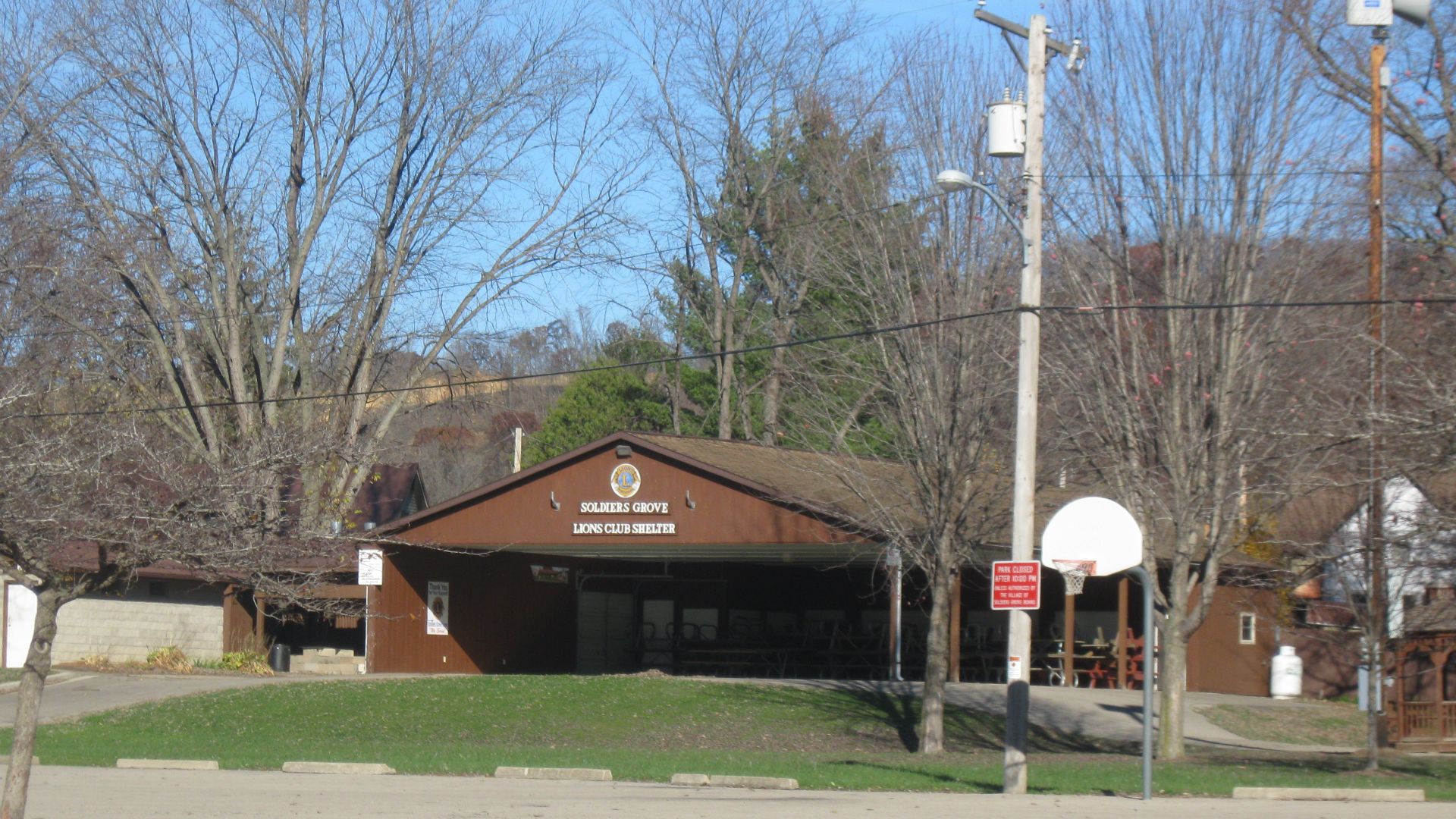
After another serious flood in 1978, federal funding helped Soldiers Grove move its downtown out of the floodplain. The replacement district incorporated passive solar design, energy standards, accessibility requirements, and community planning ideas that were unusually ambitious for a small village. A riverside park replaced much of the former commercial area. Later floods demonstrated the value of the move by inundating the old site while largely sparing the relocated center.
 TheCatalyst31, Wikimedia Commons

History's most fascinating stories and darkest secrets, delivered to your inbox daily.
Hill Learned A Reservoir Was Coming
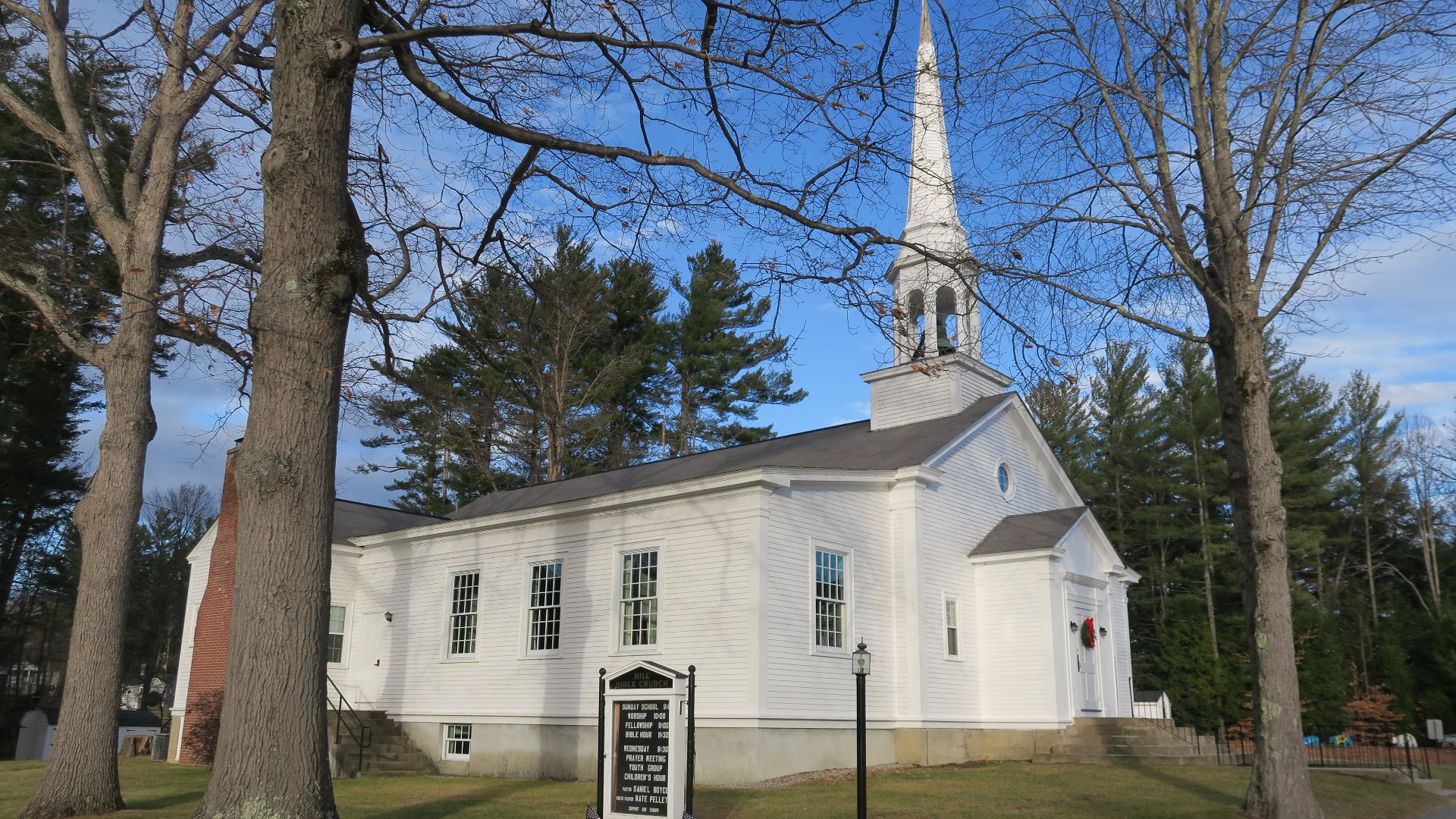
Residents of Hill, New Hampshire, discovered in the late 1930s that their original village stood in the planned reservoir area for the Franklin Falls flood-control project. The community had already endured damaging floods, and federal engineers wanted land that could safely store future floodwater. Instead of allowing the town to be completely dispersed, residents purchased property above the reservoir boundary. They began designing a new village before the old center disappeared.
 John Phelan, Wikimedia Commons
New Hill Preserved The Community Name
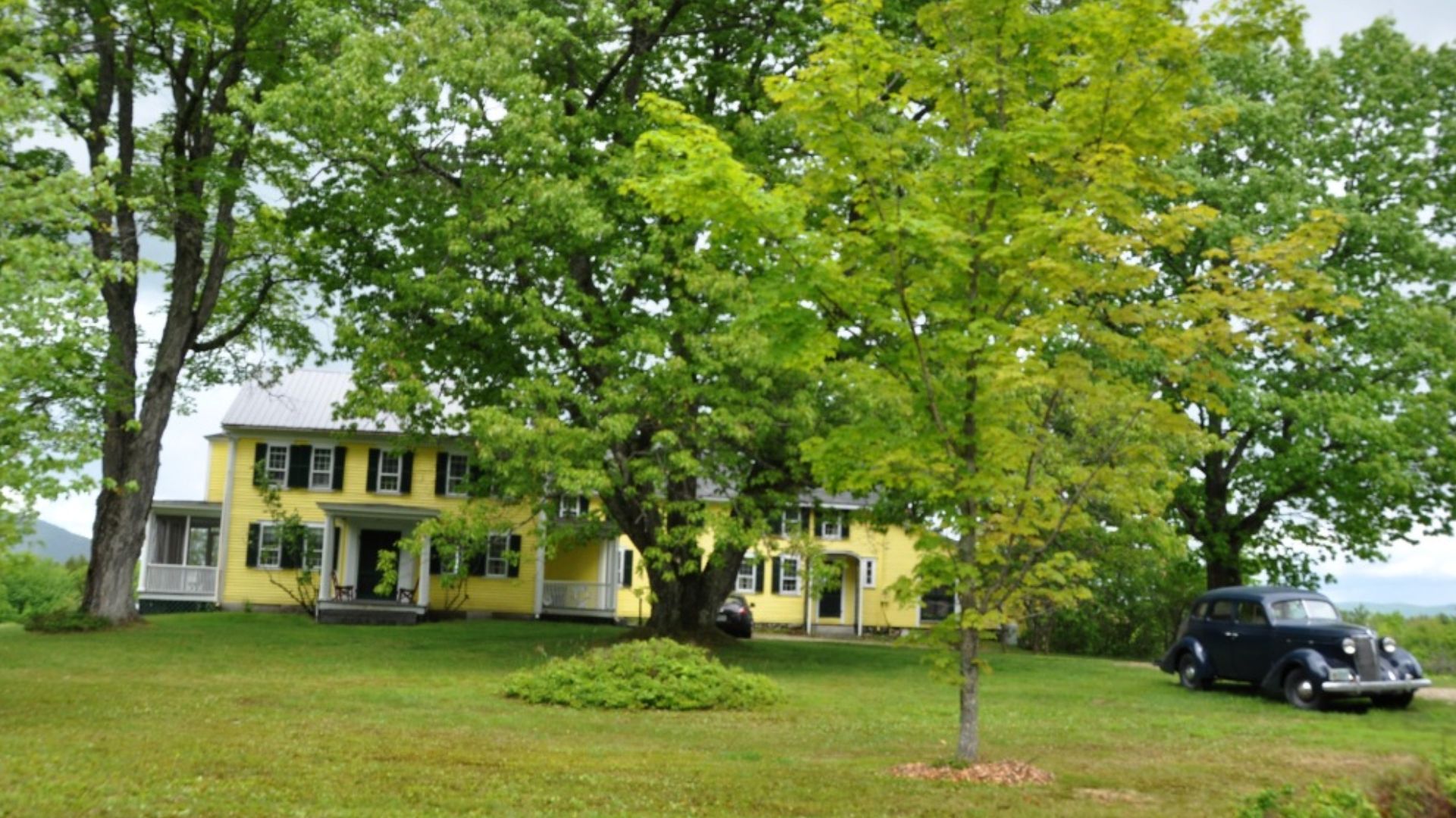
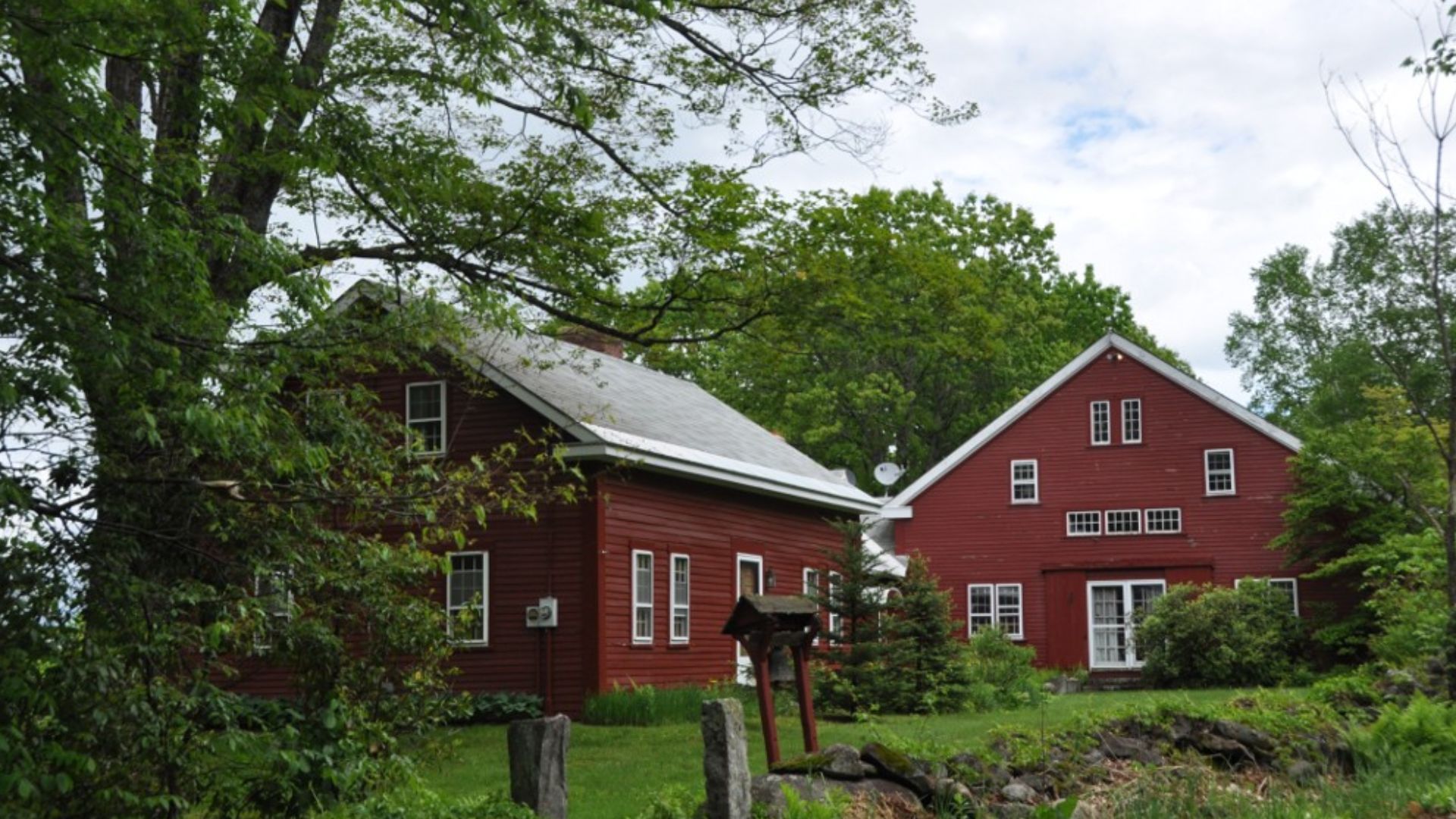
Buildings, belongings, and civic functions were transferred to the new site as the original village was cleared. The relocation changed the town’s physical appearance and reduced its population, but it allowed Hill to retain a functioning community government. Foundations and remnants of the old settlement can still appear in the flood-control area. Hill survived because residents moved together rather than accepting that the reservoir would erase the town completely.
 User:Magicpiano, Wikimedia Commons
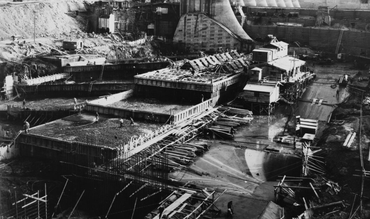
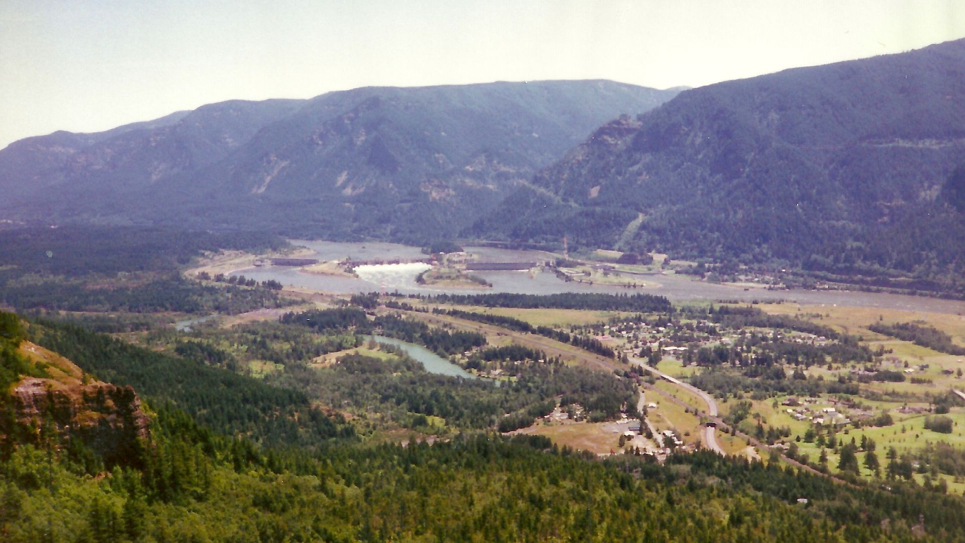
North Bonneville Faced A Second Powerhouse
North Bonneville, Washington, developed beside the Bonneville Dam during the New Deal construction boom. Decades later, federal plans for a second powerhouse required the land on which much of the town stood. Residents feared that a standard property buyout would scatter neighbors and destroy the municipality. They organized to demand relocation as a complete community rather than simple compensation for individual losses.
 Unknown Author, Wikimedia Commons, Modified
A Planned Town Replaced The Old One
The United States Army Corps of Engineers eventually helped construct a replacement North Bonneville on safer land. The project included streets, utilities, parks, municipal buildings, flood protection, and space for residents and businesses to rebuild. The new town was completed during the 1970s as excavation consumed the old site. Its history demonstrates how determined local organizing could turn forced displacement into a negotiated municipal relocation.
 Kingofthedead, Wikimedia Commons
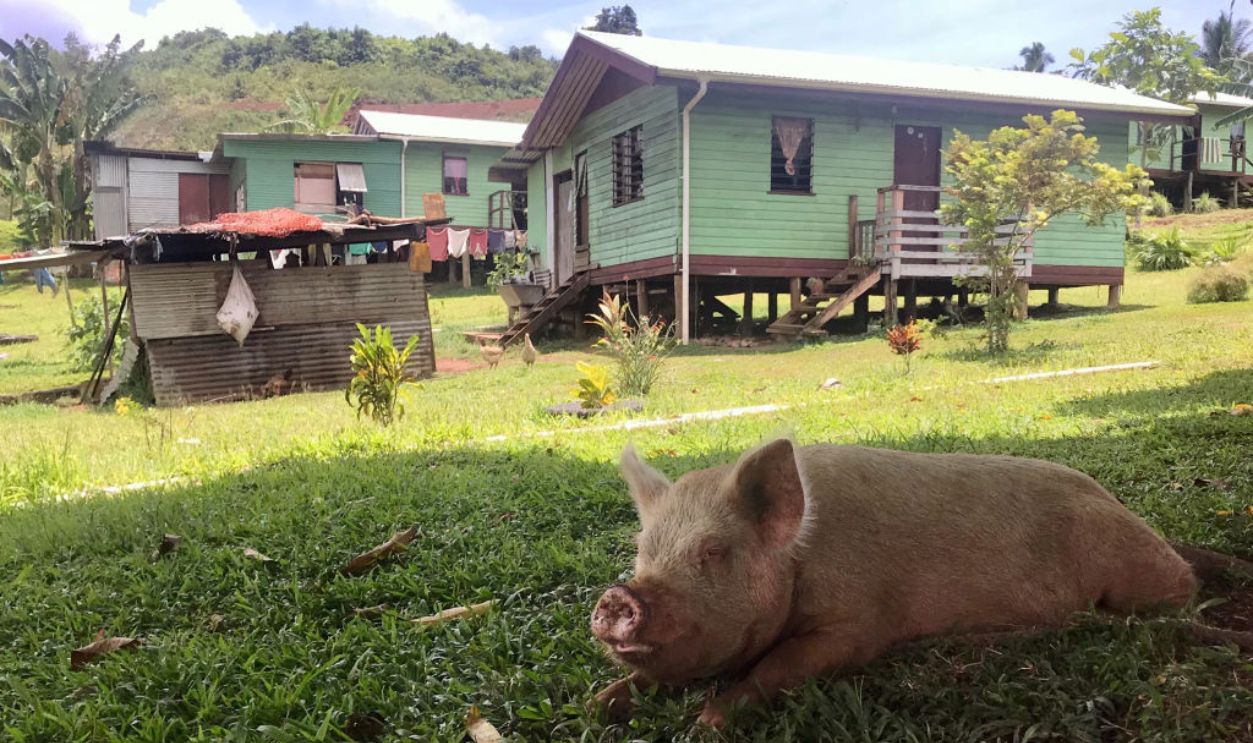
Vunidogoloa Watched The Ocean Advance
Vunidogoloa, a coastal village in Fiji, faced worsening erosion, flooding, saltwater intrusion, and damage from high tides. Residents began discussing relocation years before the move because repairing homes and building small defenses could not remove the underlying threat. The village’s connection to ancestral land made the decision deeply painful. In 2014, the community moved approximately two kilometers inland to higher ground.
 picture alliance, Getty Images
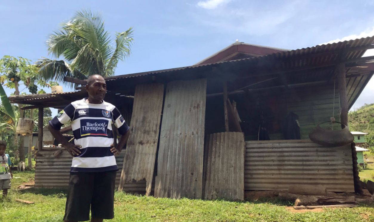
Fiji Created A Climate Relocation Model
The new Vunidogoloa included about 30 homes, improved road access, and land where residents could develop farming and livestock. Relocation ended the constant need to evacuate during severe tides, but it also forced fishing families to adjust their livelihoods and routines. Researchers have found both practical gains and lasting cultural and emotional costs. The experience helped shape Fiji’s formal national guidelines for relocating other climate-threatened communities.
 picture alliance, Getty Images
Adaminaby Stood In A Future Lake
Australia’s Snowy Mountains Scheme required a large reservoir where the original town of Adaminaby stood. During the 1950s, residents were told that their community would have to move before Lake Eucumbene filled the valley. Government planners selected a replacement site about seven kilometers away. The move combined transported buildings with new construction, while some portions of Old Adaminaby remained near the reservoir’s edge.
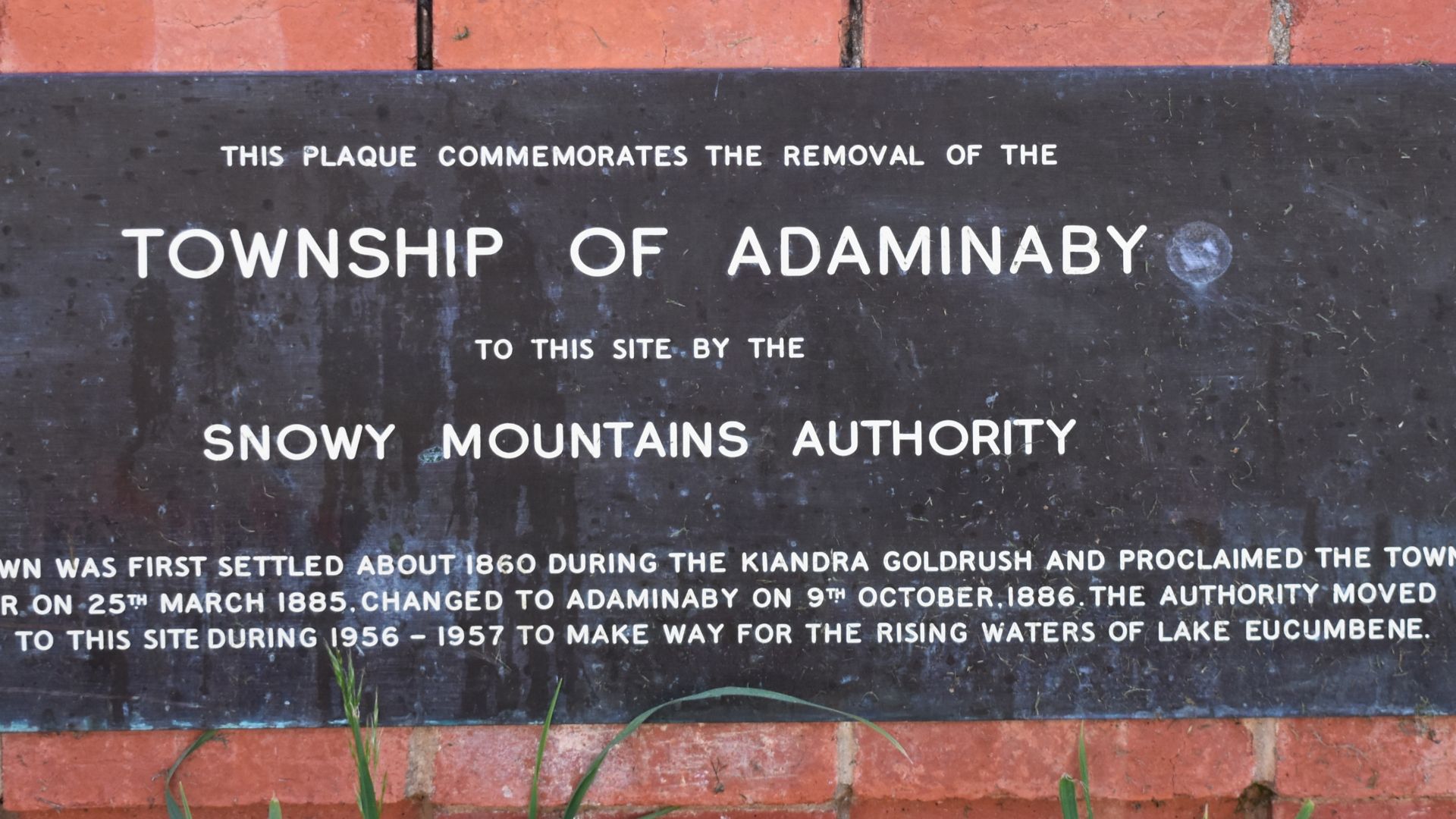 Mattinbgn (talk · contribs), Wikimedia Commons
Familiar Streets Were Recreated Elsewhere
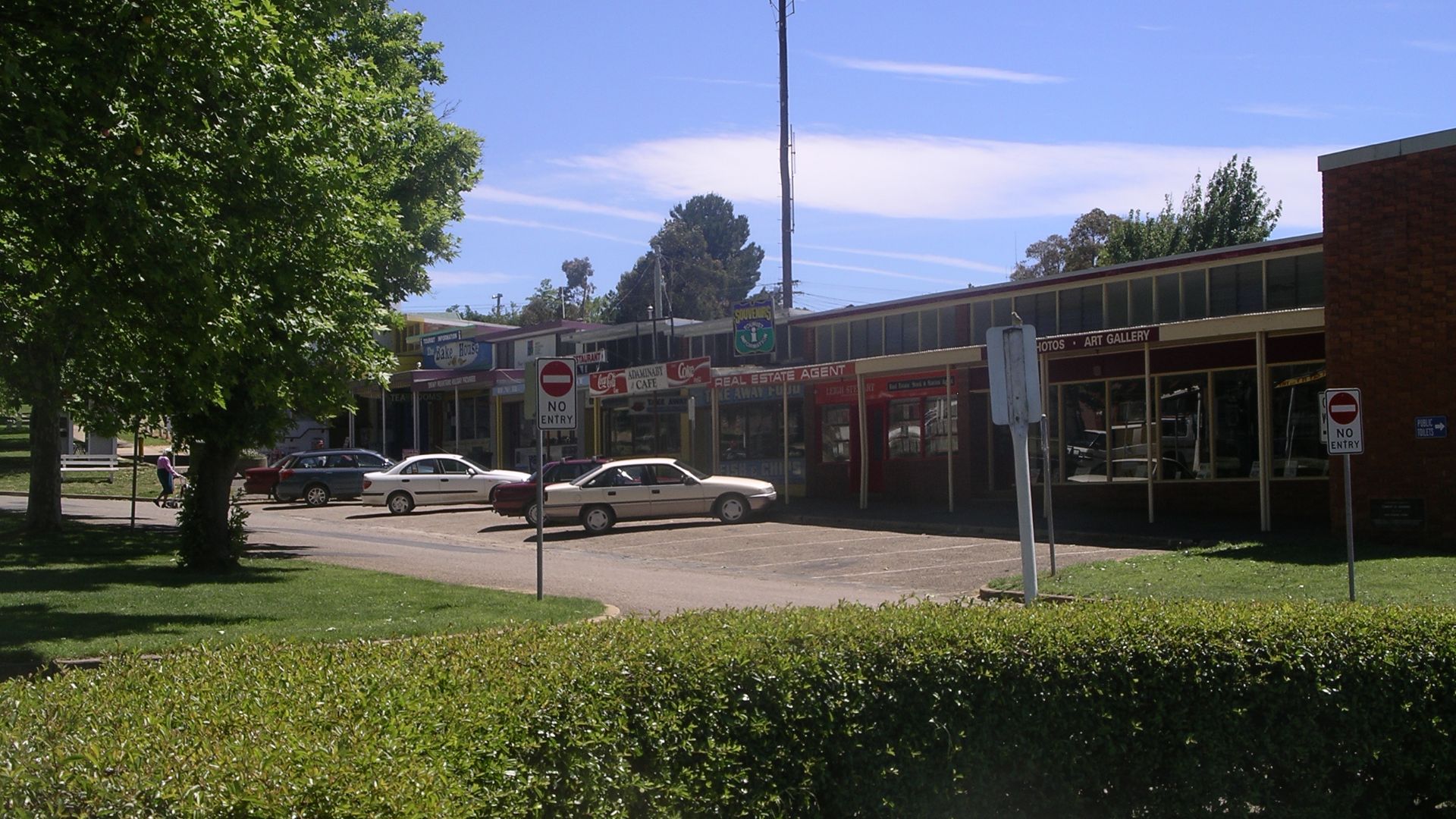
The new Adaminaby used a planned grid and retained many street names from the old town in an effort to preserve continuity. Homes, businesses, and community institutions were transferred or rebuilt while residents dealt with the loss of farms and places tied to family history. The replacement town survived, but memories of the original settlement remain emotionally powerful. Low water levels can still reveal traces of the landscape sacrificed to the hydroelectric project.
Tallangatta Became The Town That Moved
Tallangatta, Victoria, faced inundation when authorities expanded Lake Hume during the 1950s. The established service town could not remain where it was, so officials selected a new site roughly eight kilometers away. Houses, shops, churches, and other timber buildings were transported to the replacement settlement. Residents watched their old town gradually empty as the new one took shape.
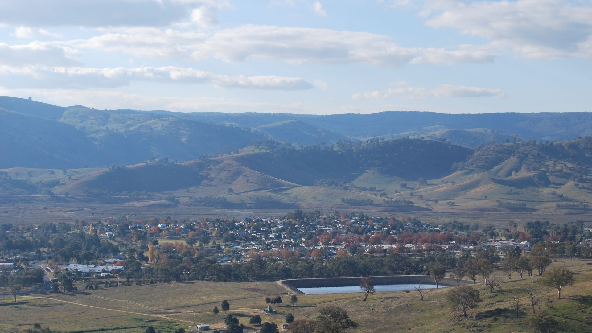
The Old Town Still Reappears
New Tallangatta preserved the community’s name and many of its social connections, but the experience divided opinion among residents. Some regarded the planned town as cleaner and more modern, while others mourned the familiar streets and buildings left behind. When reservoir levels drop, remnants of Old Tallangatta can become visible again. The recurring ghost landscape keeps the relocation present in the town’s identity decades later.
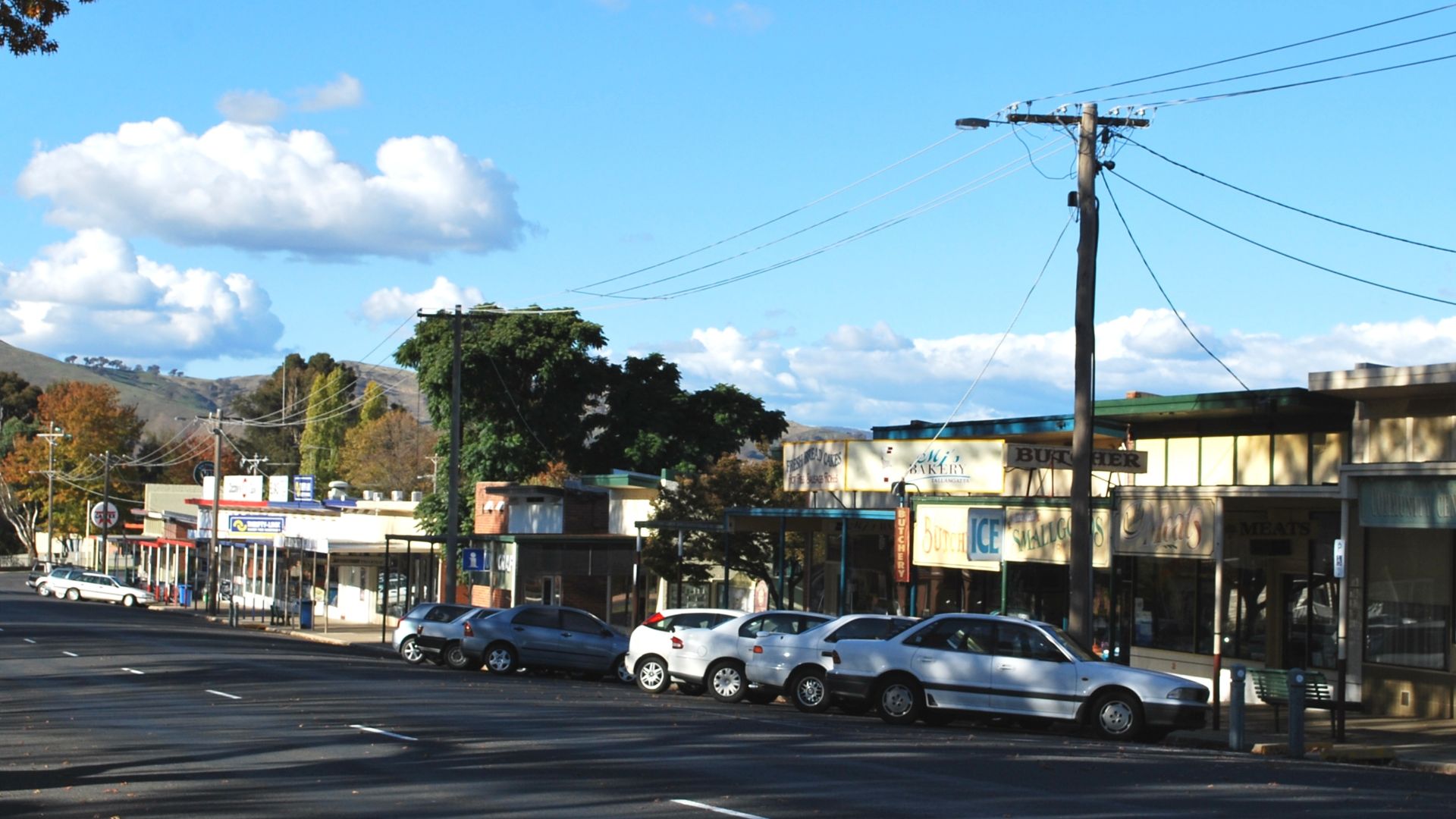
Tehri Was Condemned By A Dam
Old Tehri occupied the meeting point of the Bhagirathi and Bhilangana rivers in northern India. Construction of the massive Tehri Dam meant that the historic town and surrounding settlements would eventually be submerged. The relocation affected thousands of families and generated prolonged opposition over safety, compensation, culture, and livelihoods. A new town was developed at a higher elevation to receive displaced residents and government functions.
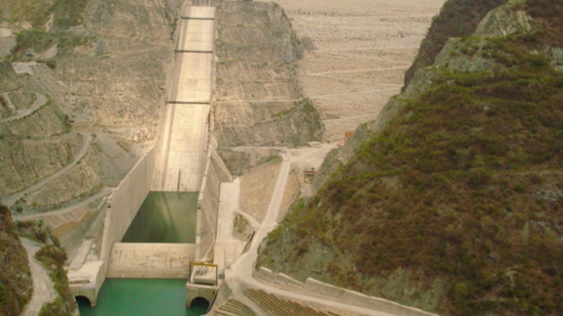 Arvind Iyer from Mumbai, India, Wikimedia Commons
New Tehri Could Not Replace Everything
New Tehri provided housing, roads, schools, government offices, and modern infrastructure that Old Tehri lacked in some areas. Yet relocation disrupted businesses and separated residents from riverfront traditions, agricultural land, and community spaces built over generations. The old town disappeared beneath the reservoir as the dam became operational. The community survived physically, but the move demonstrated that planned replacement cannot fully reproduce an inherited sense of place.
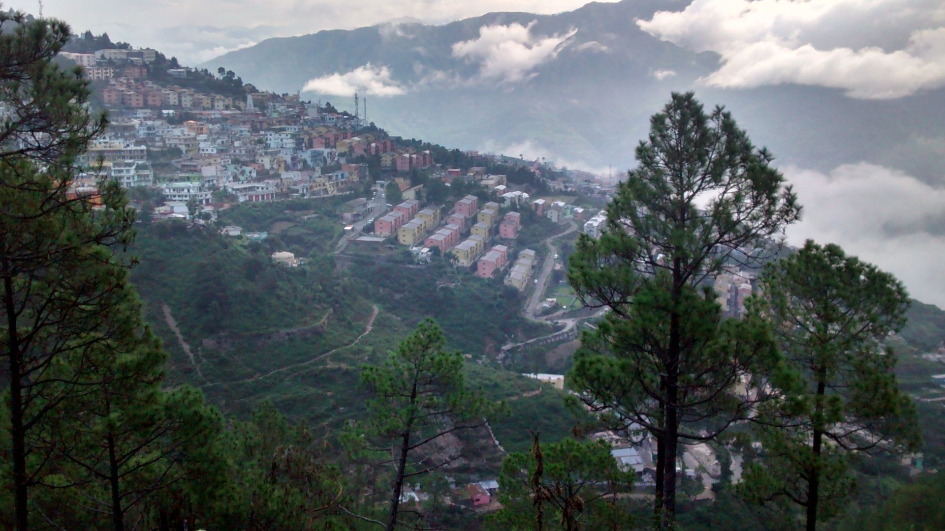 Rahul upreti, Wikimedia Commons
Yungay Vanished In Minutes
On May 31, 1970, an earthquake triggered a gigantic avalanche of ice, rock, snow, and soil from Peru’s Mount Huascarán. The debris traveled approximately 14.5 kilometers at extraordinary speed and buried the city of Yungay. More than 18,000 people were killed in Yungay and the surrounding area, leaving only a small group of survivors. The scale of destruction made rebuilding on the original location both dangerous and emotionally unthinkable.
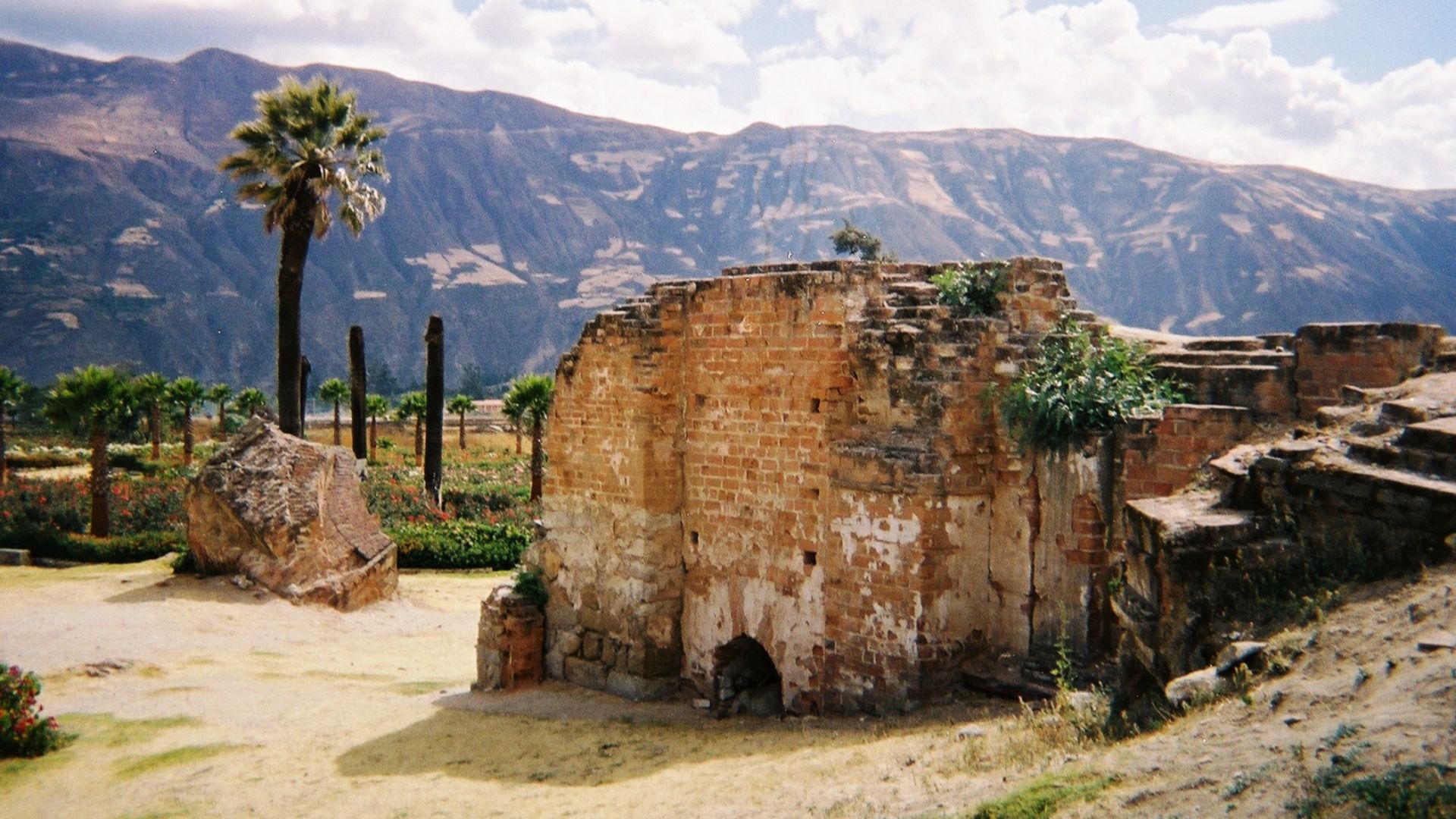 Zafiroblue05, Wikimedia Commons
New Yungay Rose Beside A Cemetery
The Peruvian government preserved the buried town as a national memorial rather than excavating and rebuilding it. Survivors and newcomers established a new Yungay north of the destroyed settlement. The new community became a regional center while living beside one of South America’s most devastating disaster sites. Its existence reflects survival, but also the impossibility of separating the relocated town from the catastrophe that created it.
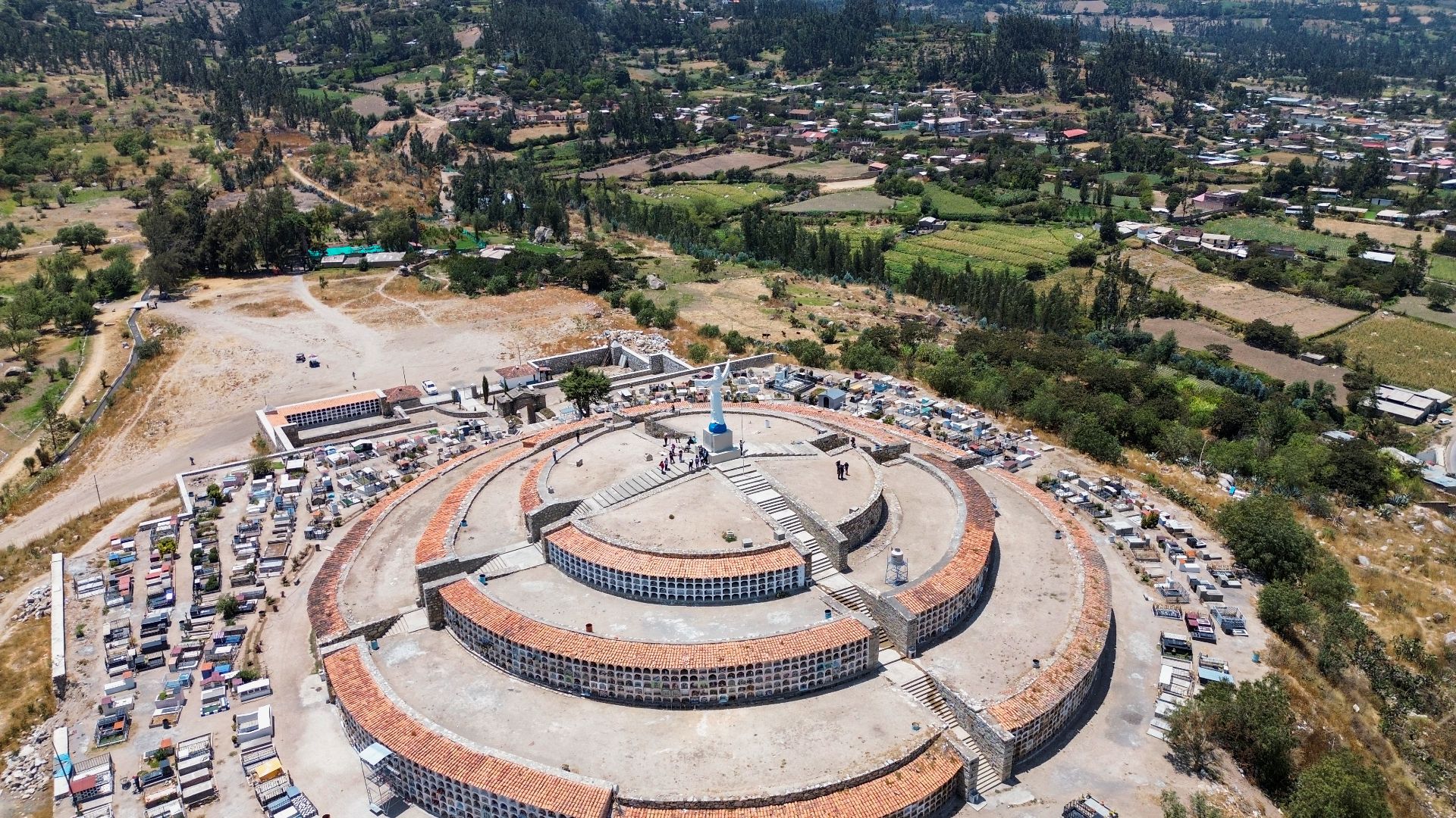
A Volcano Grew Beneath A Cornfield
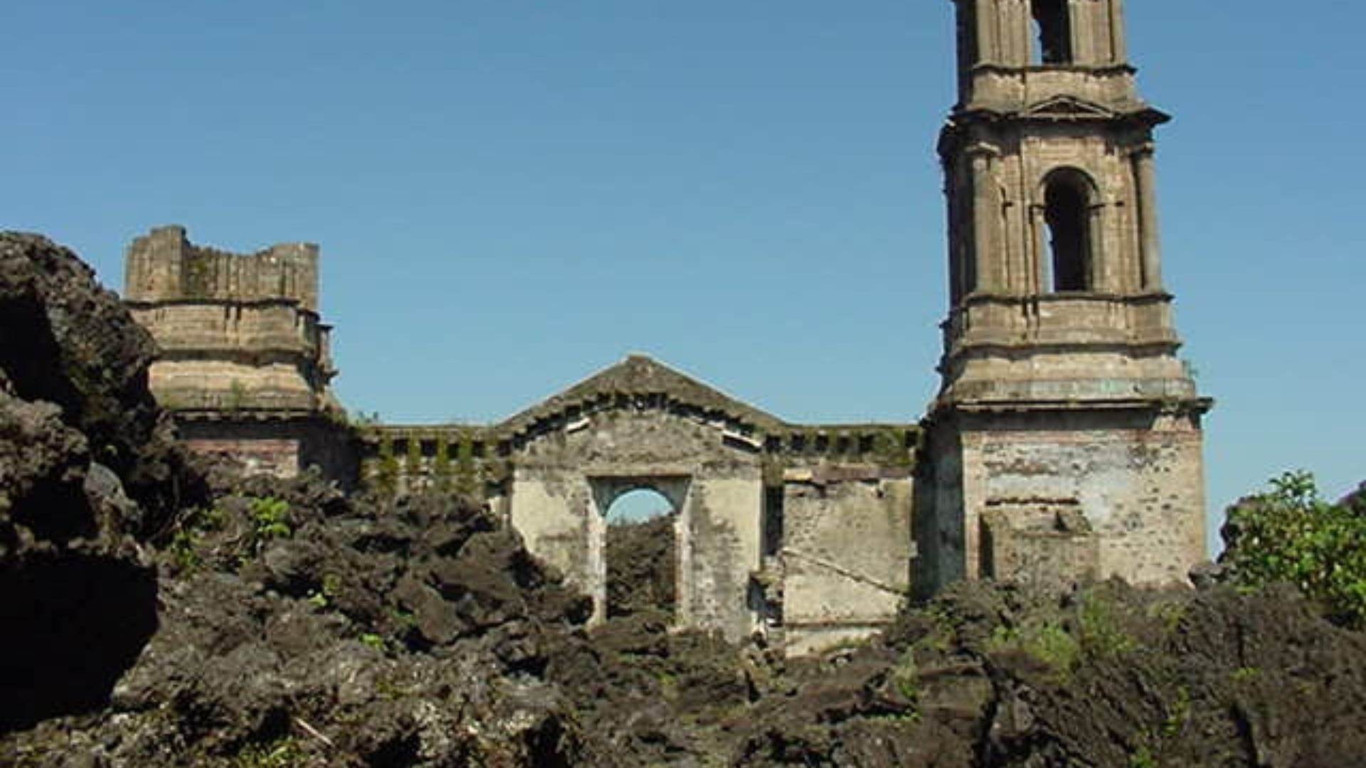
Parícutin erupted suddenly in a Mexican farmer’s field in February 1943. Over the following years, ash and lava overwhelmed the villages of Parícutin and San Juan Parangaricutiro. The slow advance of the lava allowed residents to evacuate before the settlements were buried. Families from San Juan chose to remain together and establish a replacement community rather than scatter permanently.
 User:Sparksmex, Wikimedia Commons
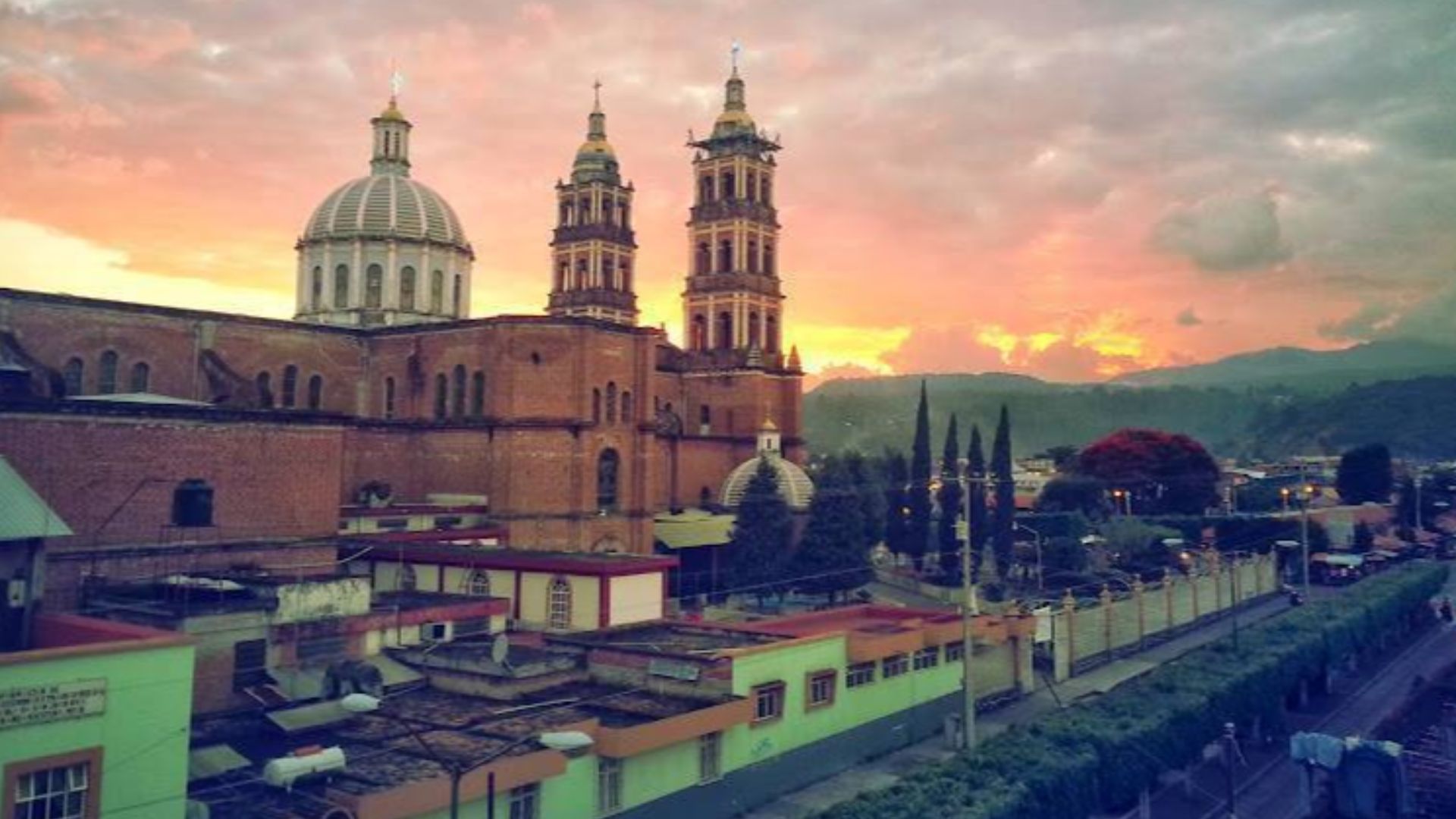
San Juan Refused To Die
Approximately a year and a half after the eruption began, residents left in a procession carrying religious images and important belongings. They rebuilt at a nearby hacienda site that became Nuevo San Juan Parangaricutiro. The tower and altar area of the old church still rise dramatically from the lava field, linking the new community to the one it lost. The town’s popular nickname, “the town that refused to die,” captures the determination behind its relocation.
 Julcerlain Black, Wikimedia Commons
Morococha Moved For Copper
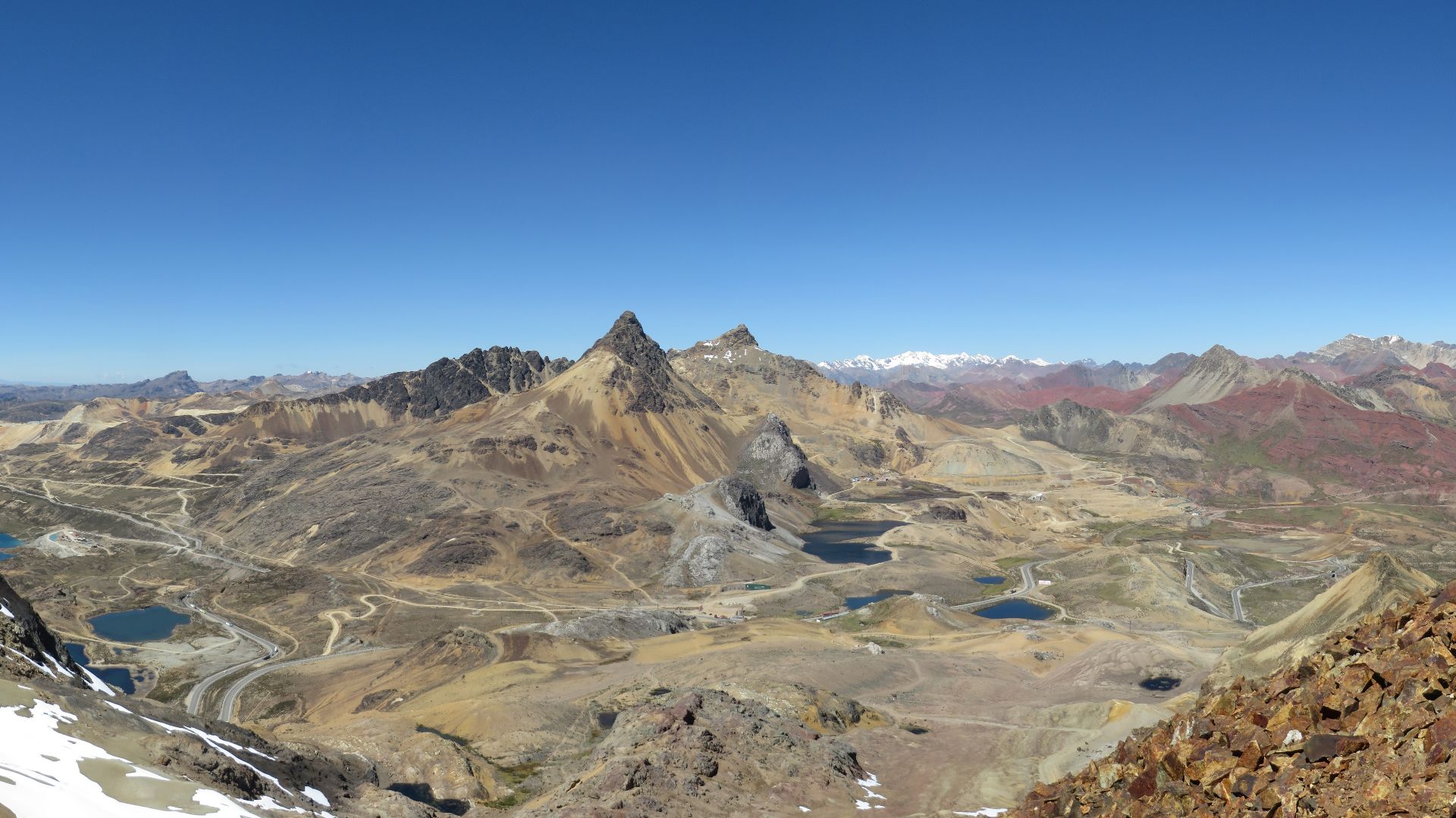
Morococha, Peru, had developed around mining but eventually stood in the path of the enormous Toromocho copper project. Decades of industrial pollution had already left the old town with serious environmental and infrastructure problems. The mining company Chinalco constructed Nueva Morococha approximately 10 kilometers away to house thousands of residents. Most families moved during the 2010s, though some resisted for years.
 Josue Hermoza, Wikimedia Commons
A New Town Did Not Guarantee Survival
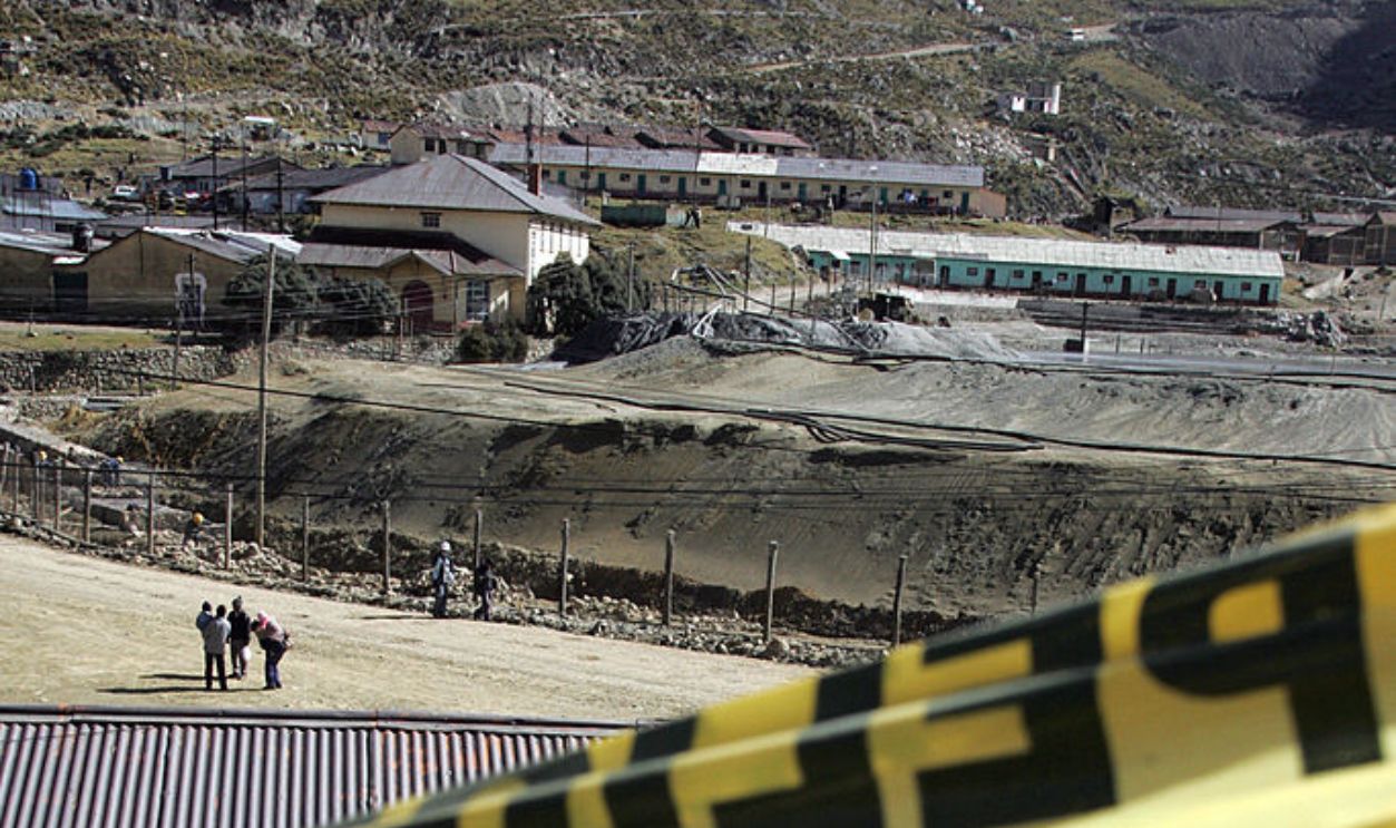
Nueva Morococha offered paved roads, utilities, schools, churches, and newer housing. Residents nevertheless complained about reduced employment opportunities, weak local commerce, inadequate consultation, and the loss of their old town’s economic networks. The final holdouts were removed only after years of legal and political conflict. Morococha’s story shows that a community can be physically relocated while its social and economic survival remains unsettled.
 EITAN ABRAMOVICH, Getty Images
Moving Together Preserved More Than Buildings
These relocations followed very different paths, from community votes and negotiated rebuilding to forced removal after disasters or development projects. Successful moves usually preserved municipal institutions, schools, businesses, religious traditions, and social networks rather than treating residents as isolated households. Even then, communities often carried grief, inequality, and unresolved disputes into their new locations. Survival required physical safety, but belonging depended on whether people were allowed to shape what came next.
 User:Magicpiano, Wikimedia Commons
You May Also Like:
The Forgotten Industries That Once Employed Millions Of Americans
The oldest permanent human settlement in Europe was found in Albania.
Sources: 1, 2, 3, 4, 5, 6, 7, 8, 9, 10, 11, 12, 13, 14, 15, 16, 17, 18, 19, 20, 21, 22, 23, 24, 25, 26, 27, 28, 29, 30, 31, 32, 33, 34, 35, 36, 37, 38, 39, 40, 41