The Map That Changed Everything
Every famous map begins with careful planning, except the one that didn’t. In 1525, a Bible introduced a Holy Land map printed completely backwards. Strangely, readers trusted it anyway. That small slip created a quiet distortion that affected people for centuries.
Europe In 1525 Was Rethinking Almost Everything
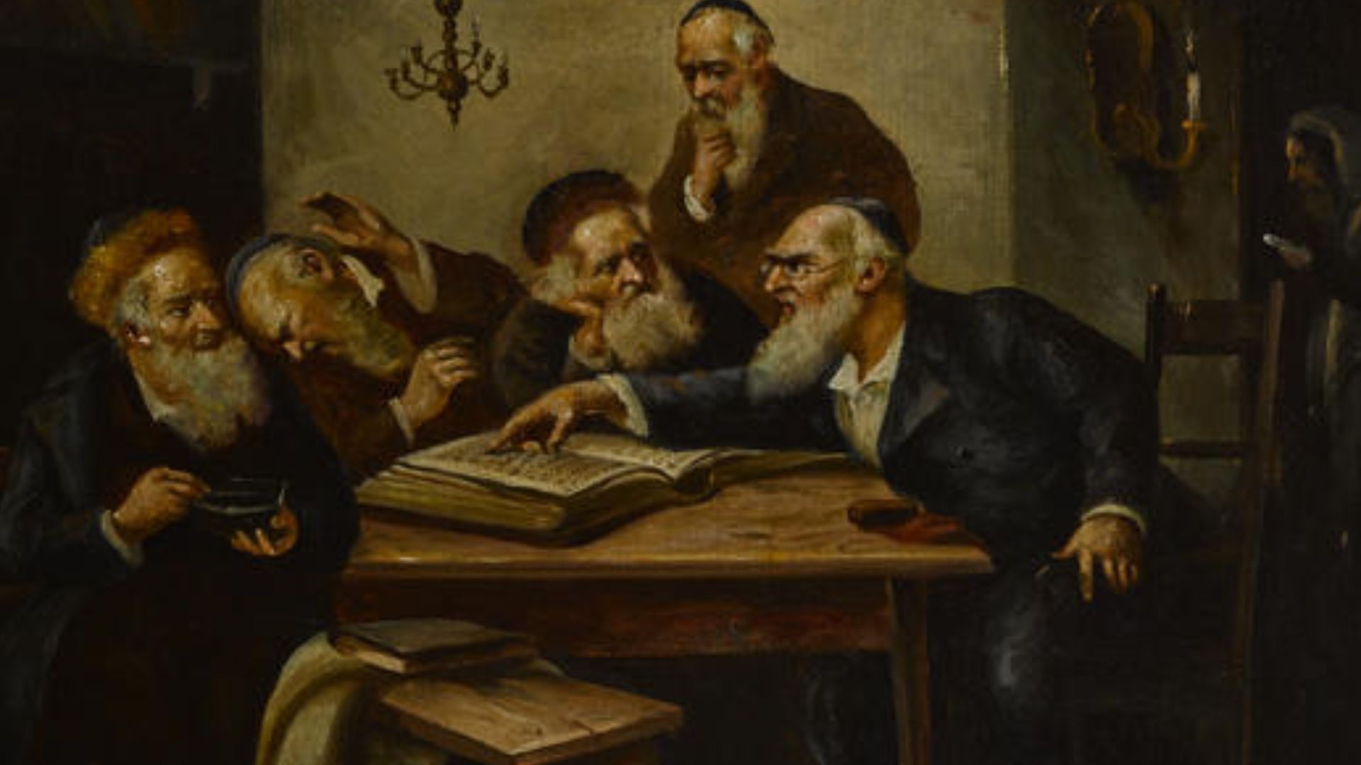
Europe in 1525 felt unsettled. Old beliefs were being challenged, new voices were rising, and printing presses spread ideas faster than anyone expected. People were suddenly reading the Bible themselves, which changed how they thought about faith and the world around them.
 Internet Archive Book Images, Wikimedia Commons
Why Bibles Suddenly Needed Maps
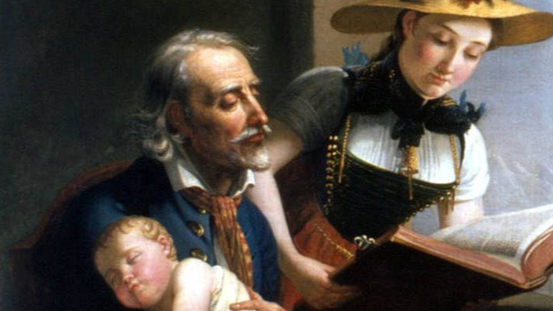
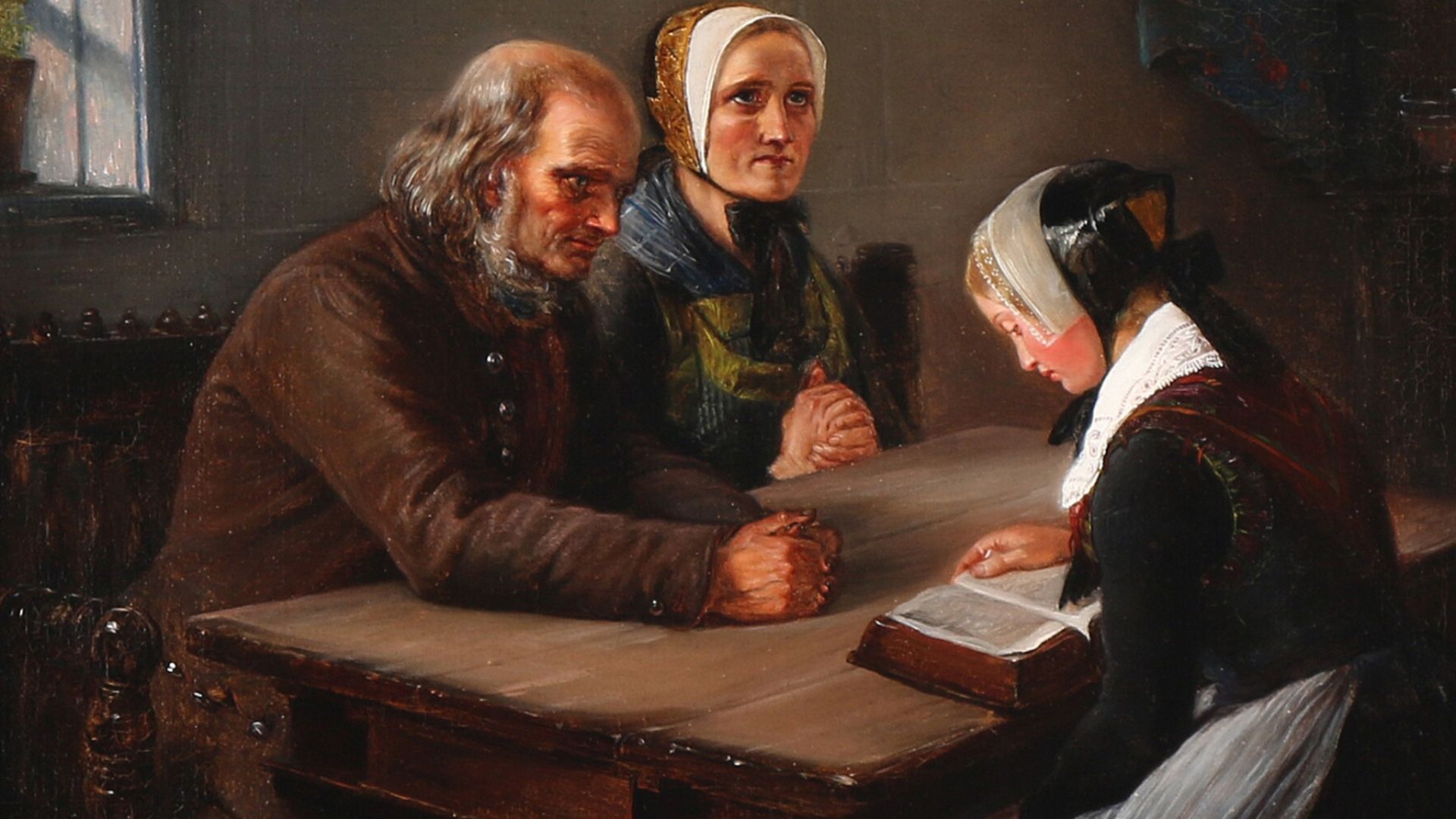
As more people read scripture on their own, they wanted to picture where these stories happened. A map helped turn ancient names into real places. It made distant events feel closer, like you could almost trace the journeys with your finger across the page.
The Zurich Bible And Its Makers
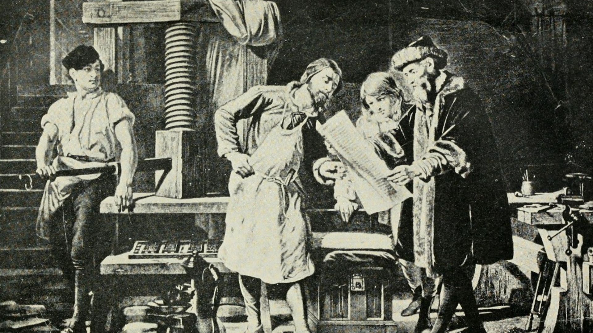
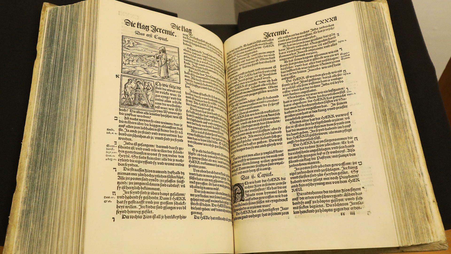
The backwards map appeared in a German Bible printed in Zurich by Christoph Froschauer, one of the busiest printers of the Reformation. Zurich, influenced by the preacher Huldrych Zwingli, encouraged books that ordinary readers could understand without needing Latin or special training.
 Martin Rulsch, Wikimedia Commons, Wikimedia Commons
The Artist Behind The Image
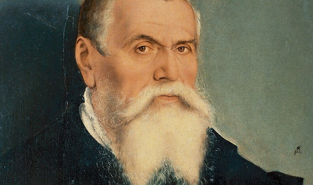
The map is connected to Lucas Cranach the Elder or his workshop, and he was a respected German artist known for clear, bold woodcut illustrations. He worked with leading reformers and created images that helped readers make sense of stories that once lived only in sermons.
 Lucas Cranach the Younger, Wikimedia Commons
How People Saw Maps Before Cranach
Before printed atlases, most Europeans knew maps as symbolic drawings that placed Jerusalem at the center of the world. These images weren’t meant for navigation. They blended faith and geography, offering a spiritual picture of the world rather than a realistic one.
 Gustav Droysen, Wikimedia Commons
The Holy Land As A Place People Wanted To Picture
For centuries, the Holy Land existed in most minds as a mixture of scripture and imagination. Pilgrims described it, scholars debated it, and artists tried to sketch it. A clear map promised something new: a way to picture these stories as events anchored in real space.
 Bernard Trebacz (1869-1941), Wikimedia Commons
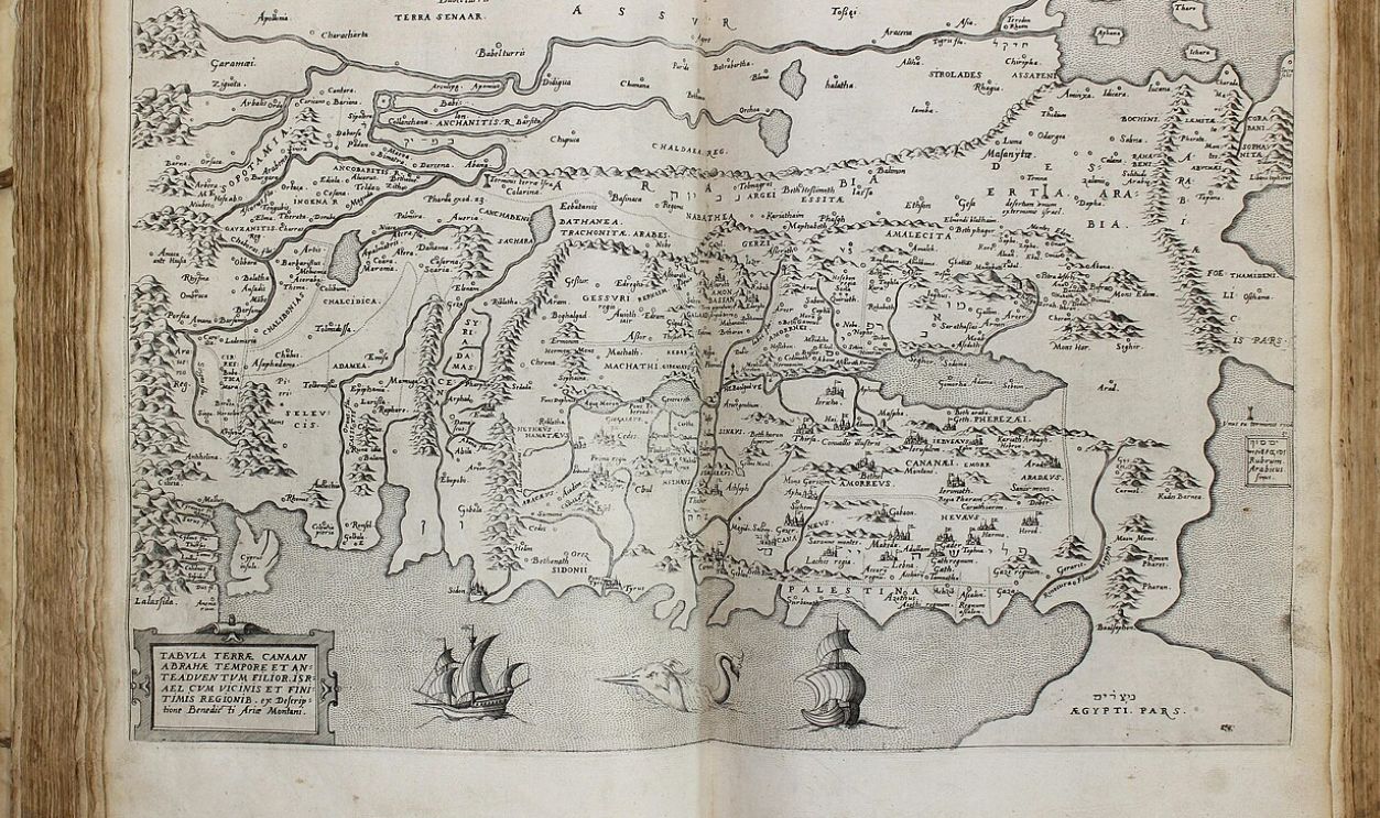
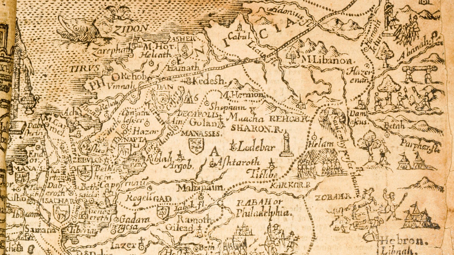
How The Map Was Designed
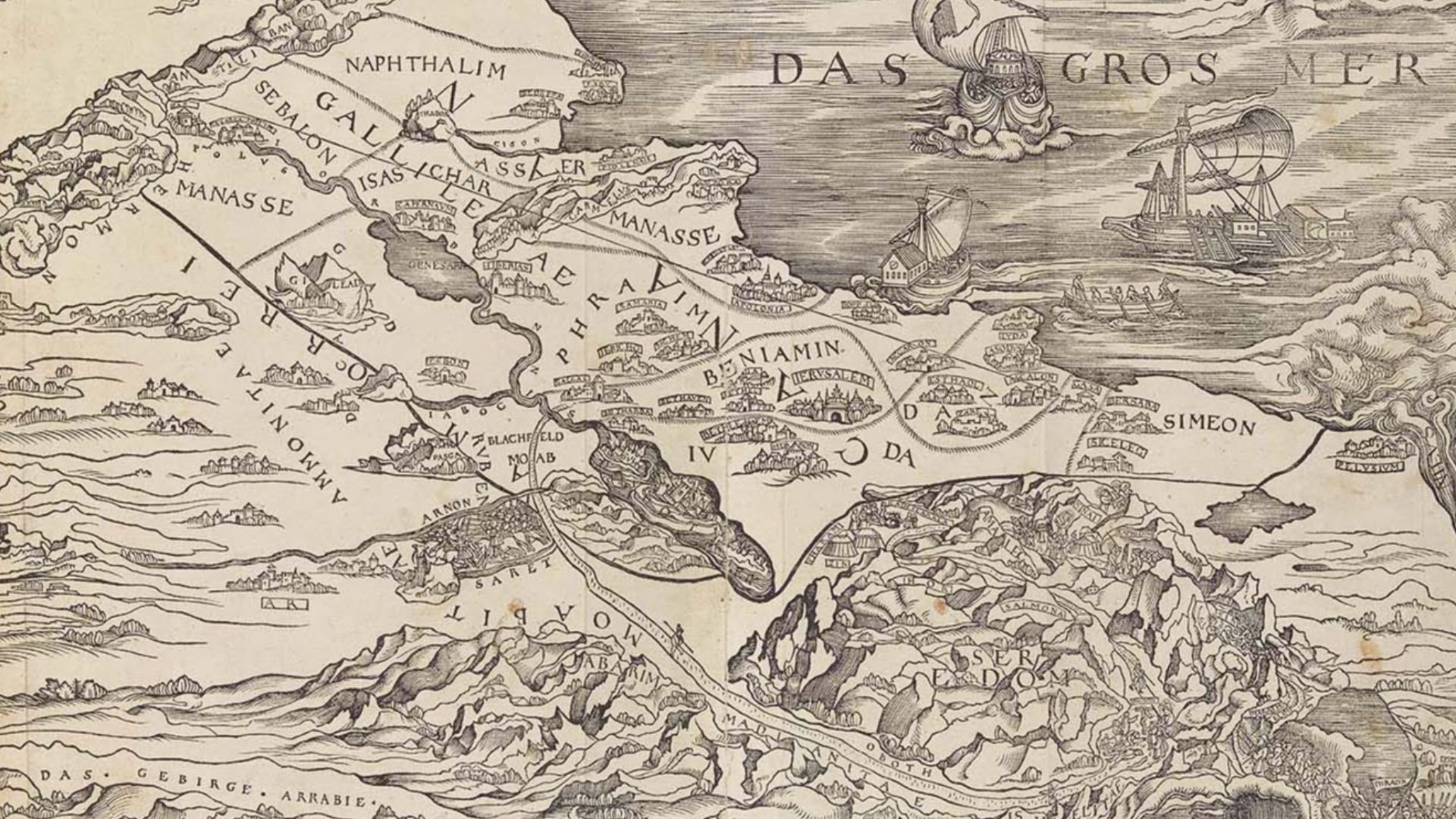
The 1525 map relied on earlier sketches and written descriptions of ancient Palestine. It showed the places mentioned in the Old Testament. Made as a woodcut, it carried Cranach’s bold lines, turning complex geography into a simple image readers could follow.
 Lucas Cranach, Wikimedia Commons
Why The Printing Error Happened
Woodcuts print as mirror images unless reversed ahead of time. If the design isn’t flipped on the block, the final print appears backwards. That’s what happened here. The carving was correct, but the print wasn’t, and no one was aware of that.
History's most fascinating stories and darkest secrets, delivered to your inbox daily.
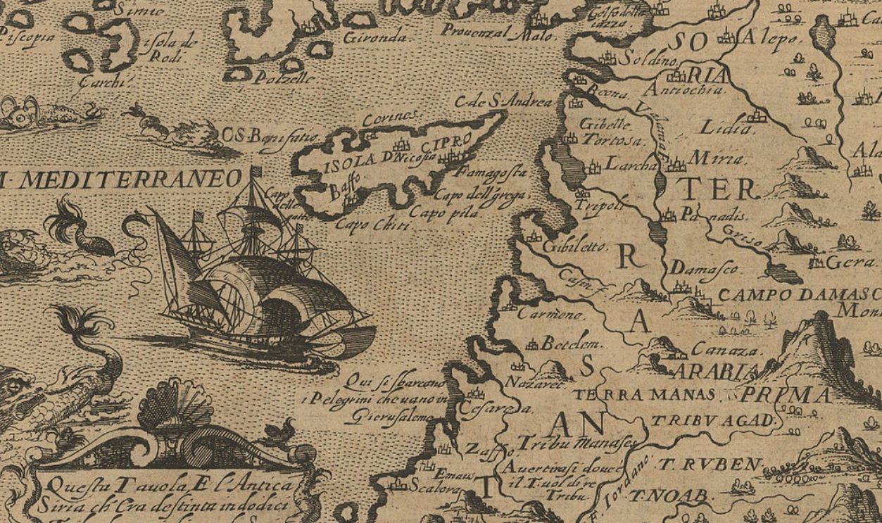
The Mediterranean On The Wrong Side
The most noticeable error was the coastline. On the map, the Mediterranean Sea appeared east instead of west. Anyone familiar with real geography would spot it instantly, yet most readers didn’t. They trusted the printed page more than their limited geographic knowledge.
 Aa, Pieter van der, 1659-1733, Wikimedia Commons
Why Almost No One Noticed The Mistake
Geography wasn’t common knowledge in 1525. Many readers had never seen accurate regional maps, and travel was limited. If a Bible printed something, people assumed it was correct. The reversed layout simply blended into their understanding of a distant place they’d never visited.
 Frank William Warwick Topham, Wikimedia Commons
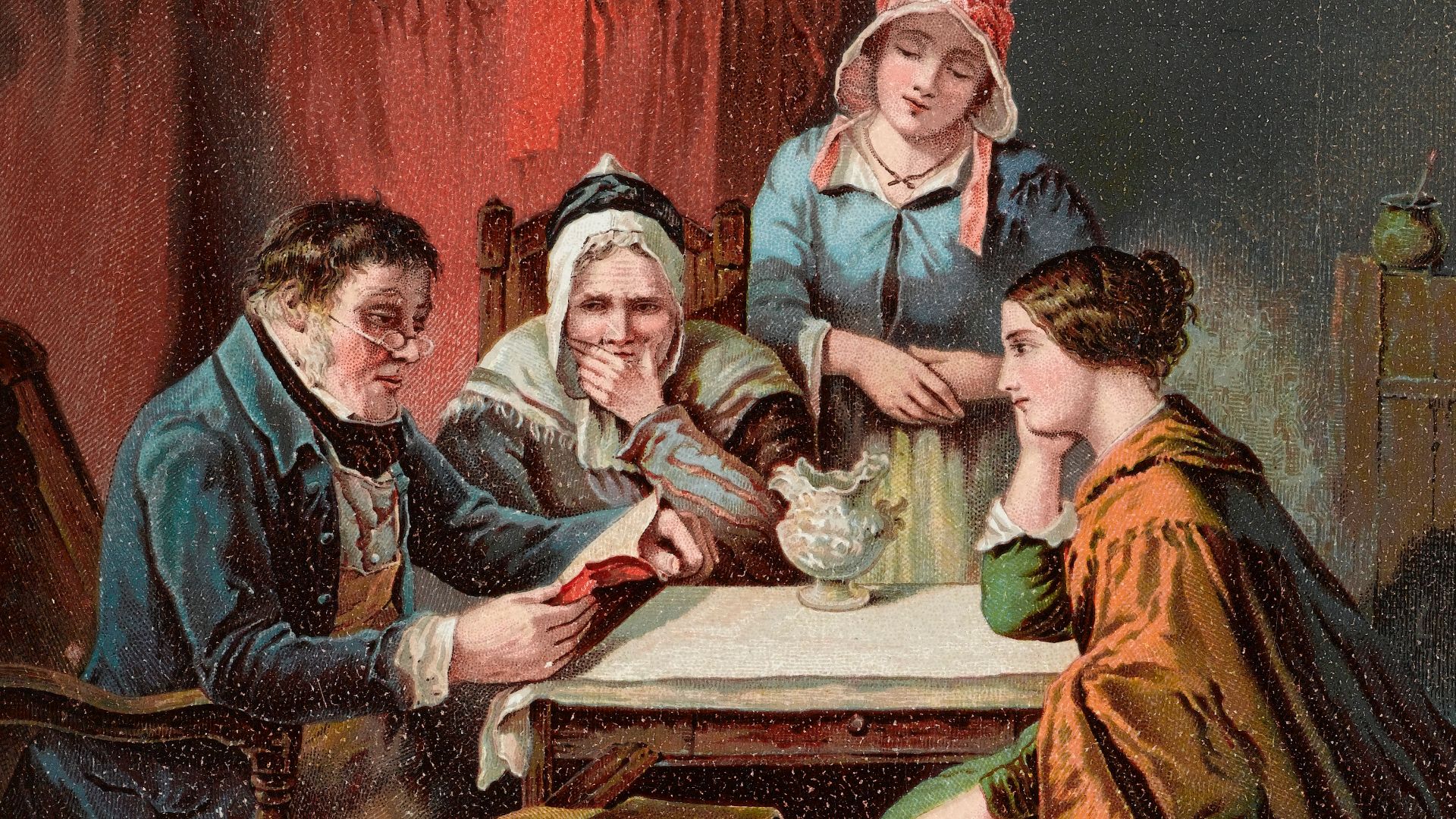
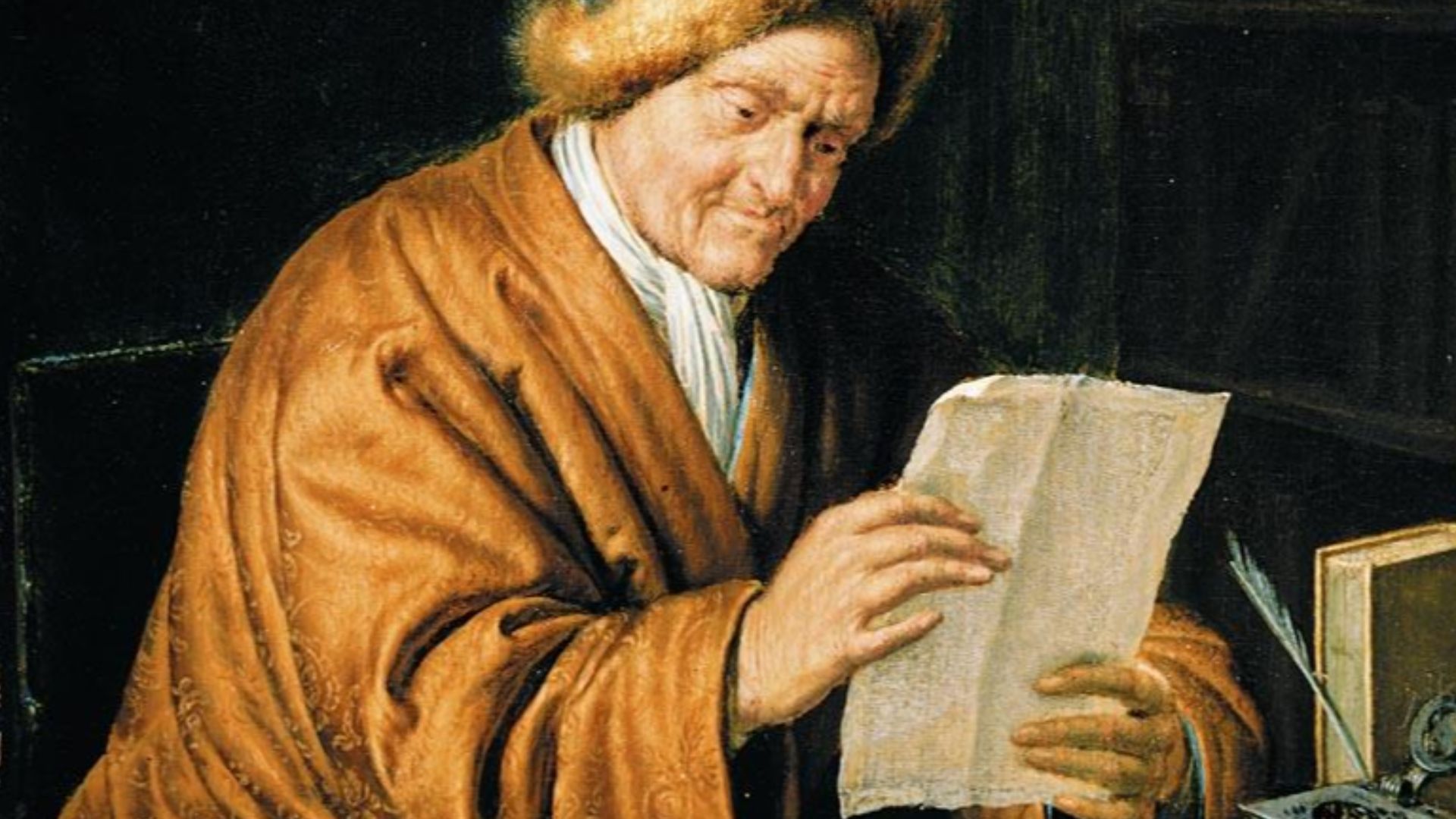
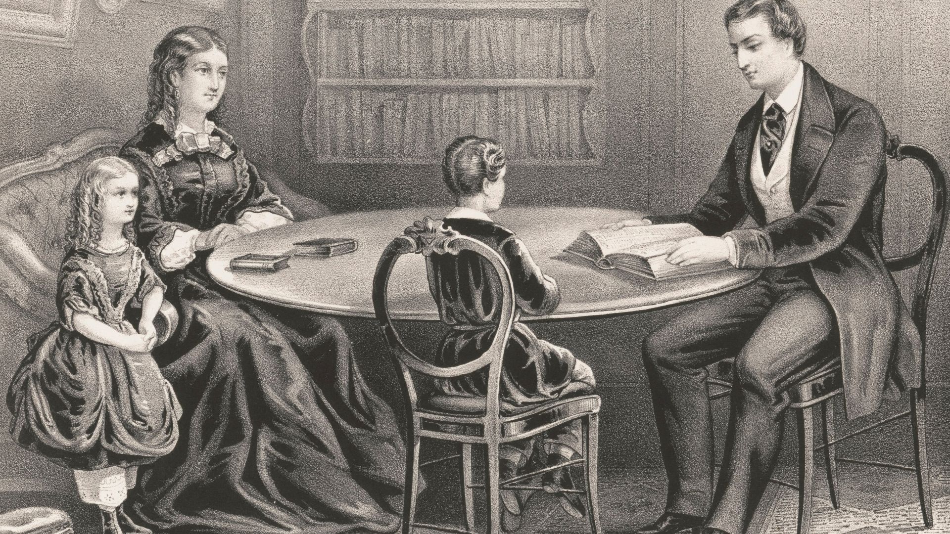
How Readers First Responded
No letters of complaint survive, and no early editions corrected the map, which suggests people accepted it. They used it as a visual aid, focusing on biblical names rather than directions. The map’s authority came from the Bible itself, not from geographic accuracy.
 Marie-Guillemine Benoist, Wikimedia Commons
Why Maps Changed How People Read Scripture
Most medieval Bibles had no maps, so adding one felt new and exciting. It let readers picture the Holy Land as real ground rather than a distant setting. Even reversed, the map gave journeys and events a sense of place, making scripture feel anchored in history.
 Elisabeth Baumann, Wikimedia Commons
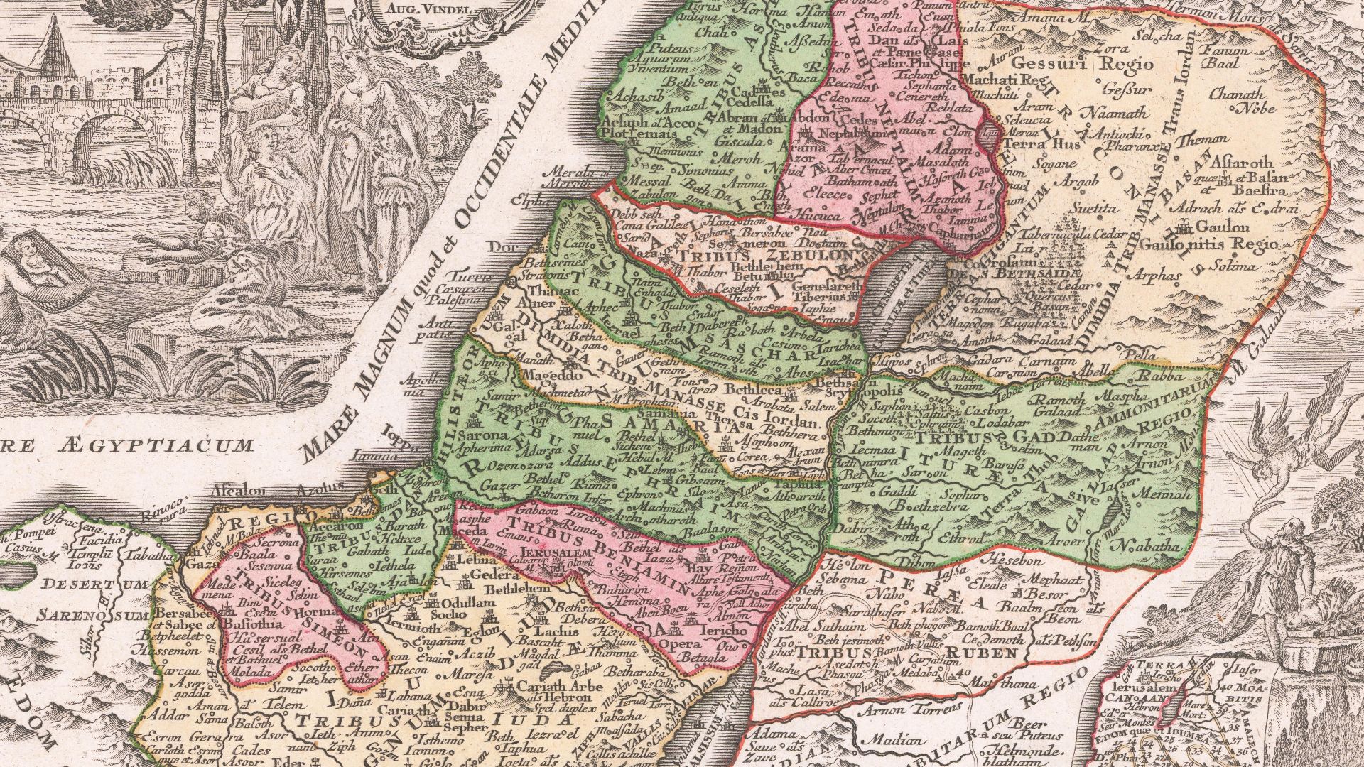
Tribal Boundaries That Looked Like Territorial Lines
The map showed the twelve tribes of Israel as clear, divided regions. These divisions came from scripture, not political maps, yet readers saw them as borders. Even reversed, the layout encouraged people to imagine the Holy Land as a patchwork of defined territories.
 Giuseppe Rosaccio, Wikimedia Commons
How The Map Quietly Fed Emerging Political Ideas
The neatly separated tribal areas offered more than a Bible study aid. They echoed ideas forming in Europe about organized territories and defined groups. Readers who saw ancient communities arranged so clearly could imagine political identity in similar ways, even though real borders were far less stable.
 Arnoldus Montanus, Wikimedia Commons
Bible Maps Spreading Across Europe
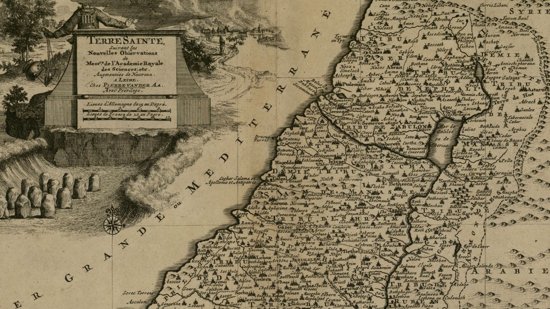
The idea caught on. By the seventeenth century, many European Bibles included maps. They weren’t identical, but they built on the same concept: turning scripture into geography. The reversed 1525 version helped set that template by showing there was a demand for visual guidance.
 juxtapose^esopatxuj, Wikimedia Commons
Influence On Later Cartography
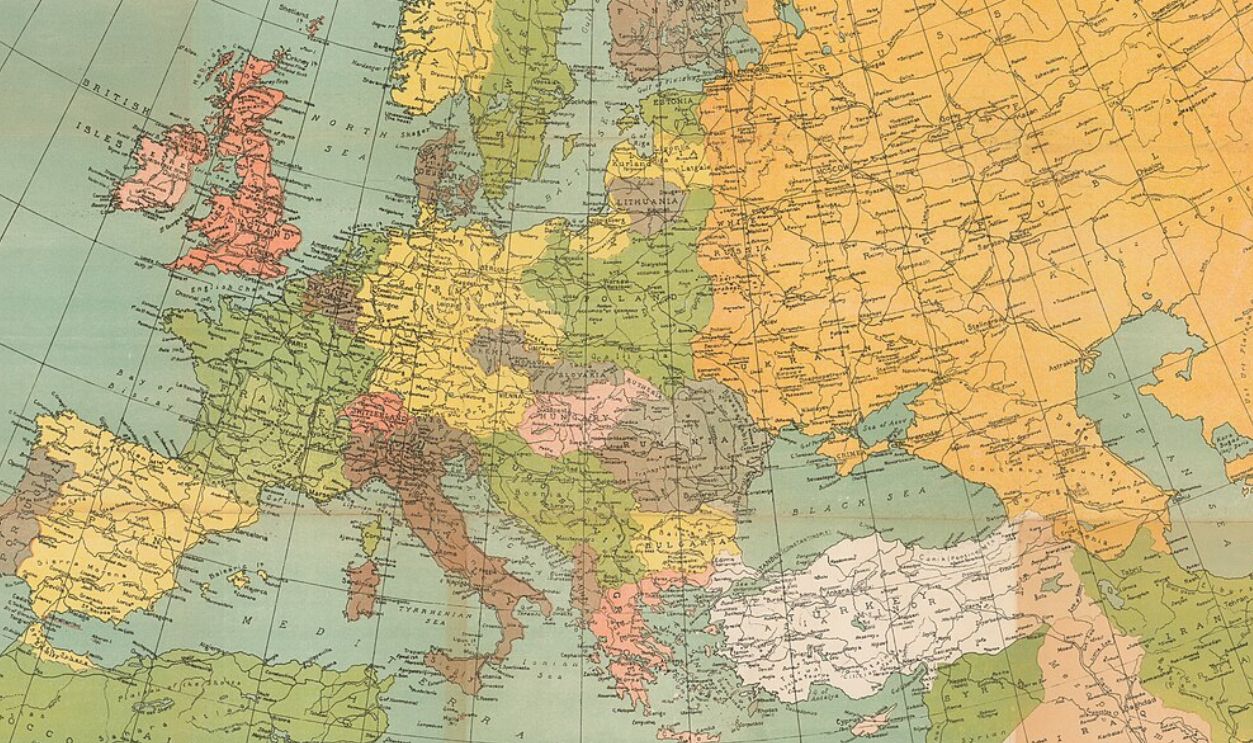
As maps became more common, cartographers shifted toward clearer borders and labeled regions. The early Bible maps didn’t cause this trend alone, but they contributed to a growing habit of imagining land as something divided, named, and structured—ideas that became central to later mapping.
 Eran Laor Cartographic Collection, Wikimedia Commons
How Politics Looked Before Borders Became Normal
In early sixteenth-century Europe, power wasn’t tied neatly to lines on a map. Authority shifted through marriages and alliances. A map inside a Bible felt unusual because it pictured land as something that could be arranged on a page, not negotiated through families.
 Peter Baumgartner, Wikimedia Commons
Why The Map Appealed To Leaders As Much As Readers
Rulers and church figures lived in an age of constant disputes over land and influence. A biblical map that sorted ancient groups into clear spaces offered a comforting order. It let political thinkers imagine older worlds as tidy models, even if reality was far less organized.
 Internet Archive Book Images, Wikimedia Commons
How Maps Began Changing Political Imagination
As printed maps circulated, people slowly adopted a new habit: thinking of regions as shapes with boundaries rather than loose zones of influence. The reversed Bible map wasn’t accurate, yet it trained viewers to see territory as something that could be measured, drawn, and discussed.
 Willem van Mieris, Wikimedia Commons
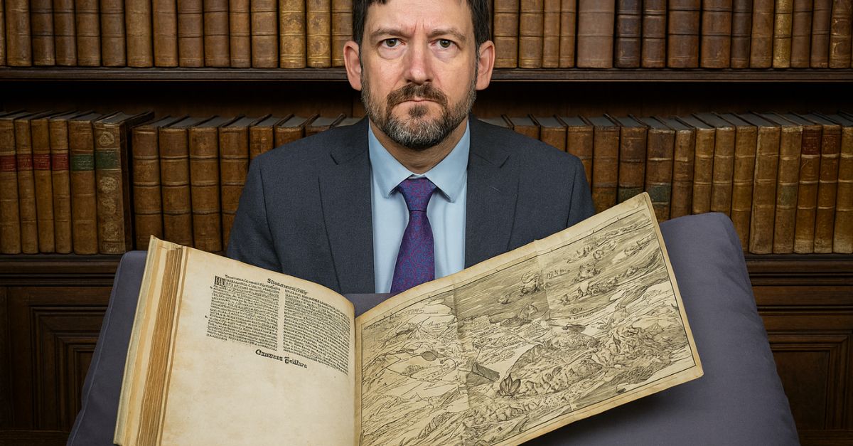
Where Surviving Copies Ended Up
Only a few original 1525 editions remain today. Some sit in major libraries and archives, where their fragile pages reveal early printing methods. These copies show how widely the map circulated and how long it stayed in use without being corrected.
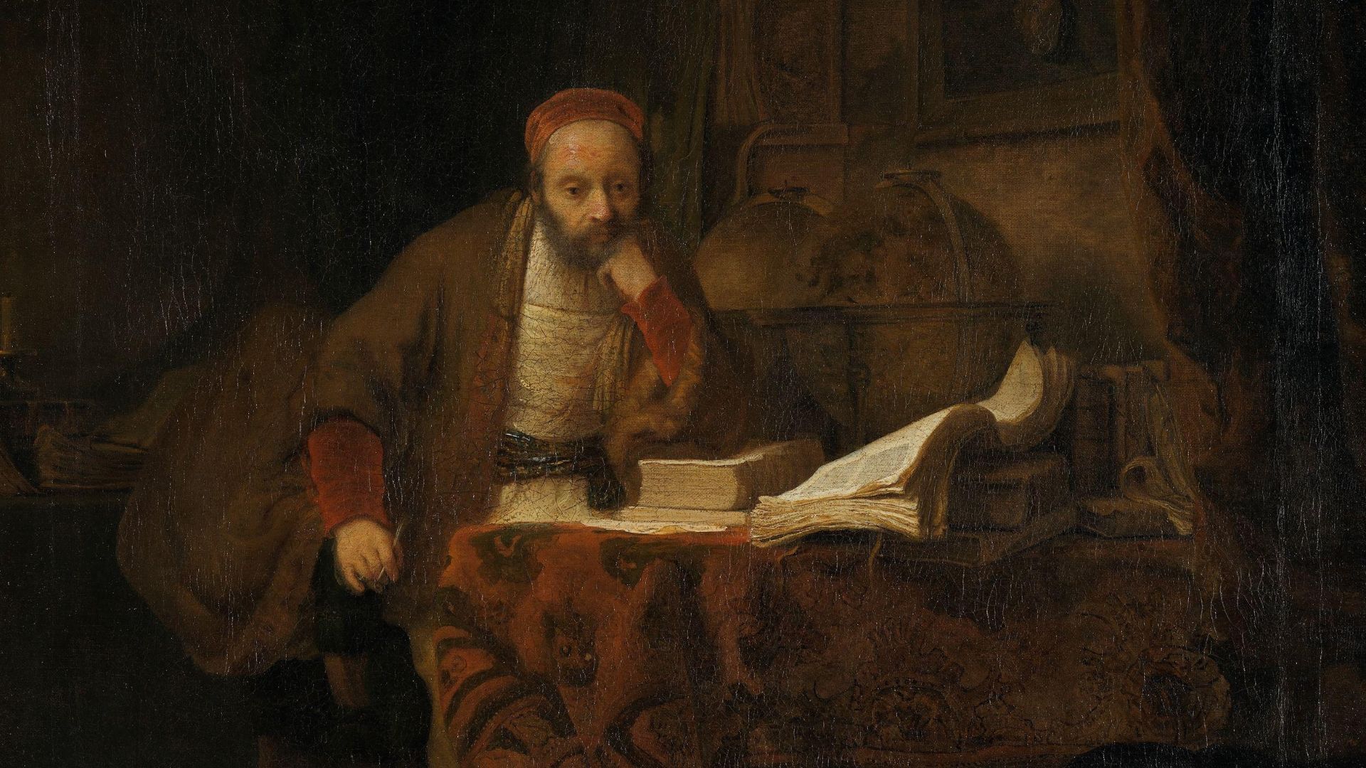
Why Scholars Treat Old Maps Carefully
Historians warn against reading these early maps as exact records. Many blended faith, tradition, and limited knowledge. The reversed map reminds us that accuracy wasn’t the goal. It was created to help readers through scripture, not to document the world as it truly looked.
 School of Rembrandt, Wikimedia Commons
How Mistakes Shape Culture More Than We Expect
History isn’t only shaped by grand decisions. Small errors leave marks too. The reversed map shows how a simple printing slip can ripple outward when people accept it. A mistake became part of everyday reading, guiding imagination long after the error was forgotten.
 Matthäus Seutter, Wikimedia Commons
The Lasting Influence Of A Backwards Map
Even though later maps corrected the geography, the 1525 version left a quiet imprint. It helped popularize the idea that scripture could be pictured on a page, and it encouraged readers to see the Holy Land as a structured land rather than a distant idea.
 Popular Graphic Arts, Wikimedia Commons
What This Story Reveals About Knowledge And Belief
The reversed map shows how people trust what feels authoritative, even when it’s flawed. It reminds us that beliefs often form around the tools we use to understand the world. A simple picture can lead the imagination just as strongly as words on the page.


