The War Nobody Expected
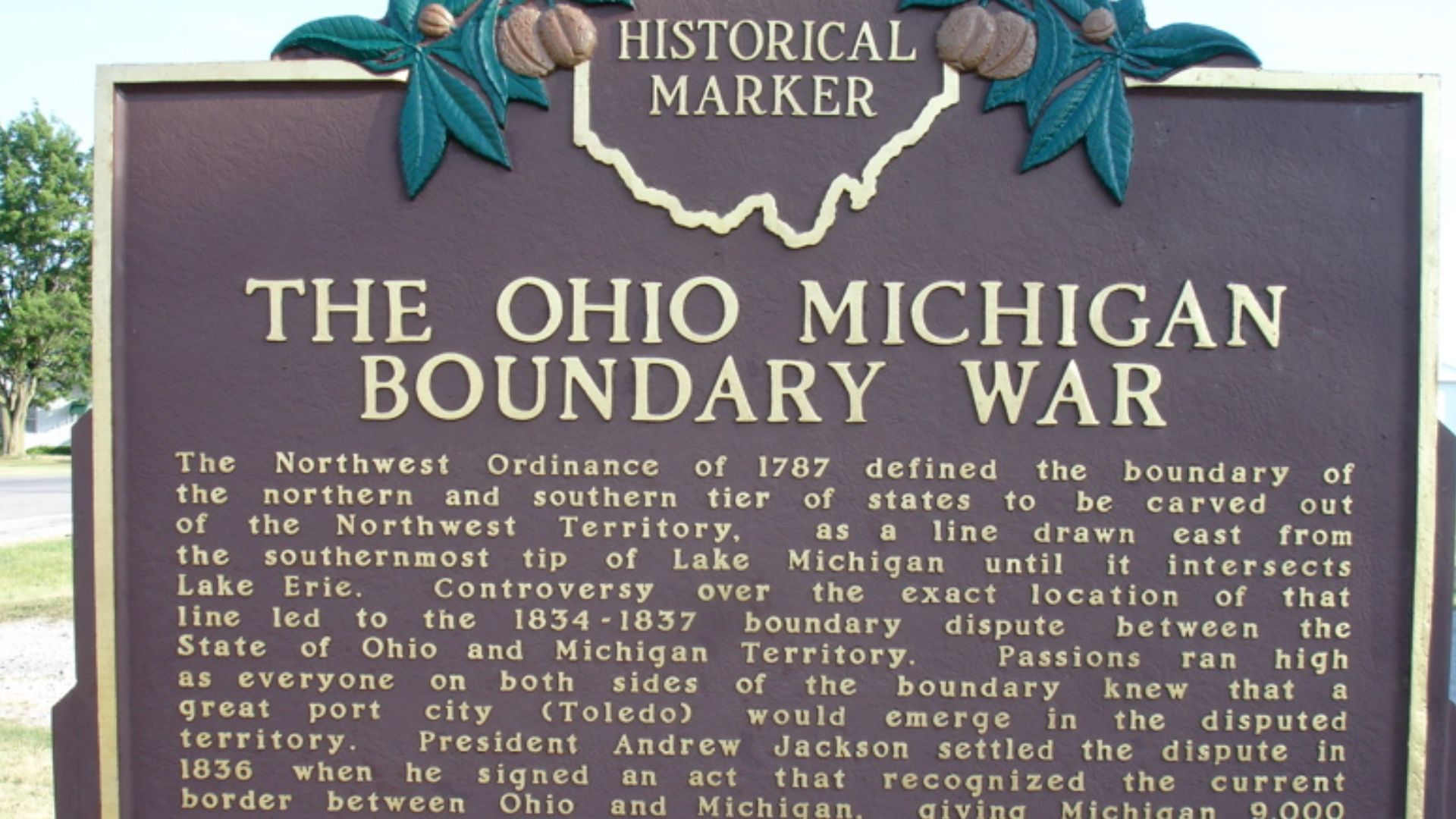
Long before Ohio and Michigan battled on the football field, they nearly fought with actual weapons. In 1835, both sides claimed the same narrow piece of land around Toledo. Militias mobilized, officials were arrested, and tempers exploded—all because old mapmakers had placed a lake in the wrong spot.
It Started With A Bad Map
The trouble began with maps drawn during the 1700s. At the time, cartographers believed the southern tip of Lake Michigan sat farther north than it really did. That small mistake would eventually create two possible borders—and give Ohio and Michigan a reason to distrust each other.
Congress Drew A Vague Line
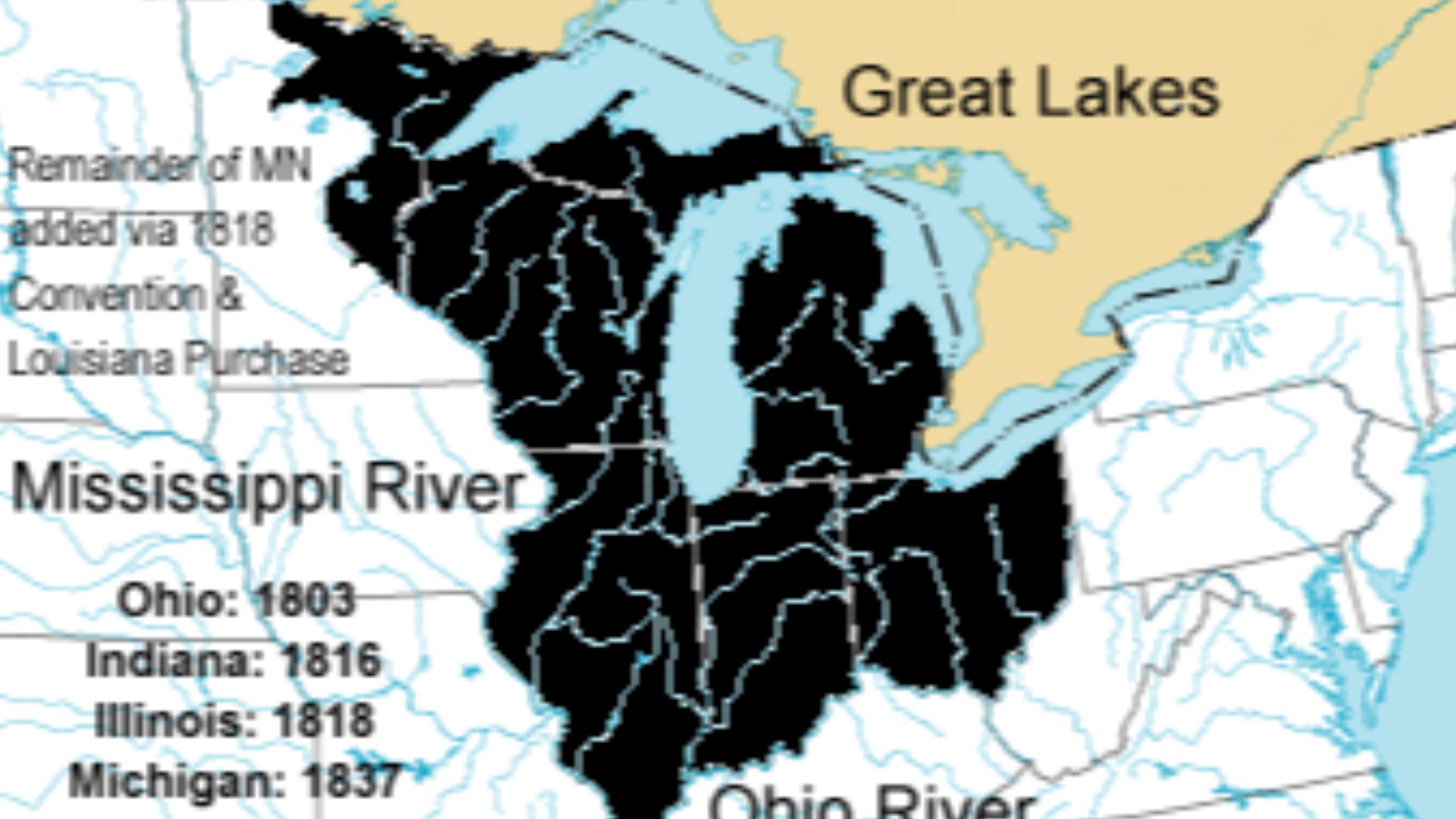
The Northwest Ordinance of 1787 said the future border should run east from the southern end of Lake Michigan until it reached Lake Erie. On the maps Congress used, that line passed north of the Maumee River. In reality, an accurately drawn line passed much farther south.
Ohio Protected Its Interests
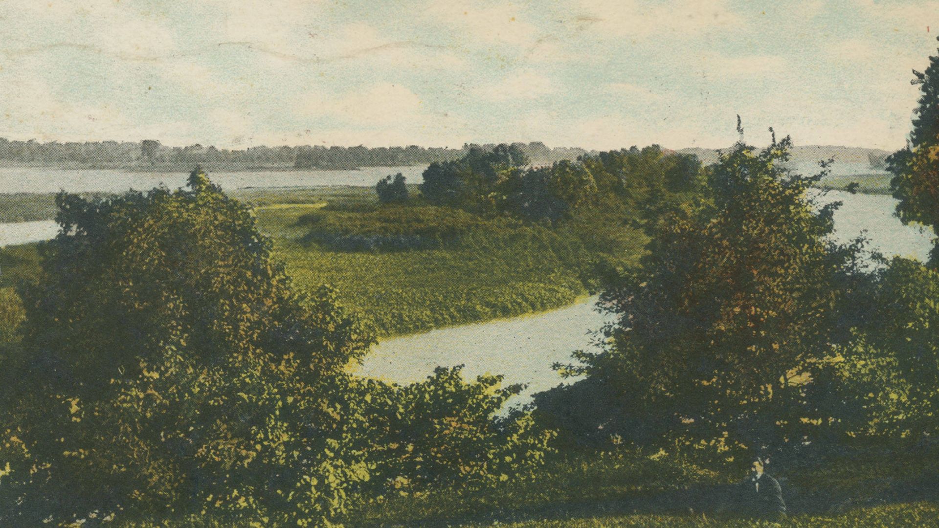
When Ohio prepared to become a state, its leaders realised the original boundary might cost them access to the Maumee River. Ohio’s 1802 constitution therefore included language allowing the border to angle northeast, placing the river’s mouth—and the future site of Toledo—inside Ohio.

History's most fascinating stories and darkest secrets, delivered to your inbox daily.
Michigan Saw Things Differently
Michigan Territory was created in 1805, and its leaders followed the original wording of the Northwest Ordinance. According to their interpretation, the border ran directly east from Lake Michigan’s true southern tip. That placed the Toledo area comfortably inside Michigan, no matter what Ohio’s constitution claimed.
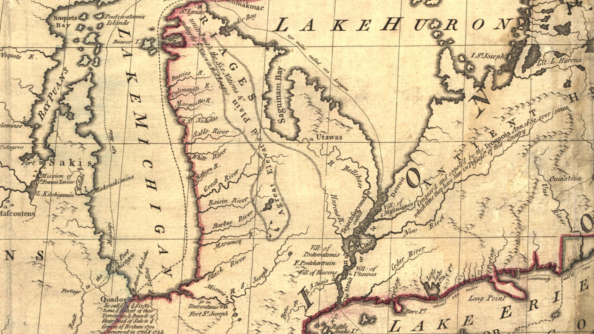 John Mitchell; digital version, Library of Congress, Geography and Map Division., Wikimedia Commons
Two Surveys Made Things Worse
The federal government eventually ordered surveys of the disputed border. Unfortunately, the surveyors produced two different lines. The northern Harris Line favoured Ohio, while the southern Fulton Line supported Michigan. Between them sat a wedge of contested territory that both governments insisted belonged to them.
Meet The Toledo Strip
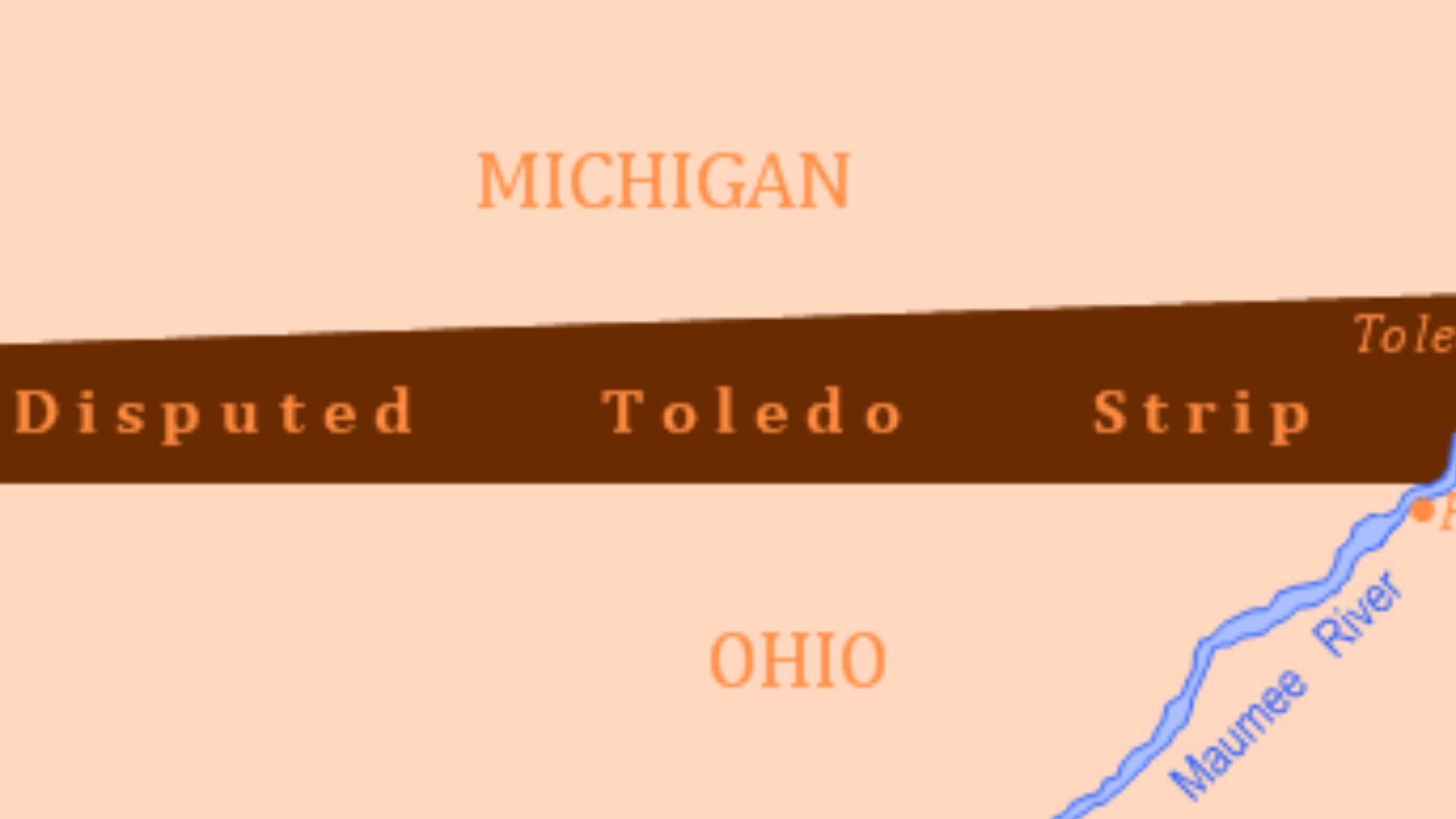
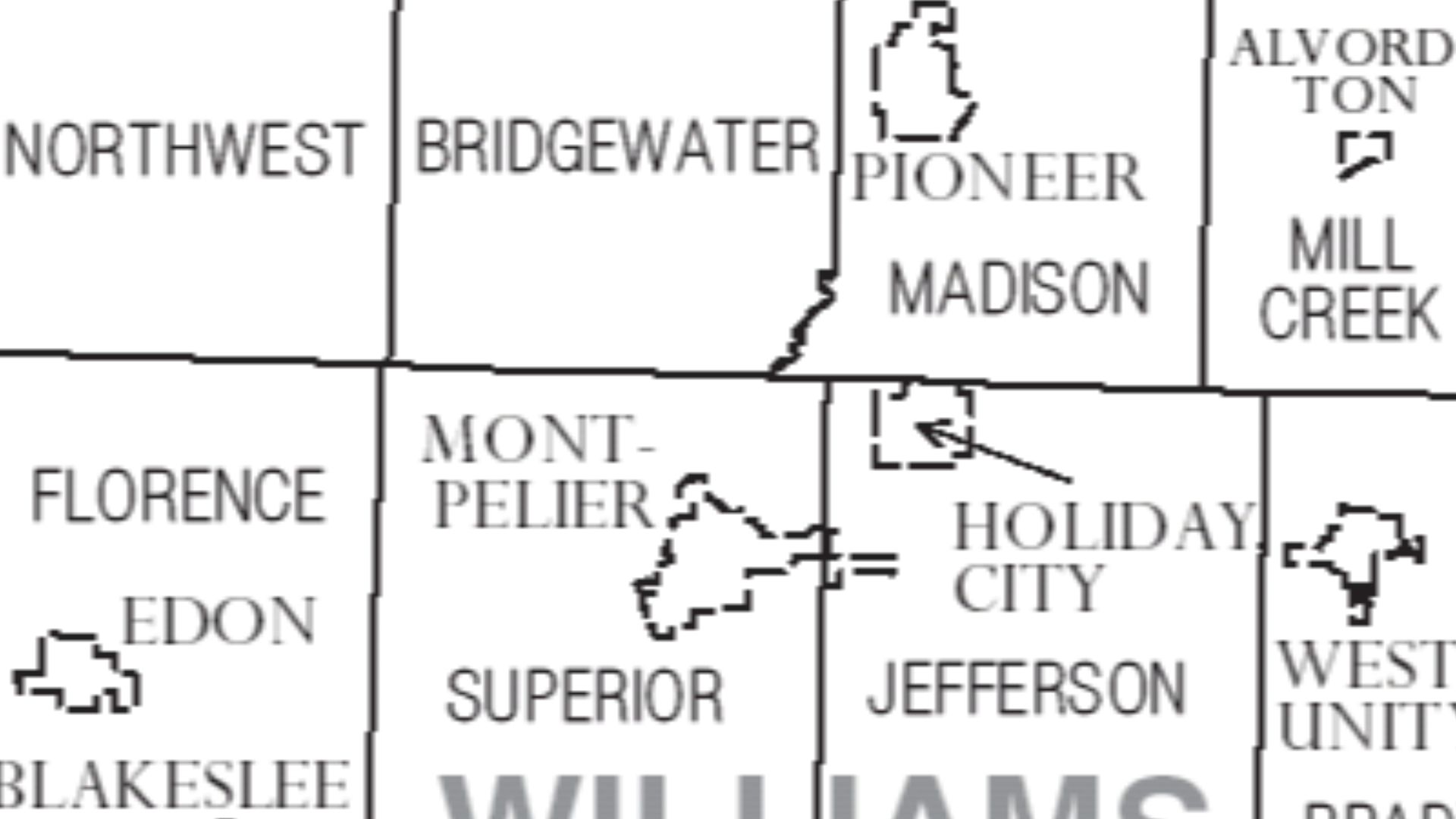
The disputed region became known as the Toledo Strip. It covered roughly 468 square miles, stretching across the northern edge of present-day Ohio. Although it was narrow, it included valuable farmland, growing settlements, and the mouth of the Maumee River. Neither side considered it disposable.
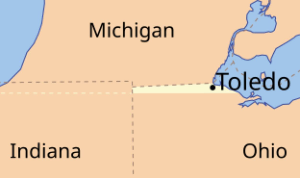 Phizzy, CC BY-SA 3.0, Wikimedia Commons
Toledo Had Enormous Potential
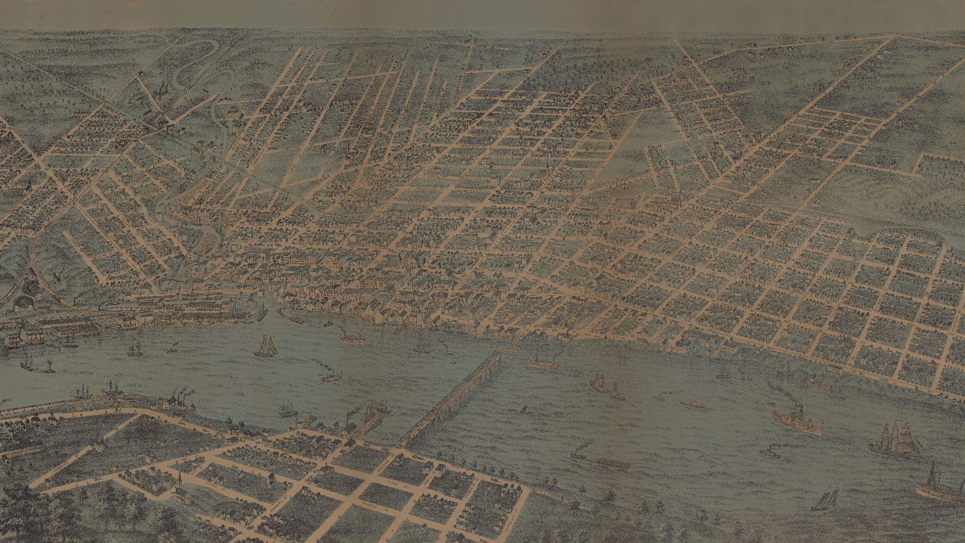
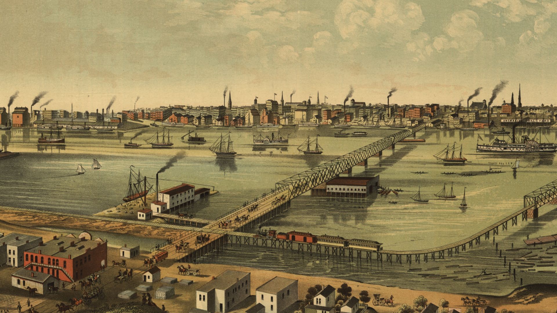
Toledo was still a young community, but its location was excellent. The Maumee River connected rich inland areas with Lake Erie, while canals promised access to eastern markets. After the Erie Canal opened in 1825, the village looked capable of becoming one of the Great Lakes’ busiest ports.
Michigan Ran The Area
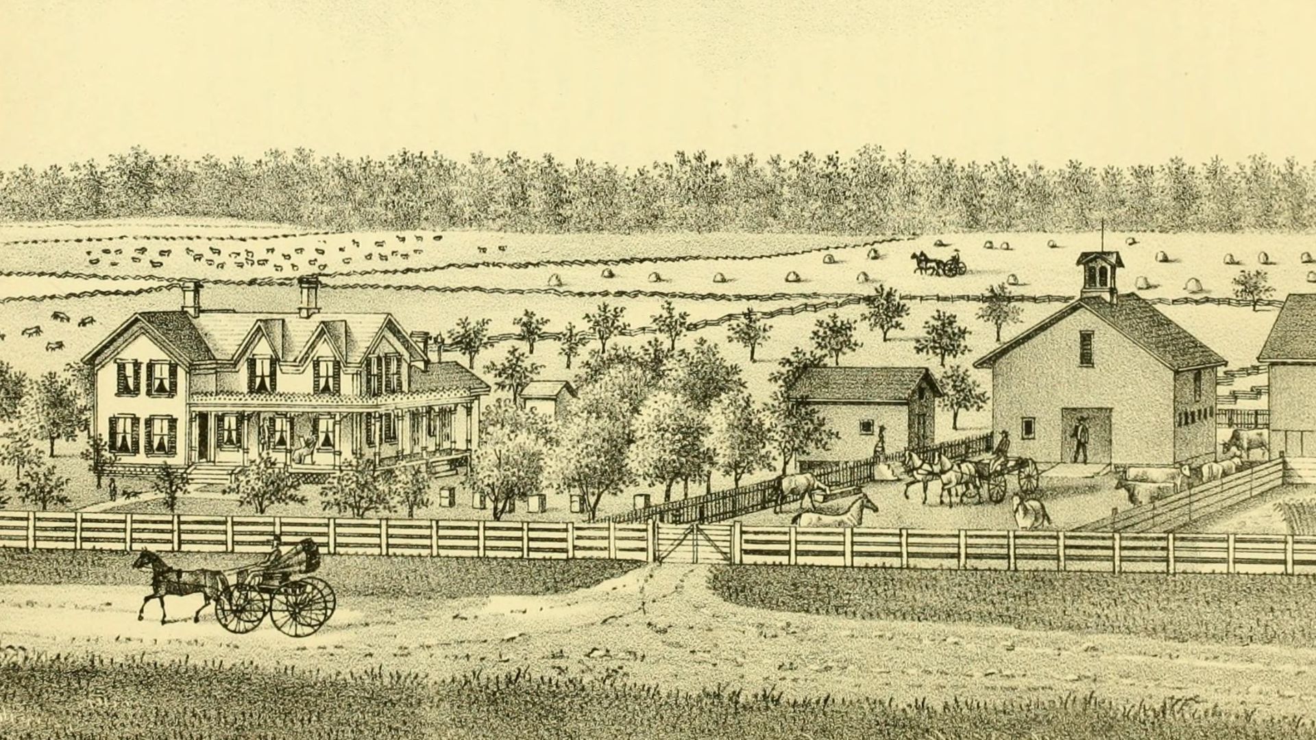
For years, Michigan Territory behaved as though the matter were settled. Its government built roads, collected taxes, organised elections, and enforced laws throughout the Strip. Many local residents accepted Michigan’s authority, although others preferred Ohio. The disputed land slowly became a confusing patchwork of rival loyalties.
 Ellis, Franklin, 1828-1885, Wikimedia Commons
Statehood Raised The Stakes
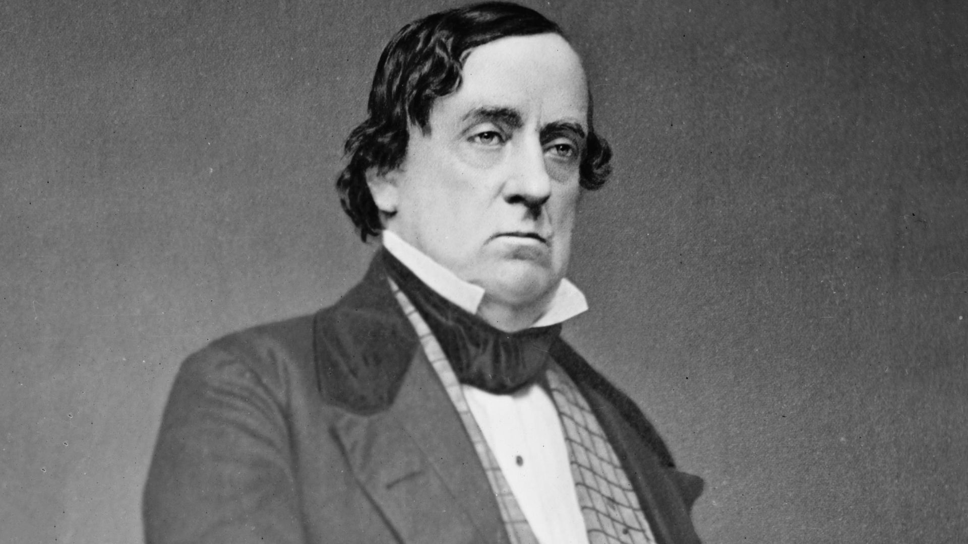
The argument became urgent when Michigan sought admission to the Union. Ohio’s representatives in Washington used their political influence to delay Michigan’s statehood unless it surrendered Toledo. Michigan’s leaders were furious. They believed Ohio was using its power as an established state to bully a territory.
 Brady-Handy Photograph Collection (Library of Congress), Wikimedia Commons
History's most fascinating stories and darkest secrets, delivered to your inbox daily.
Enter The Boy Governor
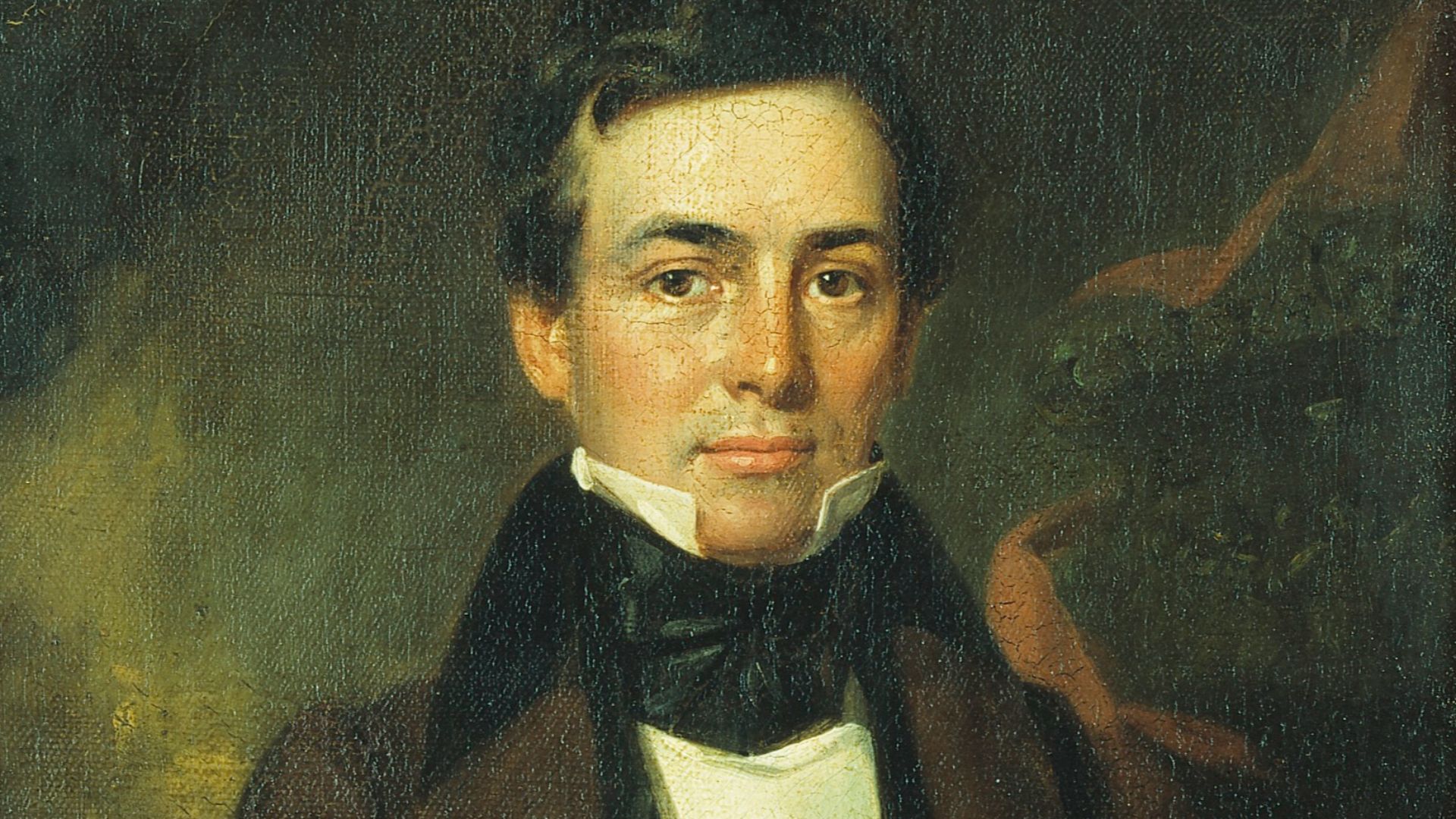
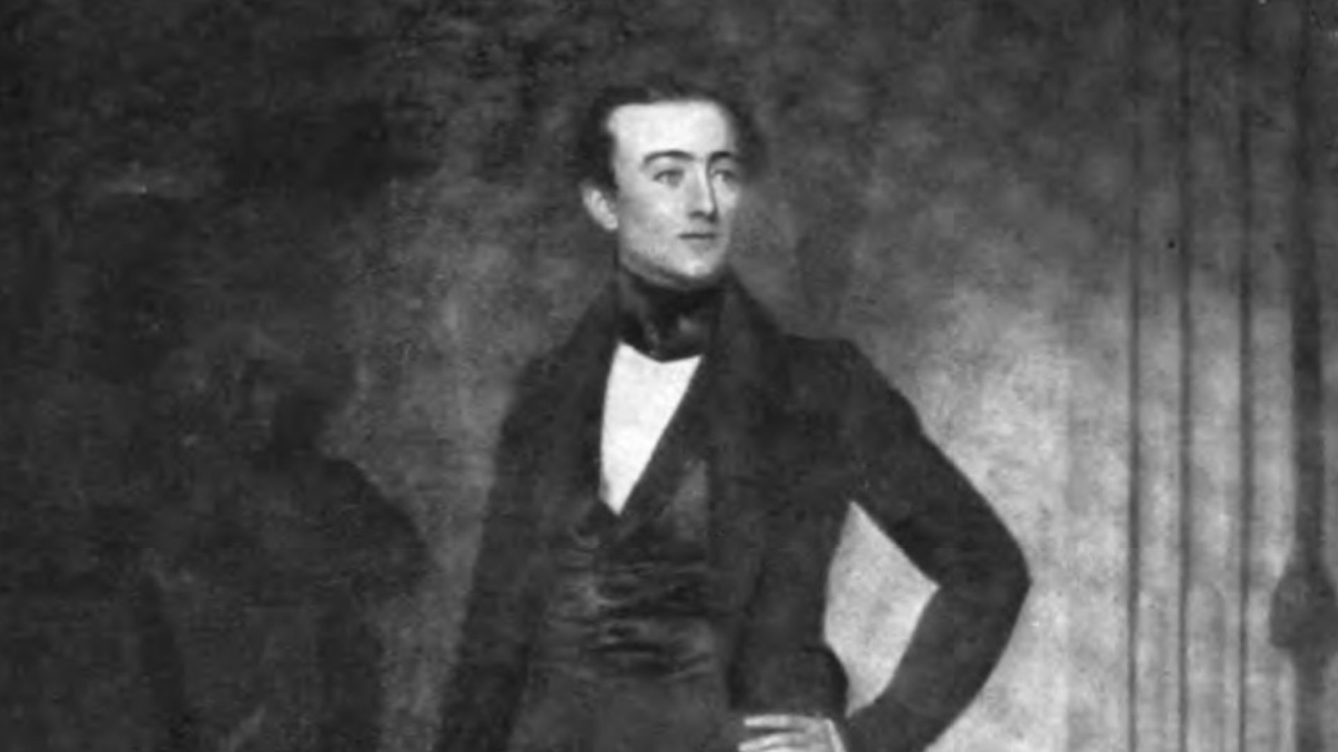
Michigan’s acting territorial governor was Stevens T. Mason, a bold politician in his early twenties. Nicknamed the “Boy Governor,” Mason had little interest in backing down. He argued that Michigan had both the law and geography on its side, even if Ohio possessed more influence in Congress.
 Thomas Mickell Burnham, Wikimedia Commons
Michigan Passed A Tough Law
In February 1835, Michigan passed the Pains and Penalties Act. It threatened fines and imprisonment for anyone exercising Ohio’s authority inside the Toledo Strip. The law was aimed directly at Ohio officials, surveyors, judges, and sheriffs. Suddenly, the border dispute came with the possibility of being arrested.
 Unknown authorUnknown author, Wikimedia Commons
Ohio Created Lucas County
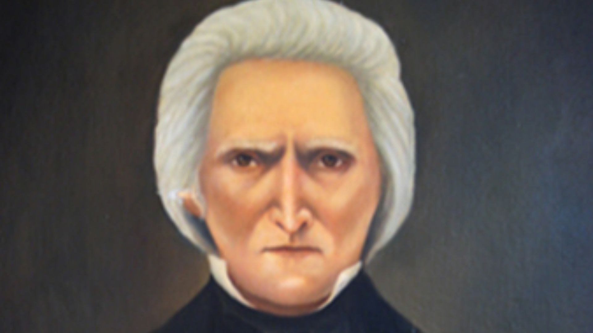
Ohio Governor Robert Lucas responded with his own display of authority. Ohio extended its counties into the Strip and later created Lucas County, naming it after the governor himself. The message was hardly subtle: Ohio considered Toledo its property, and it intended to govern the area openly.
 John Henry Witt, Wikimedia Commons
Both Sides Called The Militia
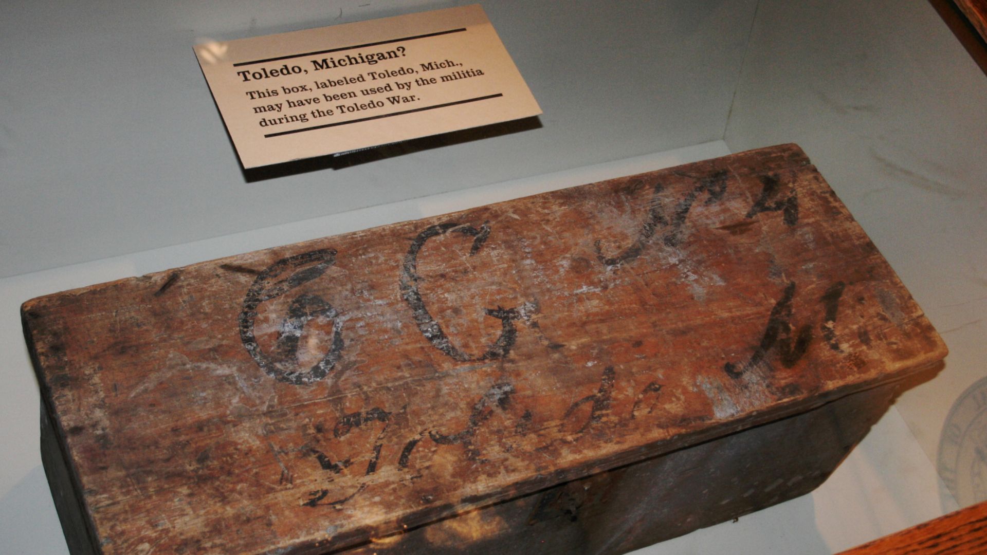
By the spring of 1835, political posturing had become military posturing. Mason called out Michigan’s militia, while Lucas ordered Ohio’s forces to prepare. Armed volunteers gathered near the border, drilled in camps, and waited for something to happen. Fortunately, most seemed more interested in intimidation than battle.
 Unknown authorUnknown author, Wikimedia Commons
The Battle Of Phillips Corners
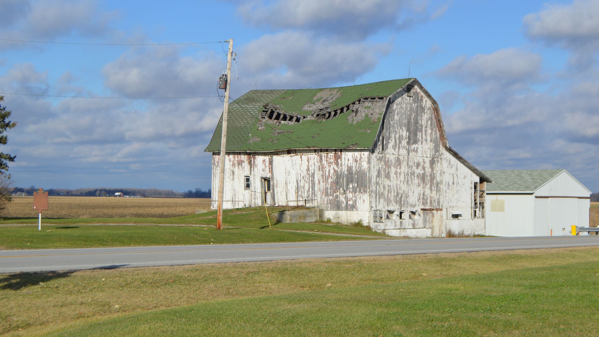
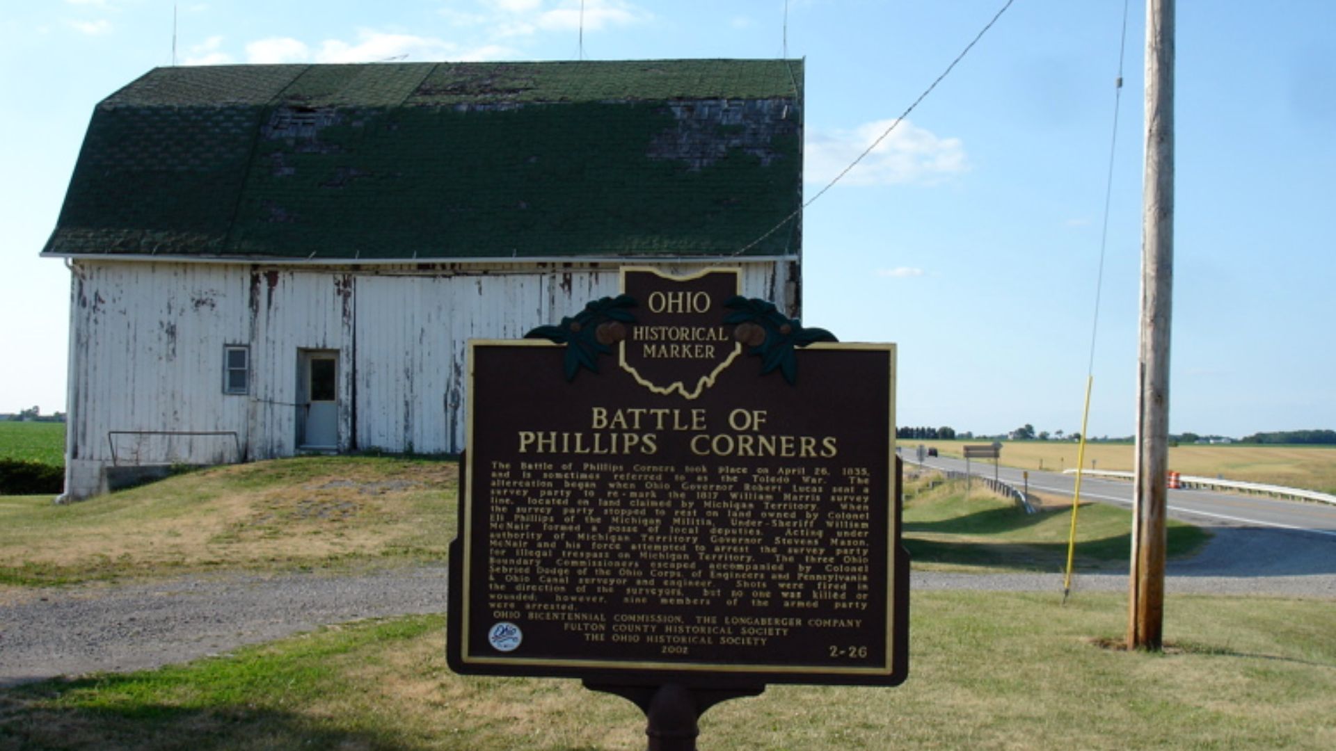
The conflict’s most famous “battle” occurred on April 26, 1835. Michigan militiamen confronted an Ohio surveying party near Phillips Corners. They fired warning shots over the surveyors’ heads, sending several fleeing into the woods. Nine men were captured, but nobody was seriously injured.
 Jeff Shannon, Wikimedia Commons
Michigan Made Arrests
Michigan officials repeatedly entered Toledo to arrest people accused of supporting Ohio’s government. Local judges, sheriffs, and political figures sometimes found themselves hiding from posses. At one point, reports claimed an Ohio flag was pulled down, dragged through the streets, and burned. The drama was becoming difficult to control.
History's most fascinating stories and darkest secrets, delivered to your inbox daily.
Two Stickney Drew Blood
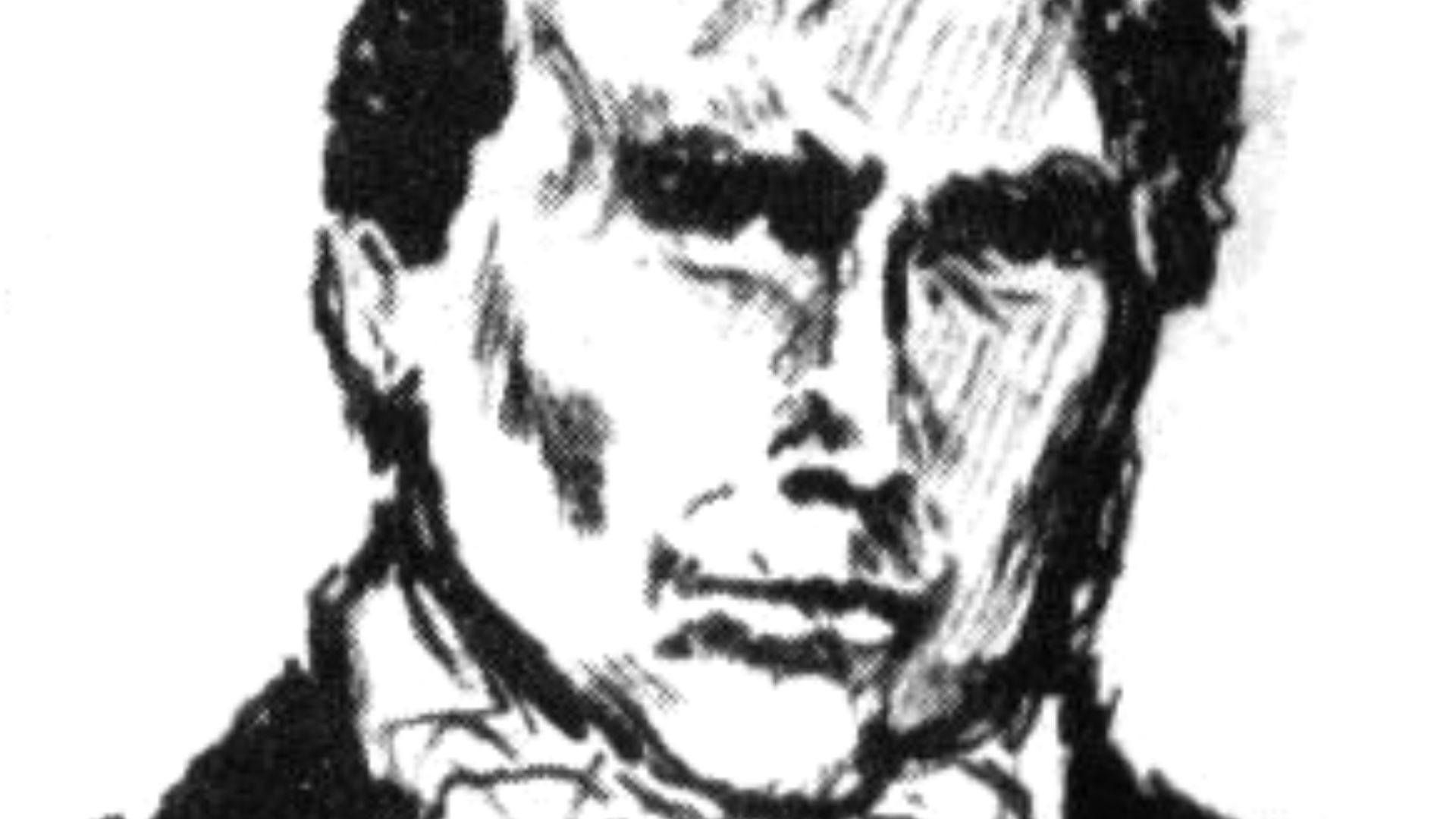
The Toledo War’s only significant injury came during an attempted arrest. A Michigan sheriff named Joseph Wood tried to detain an Ohio supporter known as Two Stickney. During the struggle, Stickney stabbed Wood with a small penknife. Wood survived, but the incident gave the mostly bloodless war its lone casualty.
The Spending Contest Began
Ohio authorised hundreds of thousands of dollars for military expenses. Michigan responded by approving slightly more. The competing budgets were another form of chest-thumping, as each government tried to appear tougher than the other. Luckily, neither side’s impressive financial commitment produced an impressive battlefield performance.
Washington Tried To Calm Everyone
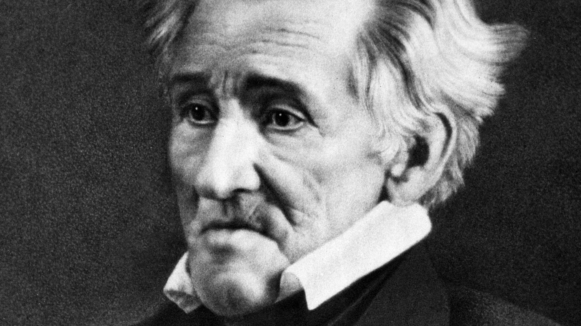
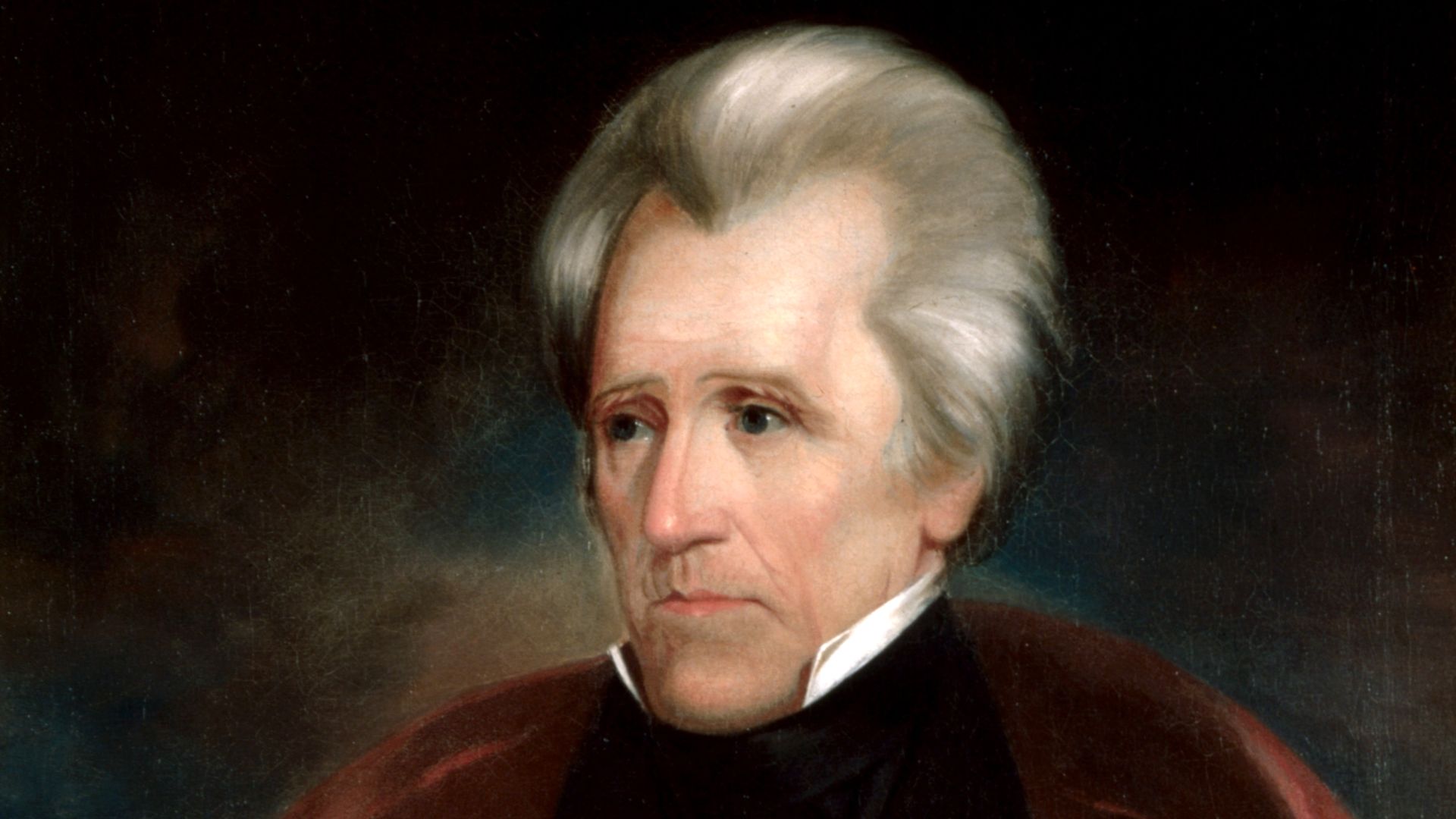
President Andrew Jackson sent representatives to negotiate a settlement. They suggested temporarily allowing Ohio to re-mark its preferred border while residents continued living under Michigan’s government. The proposal might have created breathing room, but neither Governor Lucas nor Governor Mason trusted the other side enough to compromise.
 Mathew Benjamin Brady, Wikimedia Commons
Ohio Held A Secret Court
Ohio planned to hold a court session in Toledo to demonstrate legal control. Mason sent militia forces to prevent it. Ohio officials cleverly arrived early, conducted a brief court session before dawn, completed the necessary paperwork, and quietly escaped before Michigan’s men could arrest them.
 Albert Ruger, Wikimedia Commons
Mason Lost His Job
Jackson finally decided that Mason was making the crisis worse. The president removed him as territorial governor and replaced him with the more cooperative John Horner. Michiganders were outraged by the decision. They soon elected Mason governor under the state government they were creating without federal approval.
 Ralph Eleaser Whiteside Earl, Wikimedia Commons
Michigan Acted Like A State
Even though Congress had not admitted it to the Union, Michigan drafted a constitution and elected state officials. Its residents believed they had met the normal requirements for statehood. Washington disagreed, insisting that the Toledo boundary had to be resolved before Michigan could officially join the country.
History's most fascinating stories and darkest secrets, delivered to your inbox daily.
Congress Offered A Trade
Congress eventually proposed a bargain. Michigan would give up the Toledo Strip and accept Ohio’s preferred boundary. In return, it would receive statehood and a large section of the Upper Peninsula. Many Michiganders thought the offer was insulting, since the distant northern territory seemed cold, remote, and nearly worthless.
 US Census, Ruhrfisch, Wikimedia Commons
The Frostbitten Convention
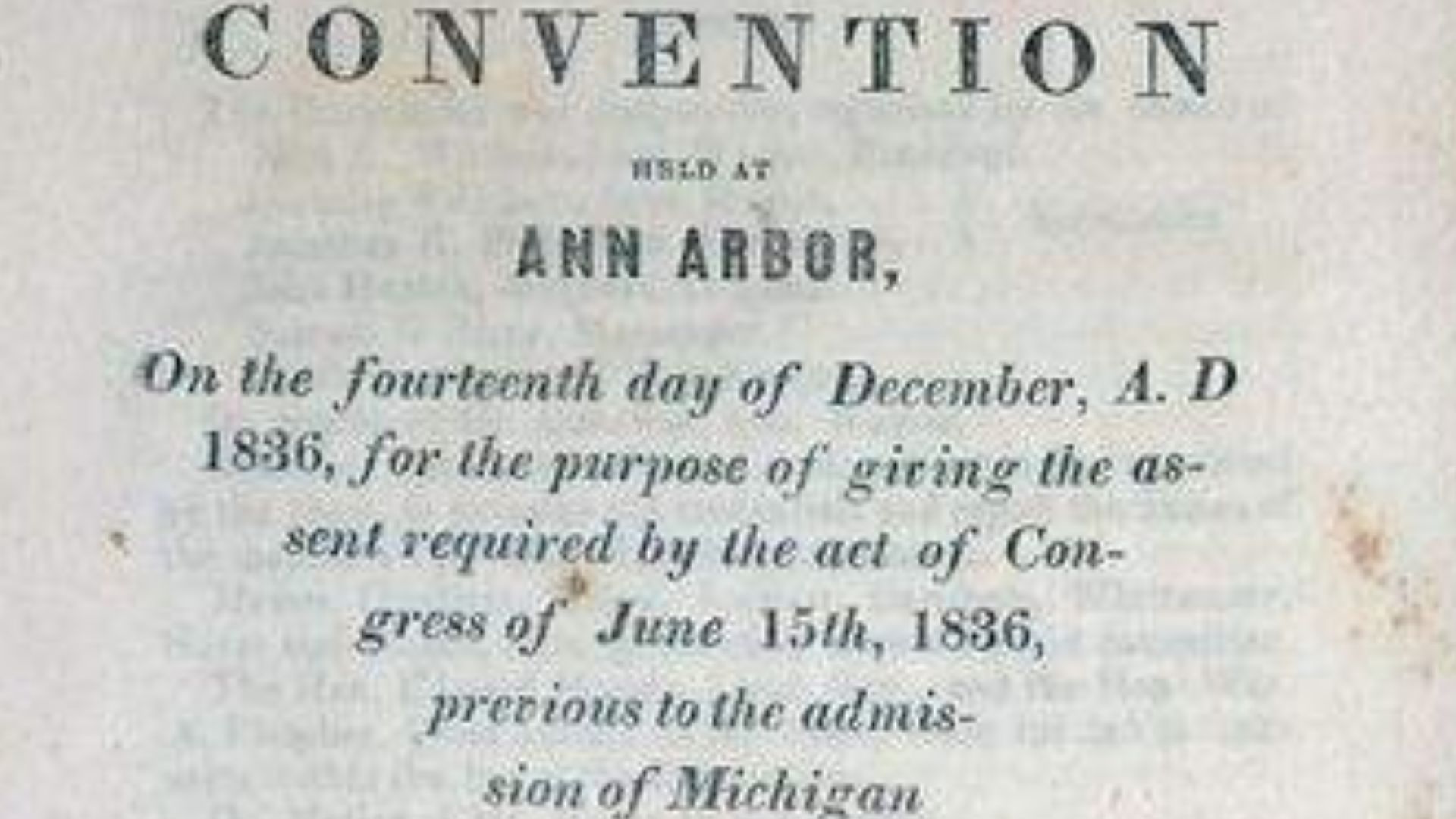
Michigan’s first convention rejected the compromise. But the territory badly needed federal recognition and access to money distributed by Washington. A second gathering met in Ann Arbor in December 1836. Mockingly called the Frostbitten Convention, it accepted Congress’s offer despite questions about how properly it had been organised.
 Unknown authorUnknown author, Wikimedia Commons
Michigan Finally Became A State
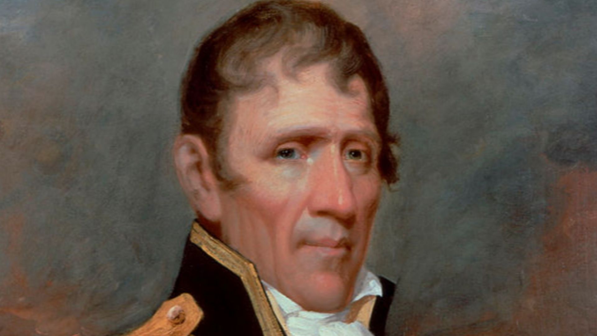
President Jackson signed the bill admitting Michigan as the 26th state on January 26, 1837. Ohio kept Toledo and the valuable Maumee River outlet. Michigan received most of the Upper Peninsula. Officially, the Toledo War was finished, although neither side felt entirely graceful about the result.
 John Wesley Jarvis, Wikimedia Commons
Michigan’s Consolation Prize Paid Off
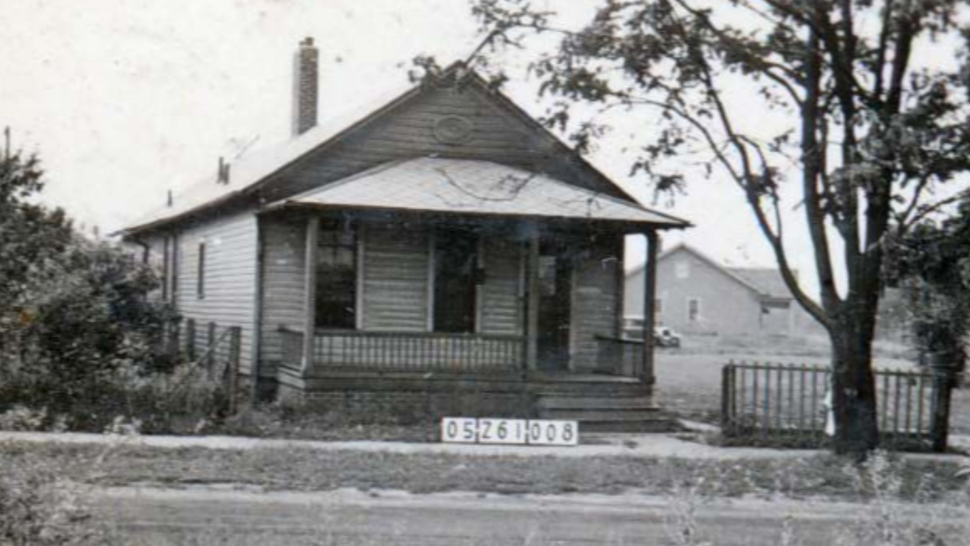
Michigan’s unwanted northern land turned out to contain enormous supplies of timber, copper, and iron ore. Those resources later became extremely valuable. Ohio had won Toledo, but Michigan’s supposedly terrible consolation prize was hardly a defeat. In the long run, both sides gained something worth keeping.
 Lucas County (Ohio). Auditor's Office, Wikimedia Commons
The Rivalry Never Disappeared
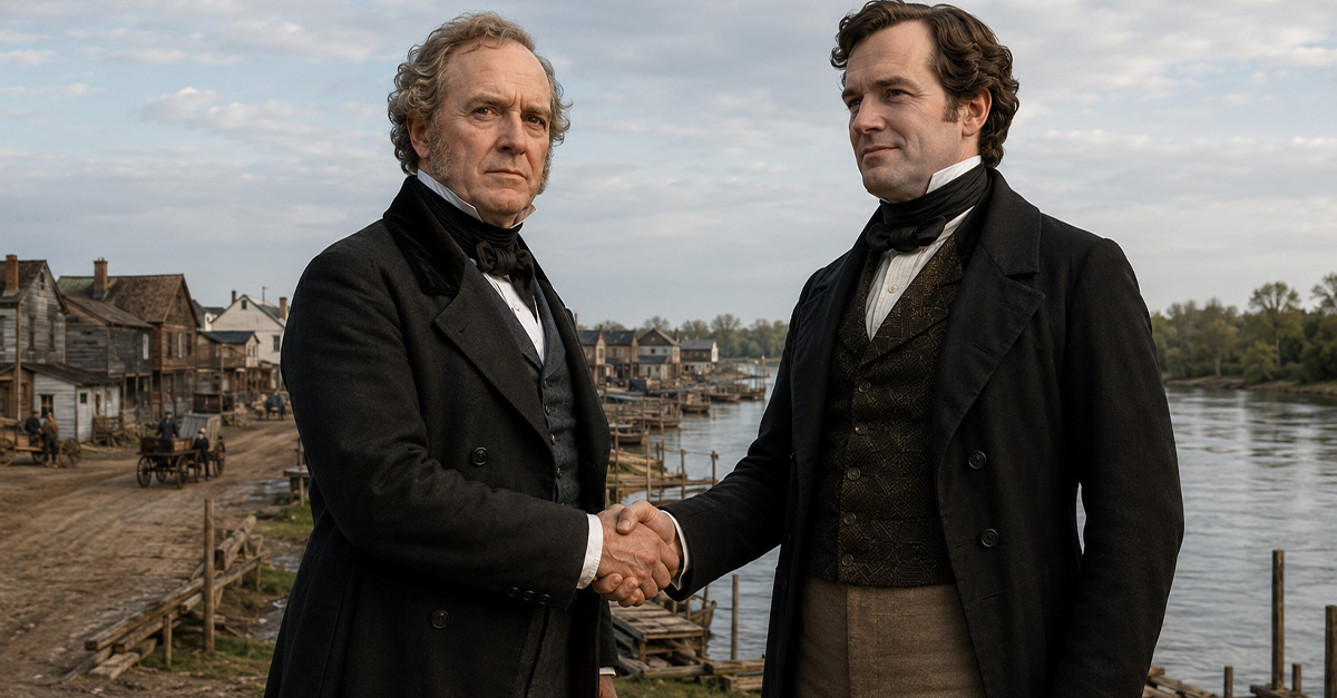
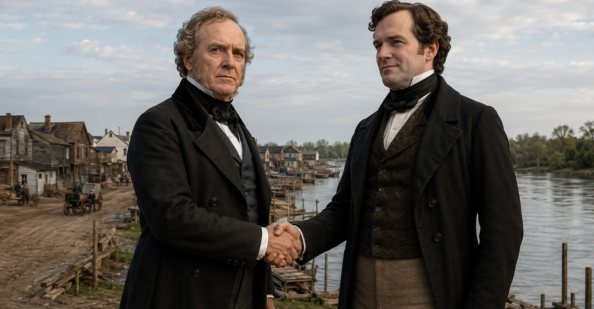
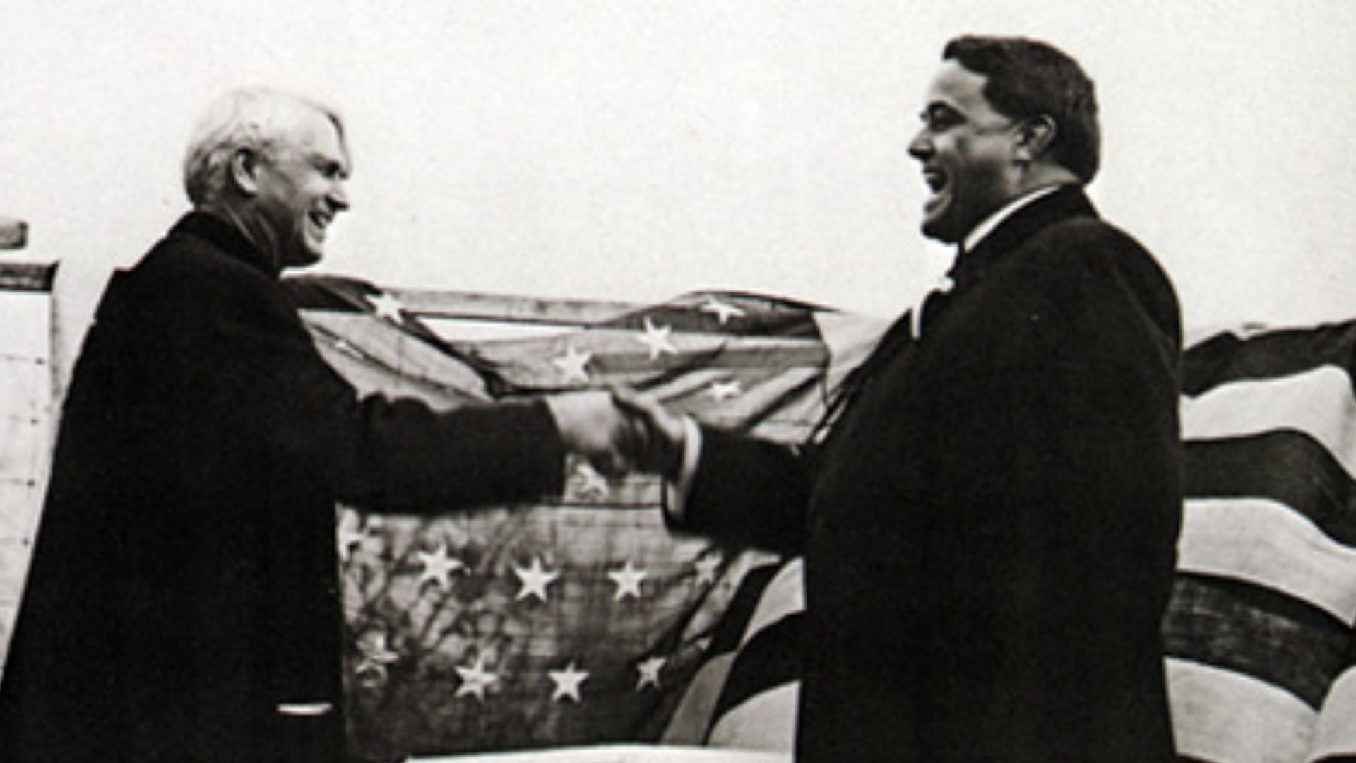
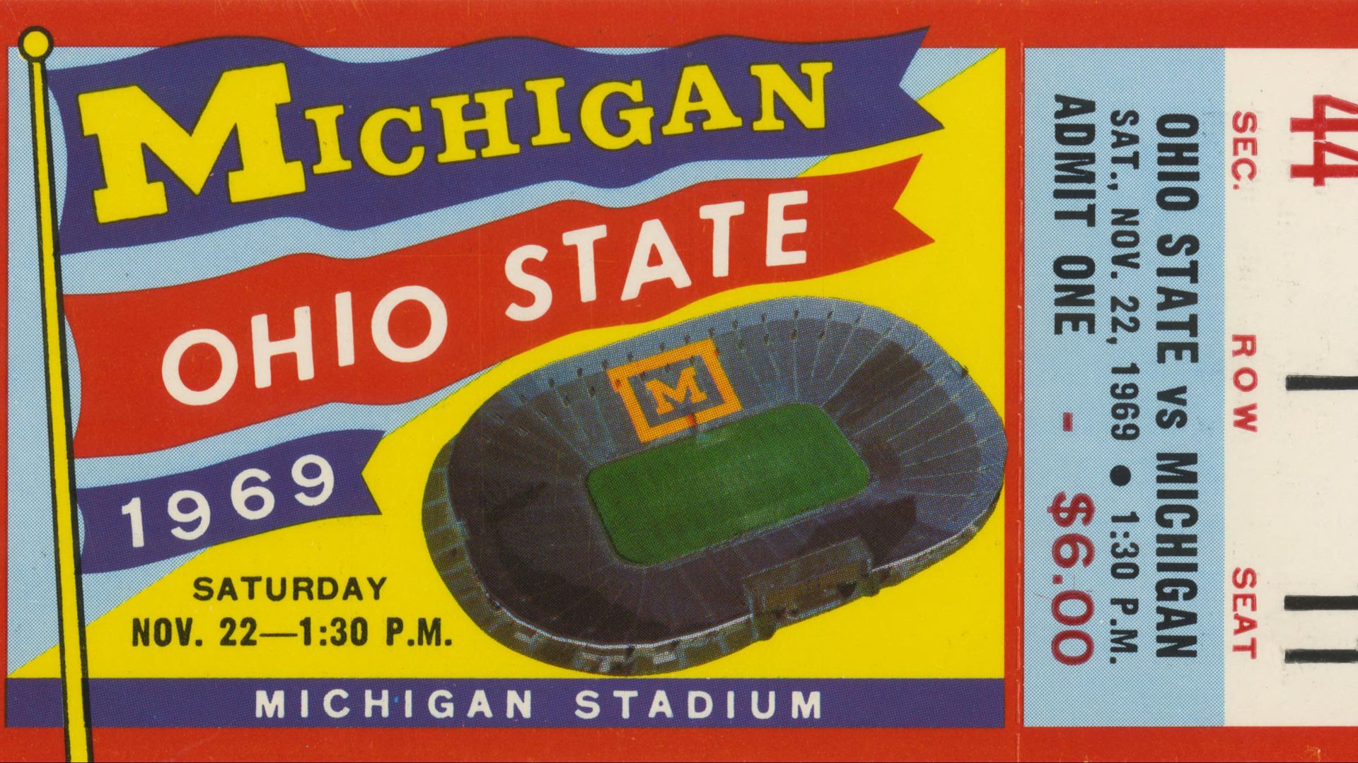
Questions about the exact border continued until a new survey settled the land boundary in 1915. The governors of Ohio and Michigan marked the occasion by shaking hands across the line. Today, the old hostility survives mainly through jokes, local pride, and the Michigan–Ohio State football rivalry.
 University of Michigan. Athletic Dept., Wikimedia Commons
A War Caused By Geography
The Toledo War featured militias, arrests, warning shots, secret courts, and one unfortunate penknife. Yet it began with something far less dramatic: an inaccurate map. Ohio kept Toledo, Michigan gained mineral-rich territory, and America received one of its strangest reminders that even a badly drawn line can cause serious trouble.
You May Also Like:
Solo Travel: How To Make The Journey Alone
A Catholic Nun Just Issued A Warning About Aliens—And It Wasn't What Anyone Expected