 Destination8infinity, Wikimedia Commons, Modified
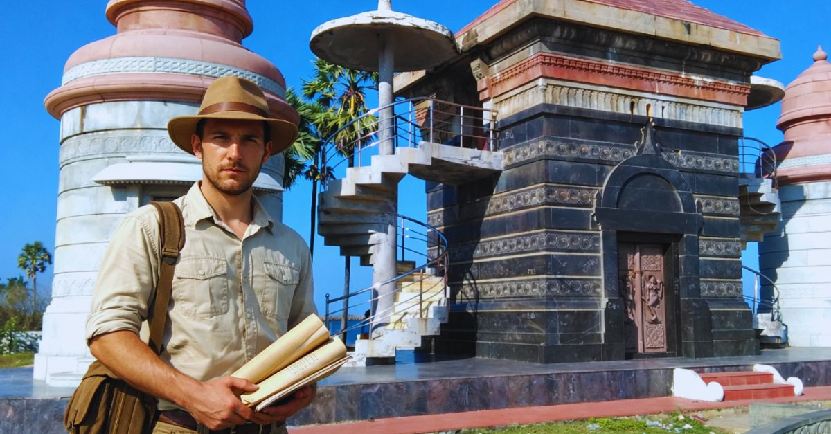
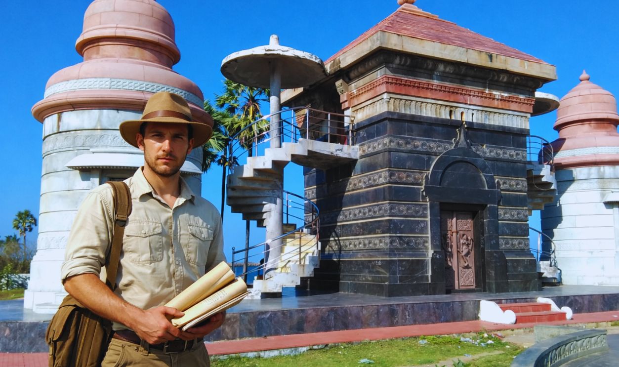
On India’s southeastern coast, where the Cauvery River empties into the Bay of Bengal, archaeologists have resumed work at a site that has lingered unresolved for decades. Poompuhar, also known as Kaveripattinam, served as a major port during the Sangam age and appears repeatedly in early Tamil texts. Portions of the settlement now lie offshore, shaped by river flooding, shifting coastlines, and long-term erosion. After more than 20 years without sustained underwater fieldwork, excavations have restarted. The effort seeks to verify earlier survey findings, document submerged structures, and test how closely archaeological evidence matches historical accounts. What surfaces here may revise assumptions about early Indian port cities.
A Sangam-Age Port City Supported By Texts And Land Finds
Poompuhar occupied a strategic position between inland river traffic and open sea trade from roughly the third century BCE through the early centuries CE. Sangam literature describes it as an organized port city with designated areas for merchants, artisans, and foreign traders. These texts refer to warehouses and markets tied directly to maritime exchange. Such descriptions long suggested an advanced commercial center rather than a small coastal settlement. For historians, these references raised an important question: could literature alone support claims of large-scale port activity without physical evidence?
Land-based archaeology provided partial answers. Excavations conducted since the mid-twentieth century uncovered brick structures, ring wells, pottery fragments, beads, and Roman coins near the modern shoreline. These finds pointed to overseas trade and urban planning consistent with literary accounts. Scholars connected the city to early Chola rulers, whose authority relied in part on maritime commerce. Yet the most debated elements remained offshore. Historical records and geological studies suggested that floods and changes in the Cauvery’s course submerged sections of the city. Underwater surveys in the 1990s reported stone features, but limited equipment prevented firm conclusions, leaving the port’s full extent uncertain.
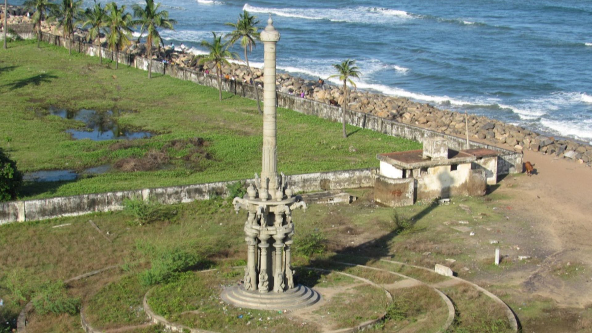 Destination8infinity, Wikimedia Commons
What The Underwater Excavations Are Examining Now
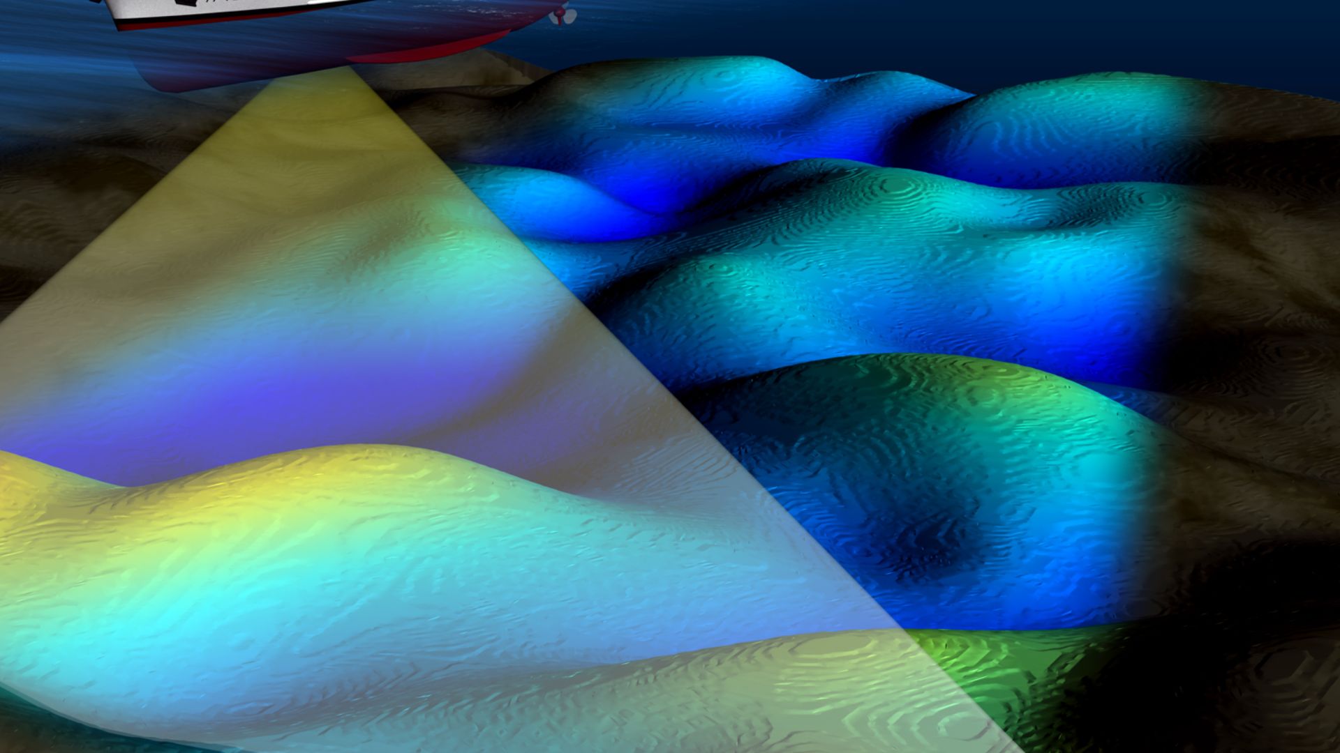
The renewed underwater excavation program is led by the Tamil Nadu Department of Archaeology with support from national marine research agencies. Survey zones lie roughly 1,600 to 3,300 feet from the present shoreline, areas first identified during earlier sonar work. Teams are examining anomalies linked to human construction, including stone alignments, brick-like formations, and linear features buried beneath layers of sand and silt. Officials involved in the project stress documentation and verification rather than rapid recovery. Every phase prioritizes mapping, measurement, and context so interpretations rest on evidence instead of assumption.
Modern technology has changed what is possible. Side-scan sonar maps surface features across the seabed, while sub-bottom profilers detect structures hidden below sediment layers. Precise GPS tracking records the exact location of each feature, allowing patterns to emerge across survey areas. Any recovered material undergoes laboratory testing to determine age, composition, and construction technique. This controlled approach marks a shift from exploratory surveys to systematic excavation. As a result, researchers can assess whether offshore remains relate to harbor installations, flood-management systems, or residential structures associated with the ancient port.
Why Poompuhar’s Offshore Remains Matter Beyond The Region
Areas now under study were first identified during offshore sonar surveys conducted in the 1990s, when researchers noted irregular features on the seabed. Those early findings lacked the resolution needed for firm interpretation, but they established an offshore range that guides current work. Present survey zones fall within that same general area, though exact distances vary with shifting sediments. Archaeologists are documenting stone arrangements, brick-like materials, and linear forms buried beneath sand and silt. Project leaders emphasize careful mapping and contextual recording before attempting interpretation or recovery.
The site also offers insight into how ancient settlements responded to environmental pressure. Geological data collected alongside archaeological material may help explain how flooding, river shifts, and sea-level variation reshaped coastal cities over time. Those patterns mirror challenges still faced by coastal communities across South Asia today. That information remains relevant today, particularly for modern river-delta regions facing erosion and flooding. For researchers and general readers alike, Poompuhar represents a rare convergence of literature, archaeology, and environmental study. Each verified structure offshore adds clarity to how early port cities operated and eventually changed as coastlines evolved.


