
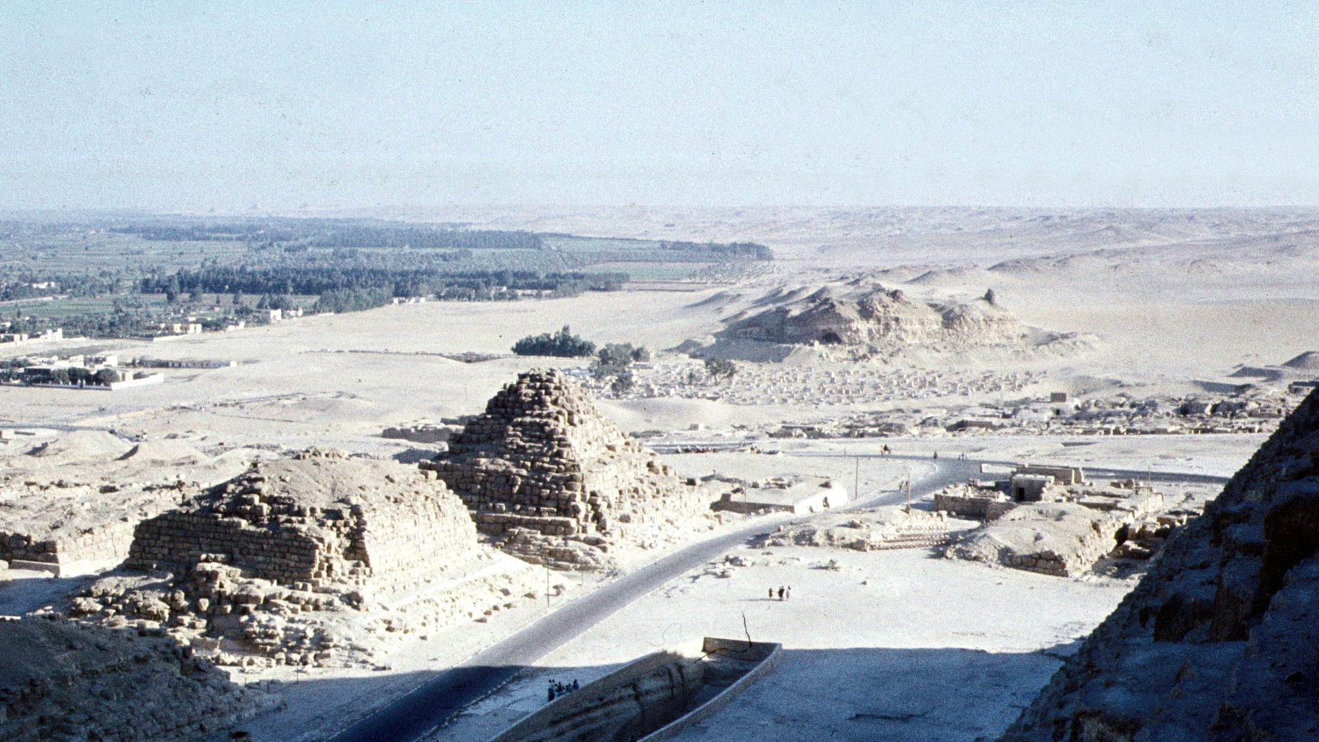
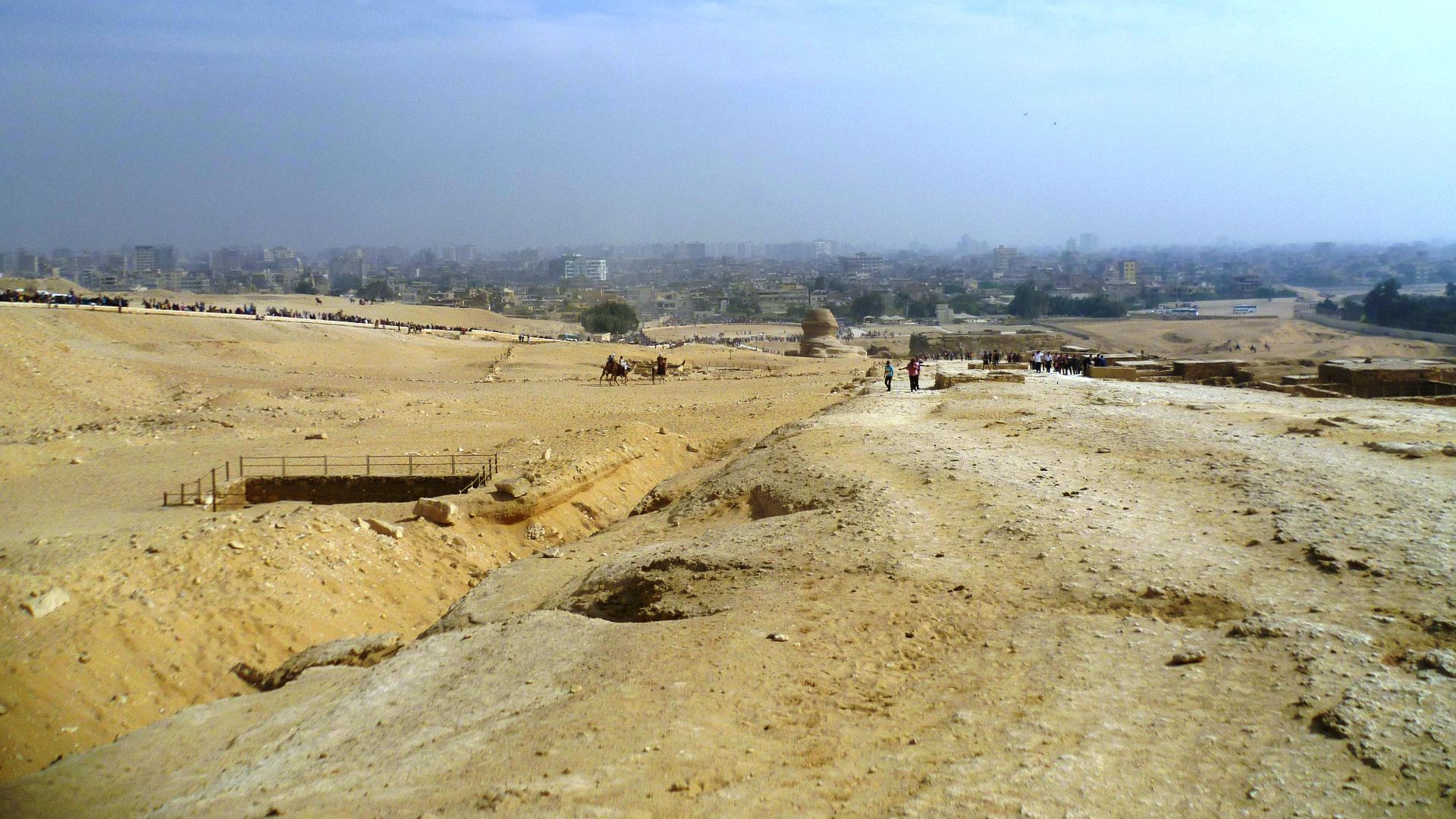
Do vast structures really exist beneath the Giza Plateau?
The Giza Pyramids have survived thousands of years of study, yet a recent radar-based claim suggests something enormous lies far below them. The idea spread quickly, capturing public imagination. A few satellite images could provide an answer.

A Claim That Refuses To Stay Underground
Claims of massive hidden structures beneath Egypt’s Giza Pyramids resurfaced in 2024, driven by radar-based interpretations rather than excavation. The idea sparked attention because it challenges long-standing archaeological understanding and suggests something enormous and unknown may exist far below one of humanity’s most studied archaeological sites.
 Douwe C. van der Zee, Wikimedia Commons
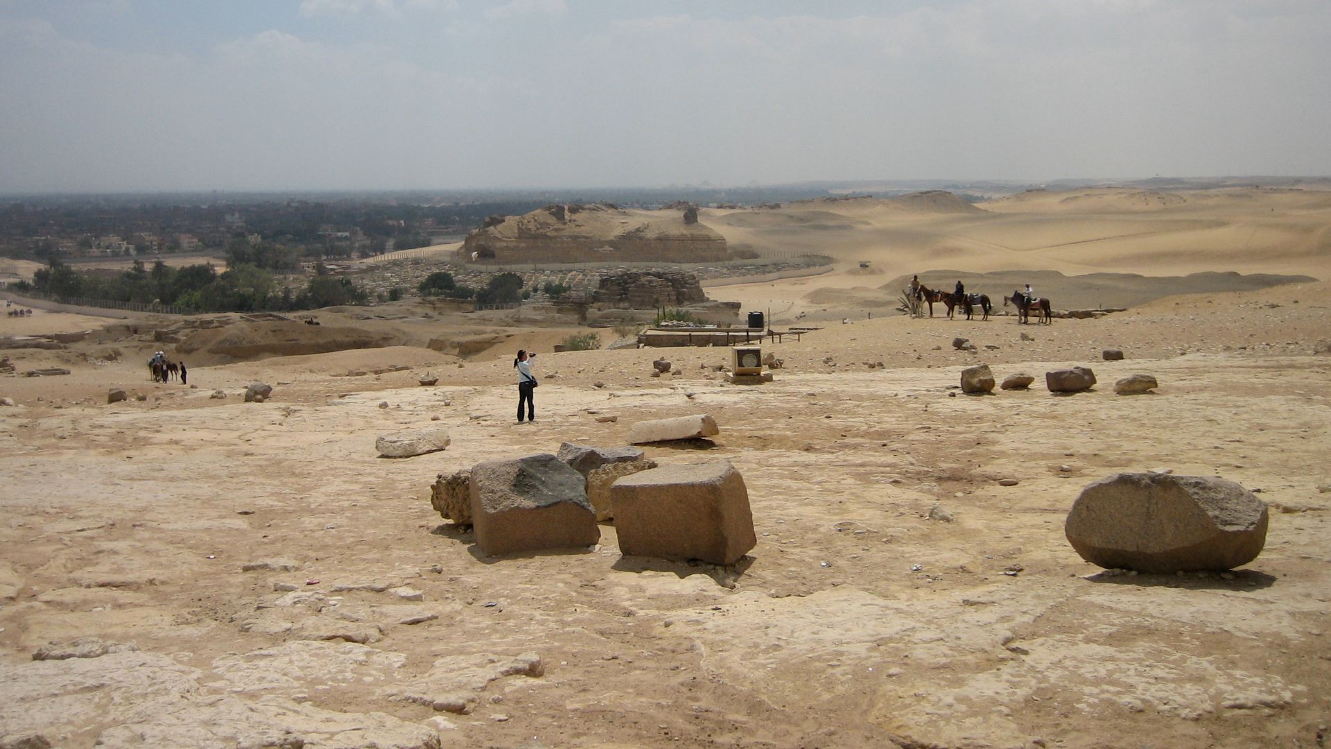
The Giza Plateau Never Stops Raising Questions
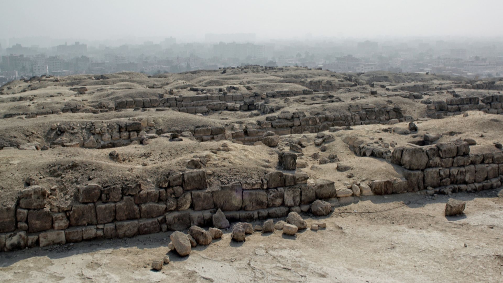
Giza has been excavated and debated for more than two centuries, yet unanswered questions remain. Known tombs and voids coexist with gaps in knowledge. They create fertile ground for new theories, especially when modern technology promises insights that earlier generations could not access.
 Jerome Bon from Paris, France, Wikimedia Commons
And The Internet Took Notice
Public interest spiked after interviews and articles framed the findings as confirmed discoveries rather than preliminary interpretations. Podcasts and headlines amplified the story quickly, reaching audiences far beyond academic circles before peer-reviewed studies or independent verification could evaluate the claims with appropriate scientific scrutiny.

Who Is Filippo Biondi, And Why Did His Voice Carry Weight?
Filippo Biondi is a radar and signal-processing engineer with published academic work on synthetic aperture radar techniques. His background gave the claims initial credibility, especially among non-specialists. However, expertise in radar engineering does not automatically translate to archaeological validation or geological interpretation.
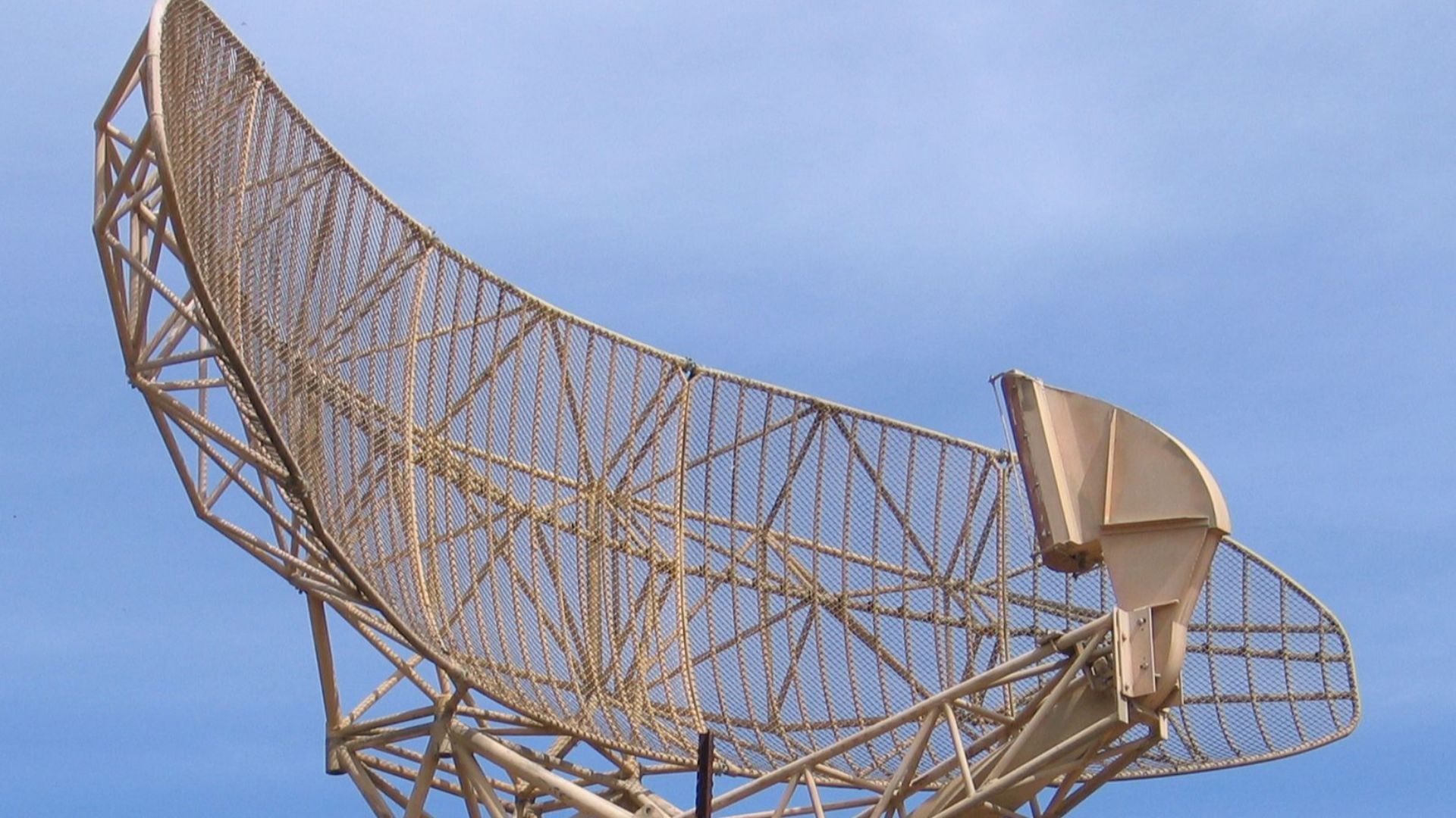
Using A Radar Method Most People Had Never Heard Of
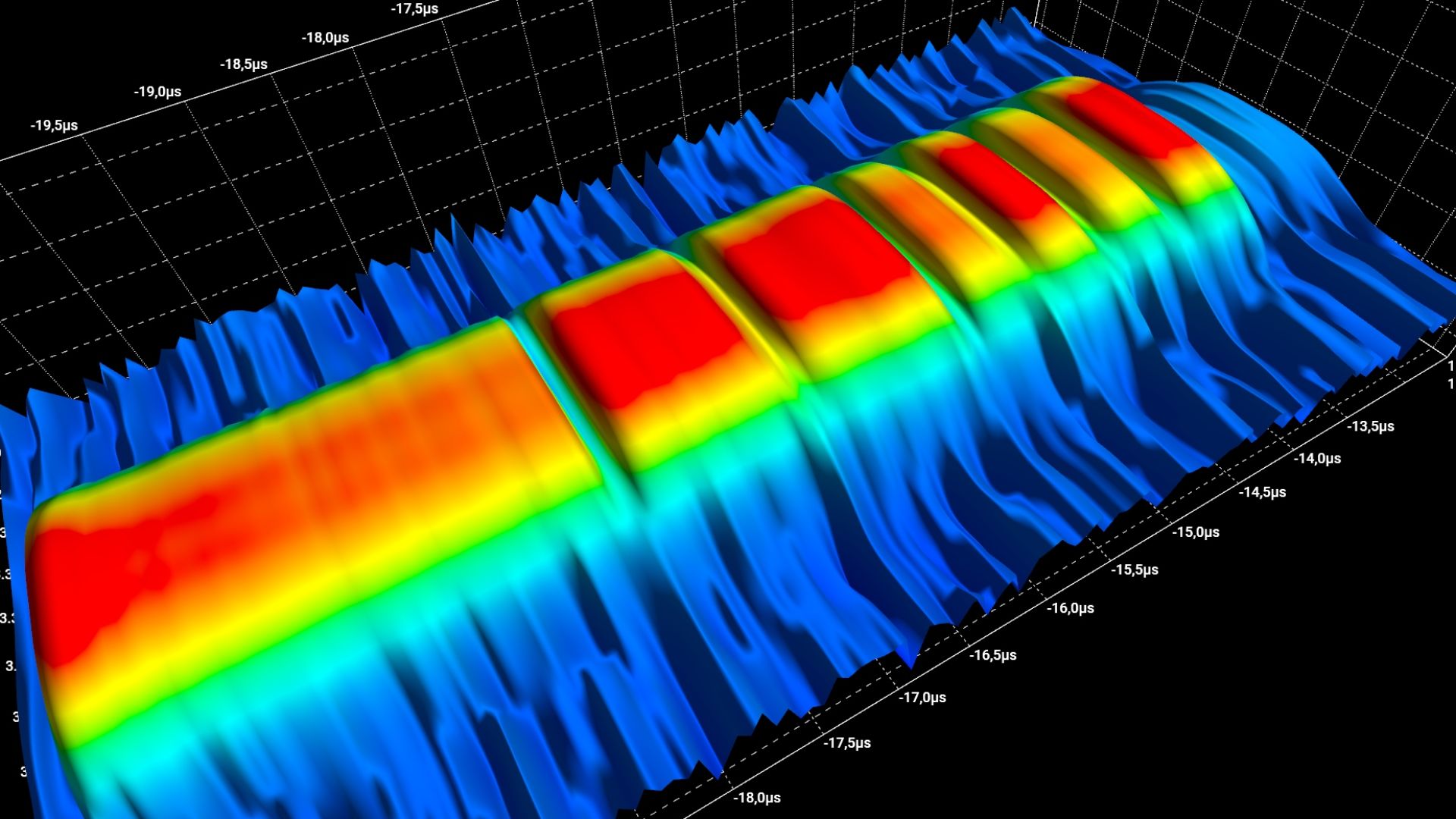
The technique at the center of the debate, synthetic aperture radar Doppler tomography, measures tiny surface movements detected from orbit. While useful for monitoring ground deformation and infrastructure stability, its ability to reconstruct detailed structures deep underground remains a contested and unresolved scientific question.
 Umbra Lab, Inc., Wikimedia Commons
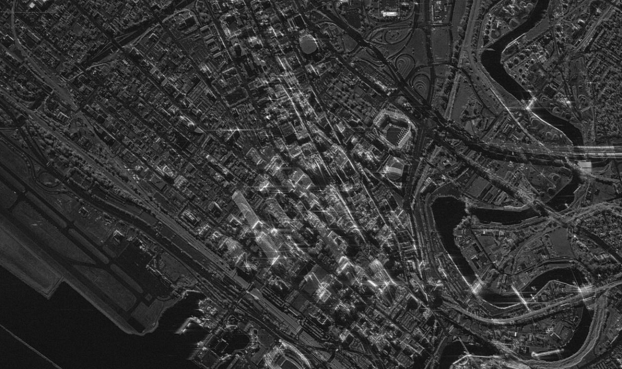
Reading Vibrations From Space
Biondi’s approach assumes underground features influence surface vibrations caused by natural and human activity. Satellites record these subtle motions, which software analyzes for patterns. Critics note that vibrations weaken with depth, making it difficult to extract shape, size, or material information far below the surface.
 Defensie Nederland, Wikimedia Commons
How Doppler Tomography Is Supposed To Work
It combines repeated radar passes with Doppler shift analysis to detect minute motion changes over time. Supporters say these signals can be mathematically reconstructed into three-dimensional forms. Skeptics argue the process depends heavily on assumptions and filtering choices that can significantly shape results overall.
 University of Warwick/C. Manser/ESO, Wikimedia Commons
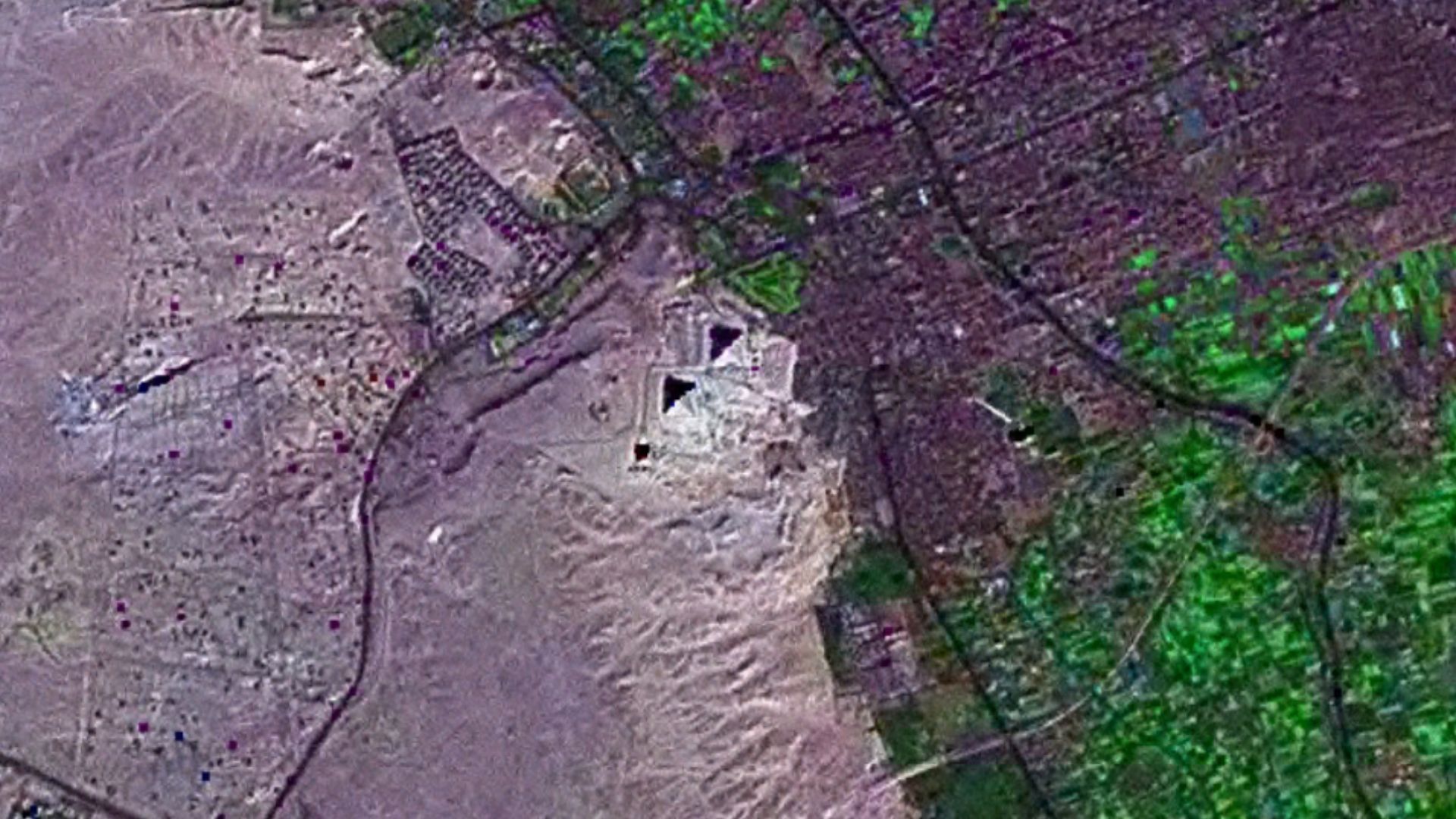
This Is What Satellite Scans Claimed To Show
Biondi’s team interpreted the scans as evidence of eight enormous vertical shafts beneath the Khafre pyramid. These features were described as hollow and deeply buried, extending more than half a mile underground. No excavation or seismic survey has confirmed the existence of structures.
 Mstyslav Chernov, Wikimedia Commons
History's most fascinating stories and darkest secrets, delivered to your inbox daily.
Eight Vertical Shafts Beneath One Pyramid
The notion of eight identical shafts descending beneath a single pyramid raised immediate eyebrows. Structures of that scale would require excavation and engineering control. Archaeologists note no physical evidence or historical records indicating such work occurred during Egypt’s Old Kingdom period.

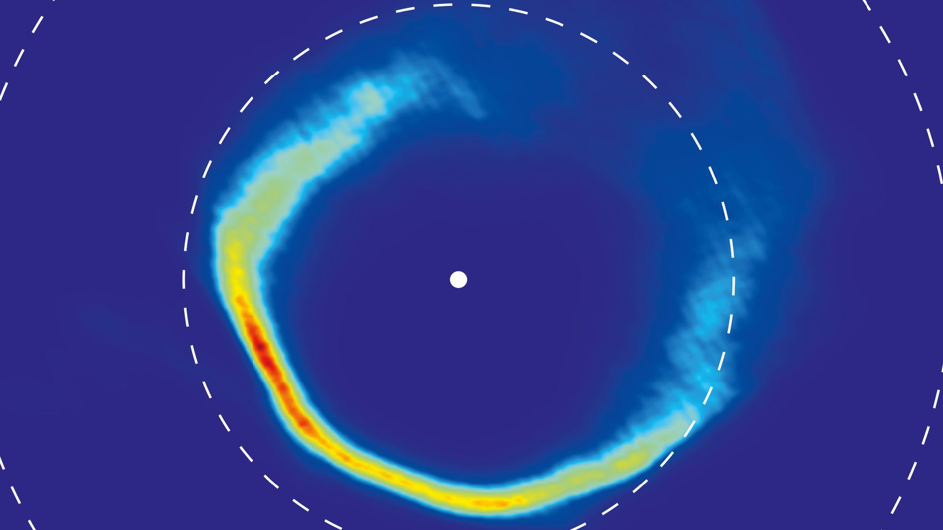
With Spiral Shapes That Sparked Immediate Debate
Spiral or helical forms around each shaft became central to the controversy. Biondi argued that such geometry can’t form naturally. Geologists counter that spiral patterns appear in fractures, mineral growth, and erosion processes, especially when limited data is forced into three-dimensional reconstruction models.
And Chambers That Are Larger Than Modern Sports Arenas
The claimed terminal chambers were described as cubes roughly 260 feet on each side, exceeding the size of most sports arenas. Experts point out that cavities of this scale would dramatically alter local geology and seismic readings, none of which have been documented beneath Giza.
 Gerhard Haubold, Wikimedia Commons
Repeating Geometry Became Central To The Argument
Supporters emphasized the repetition of similar shapes beneath multiple sites and argued that such a coincidence was unlikely. Critics respond that algorithm-driven imaging often produces symmetry when processing noisy signals. In other words, repeated outputs can reflect shared assumptions rather than real structures.
Suggesting An Artificial Origin
Biondi argued that precise symmetry and repeating forms point toward human construction rather than geology. Archaeologists counter that design claims require contextual evidence, such as tools or inscriptions. Geometry alone, especially when derived from indirect sensing, has repeatedly misled past claims of hidden civilizations.
 DouglasFRESH, Wikimedia Commons
When Extraordinary Claims Begin To Strain Physics
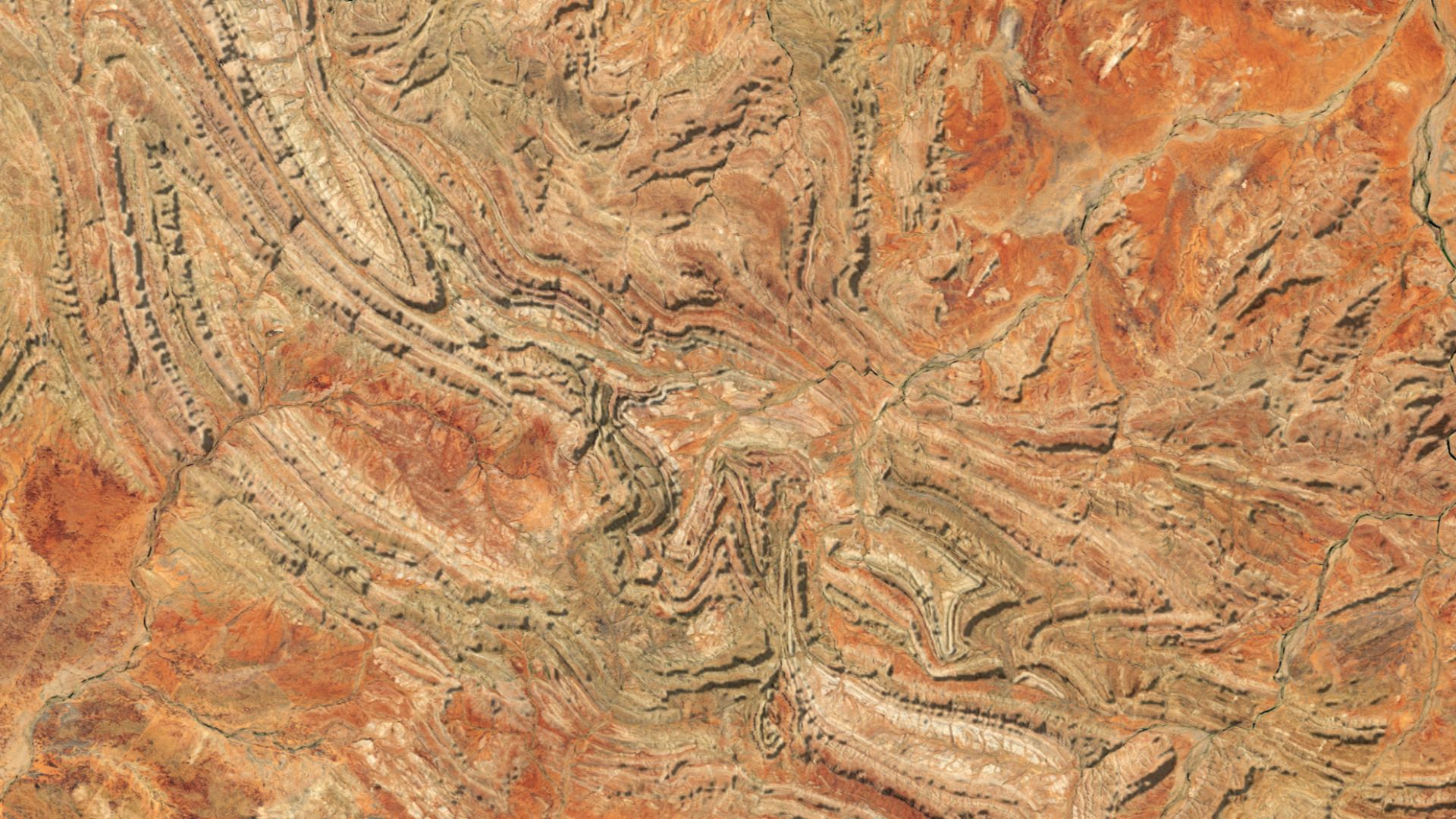
Physicists note that signals capable of resolving sharp edges and hollow chambers can’t survive passage through thousands of feet of dense limestone. At those depths, vibration data becomes smeared and averaged. That limitation challenges interpretations describing clean geometry and architectural detail at that scale alone.
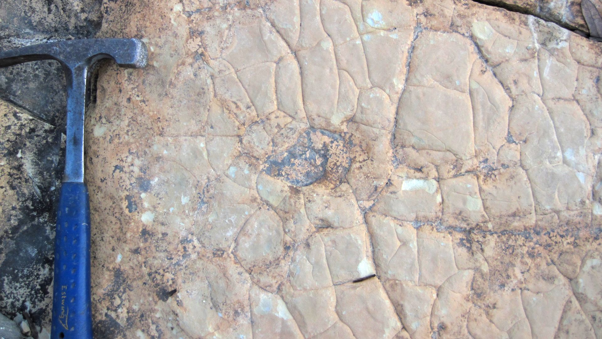 James St. John, Wikimedia Commons
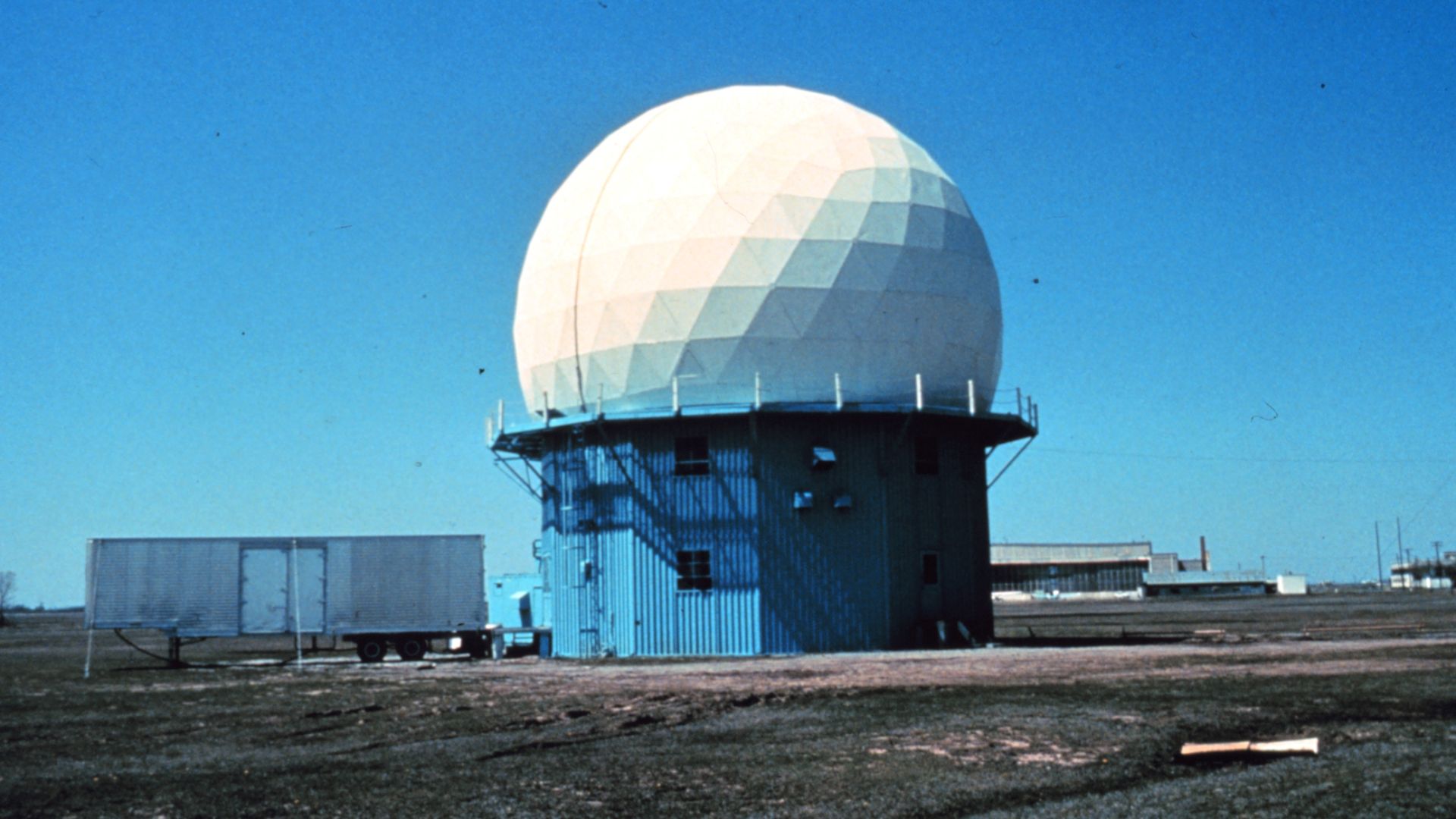
The Real Limits Of Space-Based Radar
Space-based radar excels at mapping surface changes and large terrain features. It was never designed to function like an underground scanner. Specialists emphasize that radar wavelengths and signal decay impose firm boundaries on depth and resolution from orbiting satellites today in practice.

When Data Interpretation Outpaces Measurement
Radar images do not arrive as photographs but as mathematical representations requiring extensive processing. Each assumption influences the outcome. Without independent calibration, models can transform ambiguous signals into convincing shapes, creating confidence that exceeds what the raw data actually supports under rigorous scientific scrutiny standards.
Matching Results Do Not Automatically Mean Proof
Identical outputs from different satellites can appear persuasive, yet they often share similar sensors and processing pipelines. When the same assumptions guide reconstruction, the same artifacts emerge. Confirmation requires independent methods and physical checks.
The Missing Step Of Ground-Level Verification
Extraordinary subsurface claims normally demand seismic surveys or direct inspection. None have occurred at Giza in support of these interpretations. Without physical confirmation, proposed structures remain hypothetical, regardless of how detailed computer-generated images appear to viewers.
How Archaeologists And Geophysicists Responded
Most specialists responded cautiously, emphasizing that archaeology advances through incremental evidence, not sudden leaps. Many noted that Giza has undergone extensive geological study. Features of the scale described would leave unmistakable signatures long before radar interpretation alone revealed them, using independent modern survey techniques available.

With A Sharp Pushback From Egypt’s Authorities
Egypt’s antiquities officials rejected the claims soon after they spread, stating no approved research supports the existence of vast underground structures at Giza. Authorities emphasized that all legitimate work on the plateau requires oversight, and no excavation or survey has verified the proposed findings.

Comparing These Claims To Established Discoveries
Real breakthroughs at Giza, such as hidden voids inside the Great Pyramid, emerged through peer-reviewed studies using muon detection and were cautiously announced. Those discoveries involved limited spaces within known structures, not kilometer-deep complexes.
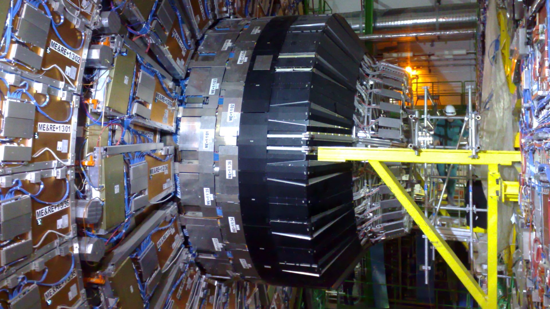
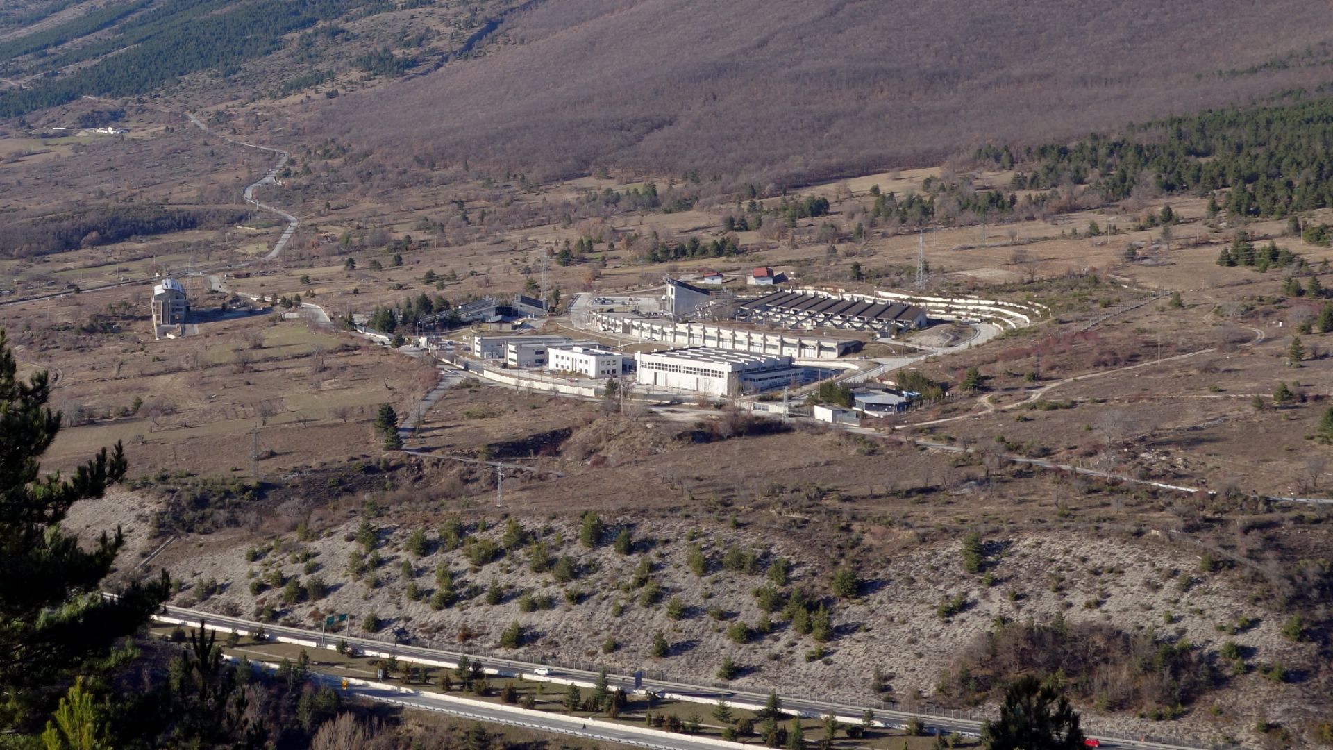
Why Gran Sasso Is Not A Clean Comparison
Supporters often cite the successful imaging of Italy’s Gran Sasso laboratory, a known and relatively shallow facility. Scientists caution that detecting a mapped void inside a mountain differs greatly from identifying unknown, deeply buried structures beneath layered limestone with no prior geological markers.
But Big Mysteries Gain Momentum Online
Once dramatic claims reach podcasts and headlines, repetition can replace verification. Visual reconstructions and confident language encourage belief before scrutiny. Without malicious intent, complex technical debates often simplify into certainty online, where skepticism struggles to travel as quickly as striking imagery and bold conclusions.

What Still Lies Beneath Giza Remains Uncertain
Despite centuries of study, parts of the Giza Plateau remain unexplored. Unknown features may still exist at modest depths. For now, evidence supports cautious curiosity rather than hidden megastructures. It reminds audiences that unanswered questions do not automatically confirm extraordinary explanations.
 Radoslaw Botev, Wikimedia Commons


