 xiquinhosilva, Wikimedia Commons, Modified
Water leaves a memory in the land. Even after thousands of years, it lingers as faint ridges and subtle curves that only catch the eye under the right light. For decades, the ancient water system surrounding China’s Liangzhu civilization hid in plain sight, its outlines blurred by floods and time. Archaeologists knew something vast once existed there. The challenge was proving where, how, and how much. That puzzle has taken a sharp turn. Recent research shows how machine learning can spot traces of ancient dams and hydraulic features long dismissed as natural terrain. By scanning decades-old aerial images, these tools reveal patterns the human eye often misses after hours in the field. What once looked like ordinary farmland now reads as evidence of deliberate engineering and long-term planning.
When Earthworks Blend Into The Hills
The Liangzhu civilization, active roughly 5,300 years ago, is already recognized as one of East Asia’s earliest complex societies. Its survival depended on controlling seasonal floods across a low-lying river plain. Archaeological surveys over the last century identified several massive dams, some stretching up to 16,400 feet long and rising over 115 feet high. Yet experts suspected many more structures existed beyond the well-known sites. The problem was visibility. After millennia of erosion and modern land use, ancient dams often resemble gentle hills or field boundaries. On foot, even trained archaeologists can walk straight past them without noticing.
That is where historical imagery becomes critical. Aerial photographs captured the landscape before modern development erased key features. The study analyzed these images using machine learning models trained to recognize the subtle shapes associated with ancient dams. Unlike the human eye, which tires or second-guesses, the algorithm scanned thousands of acres with steady consistency. As a result, researchers identified numerous previously undocumented hydraulic features, expanding the known system far beyond earlier estimates. This broader map reshapes how experts understand the scale and ambition behind Liangzhu’s flood-control strategy.
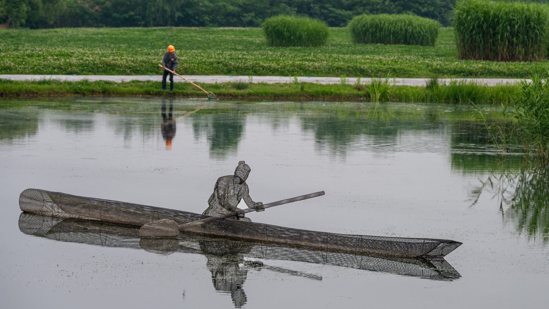 xiquinhosilva, Wikimedia Commons
Teaching Machines To Spot Human Hands
Detecting ancient infrastructure is not as simple as circling straight lines on a photo. Natural ridges and landslides can mimic human-built forms. To avoid false positives, the research team tested several machine learning approaches, including Random Forest classifiers and deep-learning object detection models. The most effective was an optimized version of YOLOv11, a system originally developed for rapid image recognition tasks like identifying cars or buildings. What made this approach work was careful tuning. The model was trained using confirmed Liangzhu dam locations, learning their proportions and relationships to waterways.
Attention modules were added so the system could focus on meaningful features rather than visual noise. The result was a detection accuracy hovering between 65% and 68% for both recall and precision. Traditional survey methods often miss more than half of such subtle features, especially across large areas. This progress does not sideline human expertise. Instead, it reshapes the workflow. Archaeologists can now focus fieldwork on high-probability sites flagged by the model, which saves months of labor and funding. The technology acts as a filter that narrows the search while preserving scholarly judgment.
A Blueprint For Future Archaeology
The implications stretch well beyond Liangzhu. Ancient water systems exist across the globe, from Mesopotamian canals to pre-Columbian reservoirs in the Americas. Many remain undiscovered because their outlines have softened. This research offers a scalable method for finding them without disturbing the ground. Once identified, sites can be protected before construction or agriculture causes irreversible damage. Several facts stand out. First, the study confirms that Liangzhu’s water network was far more extensive than previously mapped. Second, it proves that machine learning can handle imperfect, grainy historical imagery—something long viewed as a limitation. Third, it demonstrates that speed does not have to come at the expense of accuracy.
From there, the conversation shifts naturally to stewardship. Cultural heritage agencies face shrinking budgets and expanding threats from urban growth and climate change. Tools like this allow smarter prioritization. They also invite collaboration across disciplines by blending archaeology, computer science, and environmental studies. That mix is no longer optional. It is quickly becoming standard practice. For those interested in how technology quietly reshapes historical understanding, this work offers a clear takeaway: the ground beneath still holds stories. With the right tools, those stories can surface again.


.jpg)