
 Marina Zvada, Unsplash, Modified
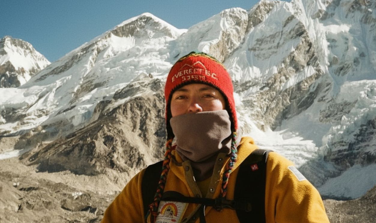
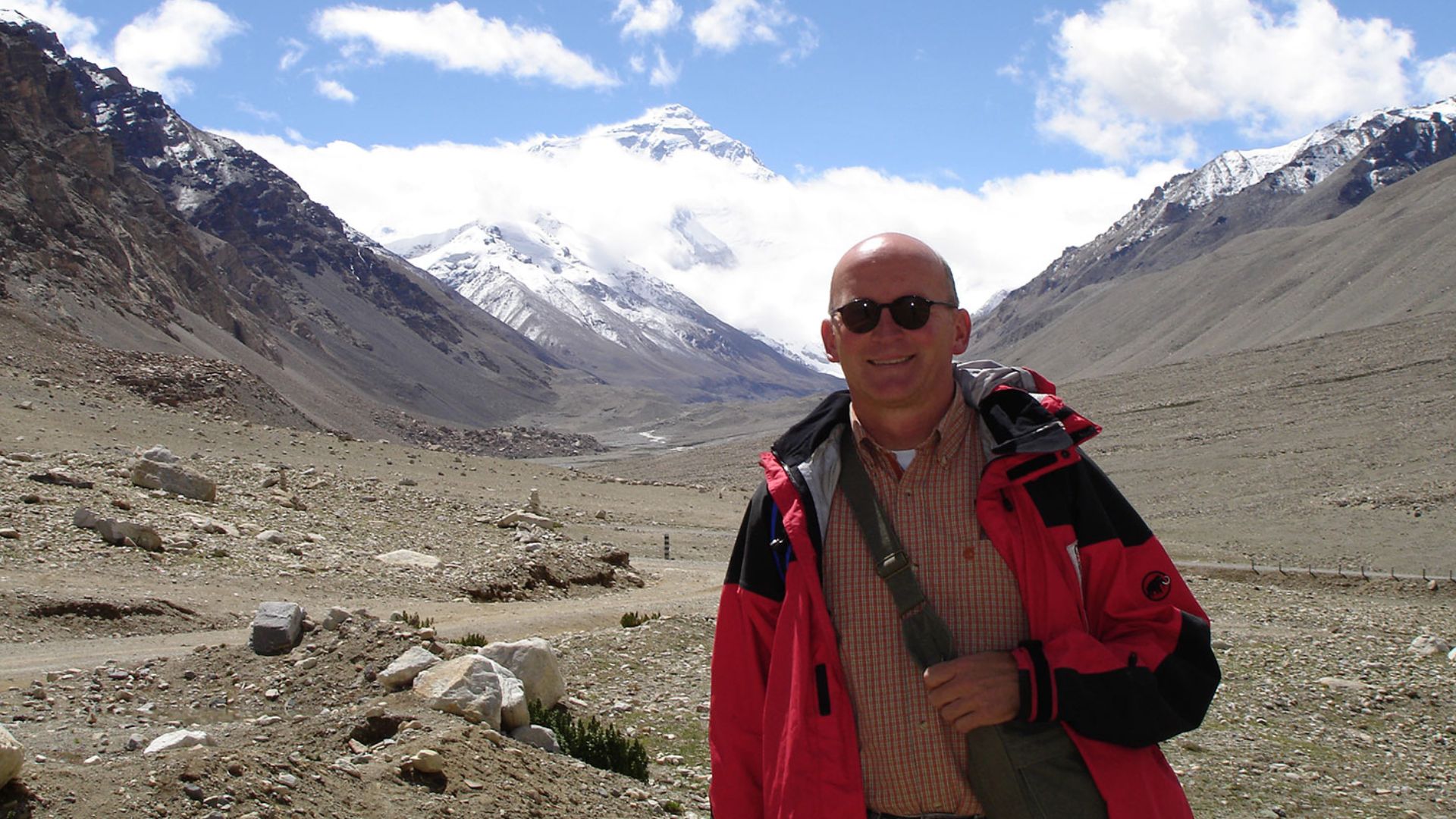
Mount Everest dominates geography books and trivia nights as Earth's tallest mountain, standing at an impressive 29,032 feet above sea level. That number gets drilled into our heads from elementary school onwards, cementing Everest's reputation as the undisputed king of peaks. The reality behind mountain measurement tells a more complicated and frankly more interesting story, though. When you measure from the actual base to the summit instead of arbitrarily using sea level as your starting point, Hawaii's Mauna Kea becomes the real champion at over 33,000 feet tall, a full 4,000 feet taller. It turns out that measurement standards and storytelling shape the facts we accept as absolute truth.
The Hidden Giant Beneath The Pacific Ocean
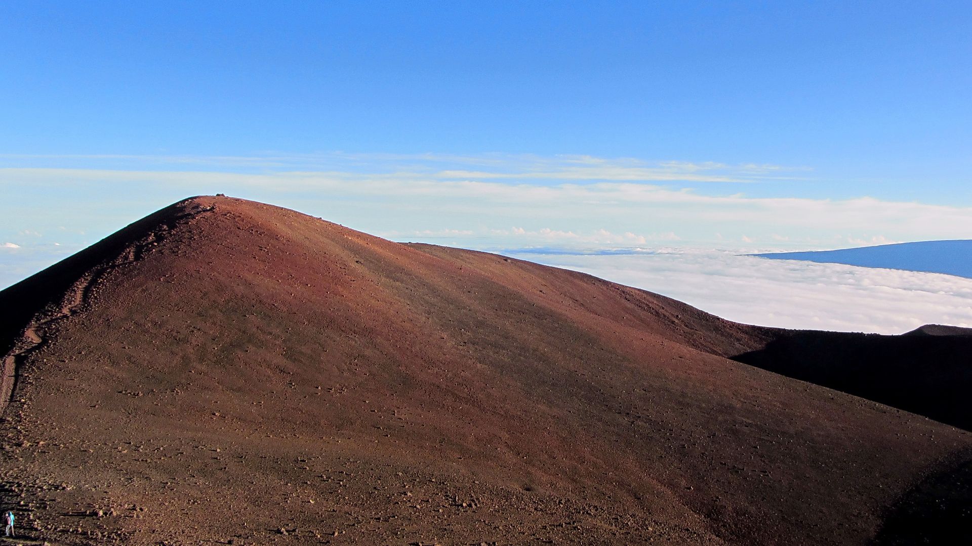
Most of Mauna Kea's incredible height stays completely invisible to anyone standing on Hawaiian beaches or hiking its slopes. The mountain's true base rests roughly 19,700 feet below the Pacific Ocean's surface. Only about 13,800 feet of this massive structure pokes above the waves, which is the portion tourists photograph and scientists build telescopes on. Visitors to Hawaii's Big Island see a modest‑looking peak covered in volcanic rock and observatory domes that seem almost humble compared to the dramatic, snow‑covered Himalayan ranges plastered across adventure documentaries. What they're missing is the absolutely massive hidden foundation supporting everything visible above water, stretching silently across the ocean floor.
Mauna Kea rose from the ocean floor through millions of years of volcanic eruptions that happened in cycles. Hot magma pushed through cracks in the seafloor, cooled when it hit frigid ocean water, and hardened into rock. Layer after layer of cooled lava built this enormous structure straight up from the bottom of the Pacific. The sheer amount of molten rock and geological force required to create something this huge is genuinely mind-blowing when you pause to consider it. That process created one continuous mountain structure that happens to cross the waterline, but the water doesn't magically erase the thousands of feet of mountain sitting below it.
 Bob Linsdell, Wikimedia Commons
Why Everest Gets The Crown In Most Conversations
Mount Everest sits atop the Tibetan Plateau, which already starts at around 14,000 feet in elevation before the mountain even begins. That's like joining a height competition while standing on a stage that gives you a huge head start over everyone else standing at ground level. The mountain itself rises approximately 15,000 feet from its base to summit, but because that base sits so incredibly high already, the peak reaches that record‑breaking 29,032‑foot altitude. This elevation creates the brutal conditions Everest is famous for—thin air that barely contains enough oxygen to keep climbers conscious, temperatures that drop to deadly levels, and weather patterns that can turn fatal in minutes. Beyond the raw numbers, Everest’s visibility in maps, textbooks, and global media reinforces its crown, ensuring generations grow up equating “highest mountain” with Everest rather than Mauna Kea’s hidden bulk beneath the Pacific.
Understanding What "Tallest" Really Means
The confusion exists because two completely valid measurement methods answer different questions about mountain height. Geologists measuring total mountain structure from actual bottom to top would crown Mauna Kea as the planet's most massive single mountain feature without hesitation. However, mountaineers and geographers measuring elevation above sea level rightfully give Everest the title of the highest point on Earth's surface. Nobody's arguing against that distinction because it accurately describes which mountain peak sits furthest from sea level. Both measurements reveal important truths about these mountains.
 Friedl Nussbaumer, Wikimedia Commons
Why Measurement Standards Matter Beyond Mountains
The Everest versus Mauna Kea debate highlights how measurement standards shape more than geography trivia. Aviation relies on sea‑level elevation to calculate safe flight paths and ensure safety. Weather forecasting depends on altitude zones to track storms accurately and predict their movement. Rescue teams use elevation above sea level to determine helicopter limits, operational range, and emergency response strategies. In each case, the chosen measurement system directly affects safety, planning, and decision‑making. Mountains simply illustrate a bigger truth: the way we define “height” or “tallest” isn’t arbitrary—it’s a practical choice that influences science, navigation, engineering, technology, and everyday life worldwide.