Paddling Through Time
There were no footprints across Siberia's frozen land bridge. The real journey happened on water. Stone tools buried in Idaho and footprints pressed into New Mexico mud tell a radically different story.

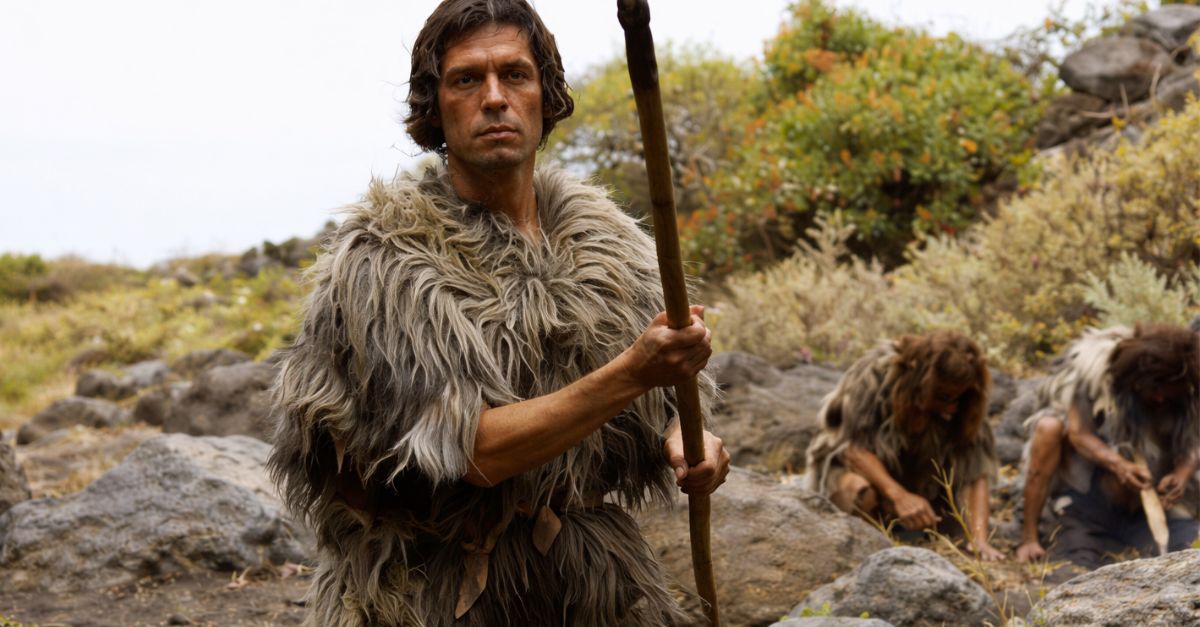
Clovis First
For nearly a century, American archaeology had what seemed like a settled answer. The Clovis people, named after distinctive spear points discovered in New Mexico in 1933, were considered the continent's original inhabitants. These masterful hunters arrived around 13,000 years ago.
 Anthonywpark, Wikimedia Commons
Bering Bridge
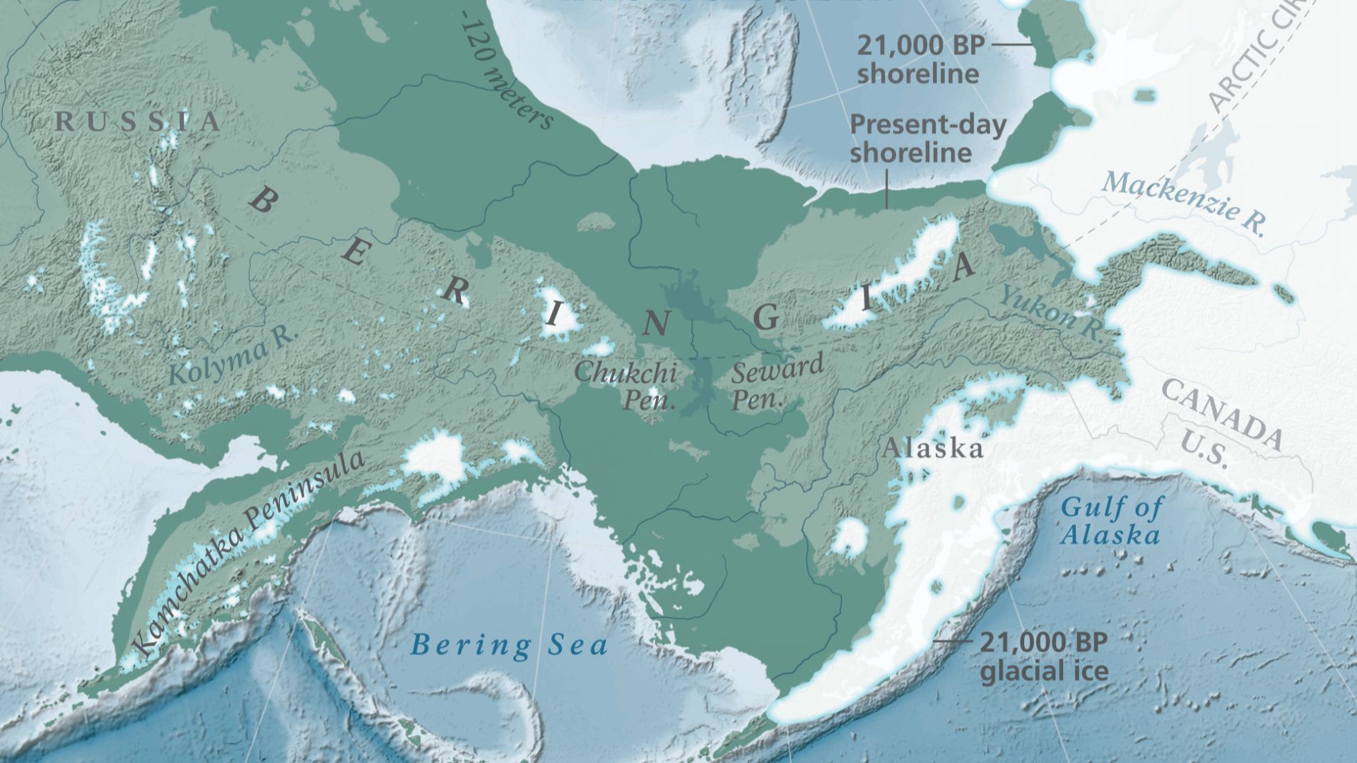
It is said that during the last ice age, Earth's water became trapped in massive glaciers, causing ocean levels to plummet roughly 400 feet below today's mark. This dramatic drop exposed Beringia, a vast landmass stretching over 1,000 miles wide between modern-day Siberia and Alaska.
 Ralph Jones, Wikimedia Commons
Ice Corridor
Two colossal ice sheets—the Laurentide covering eastern Canada and the Cordilleran blanketing the western mountains—dominated the Ice Age area like frozen titans. According to the traditional narrative, these glaciers eventually retreated enough to create a narrow passageway between them. The ice-free corridor opened near present-day Alberta and Saskatchewan.
 April S. Dalton, Chris R. Stokes, Christine L. Batchelor, Wikimedia Commons
13,000 Years
The Clovis culture emerged across North America with remarkable uniformity around 13,000 years ago, leaving behind its technological signature. Their distinctive tools appeared from coast to coast. Fluted spear points were designed for taking down Ice Age megafauna like mammoths and mastodons.
 Tim Evanson, Wikimedia Commons
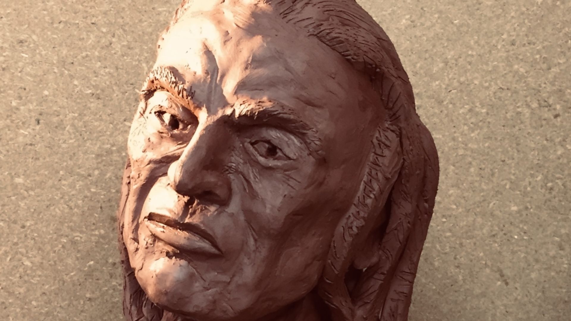
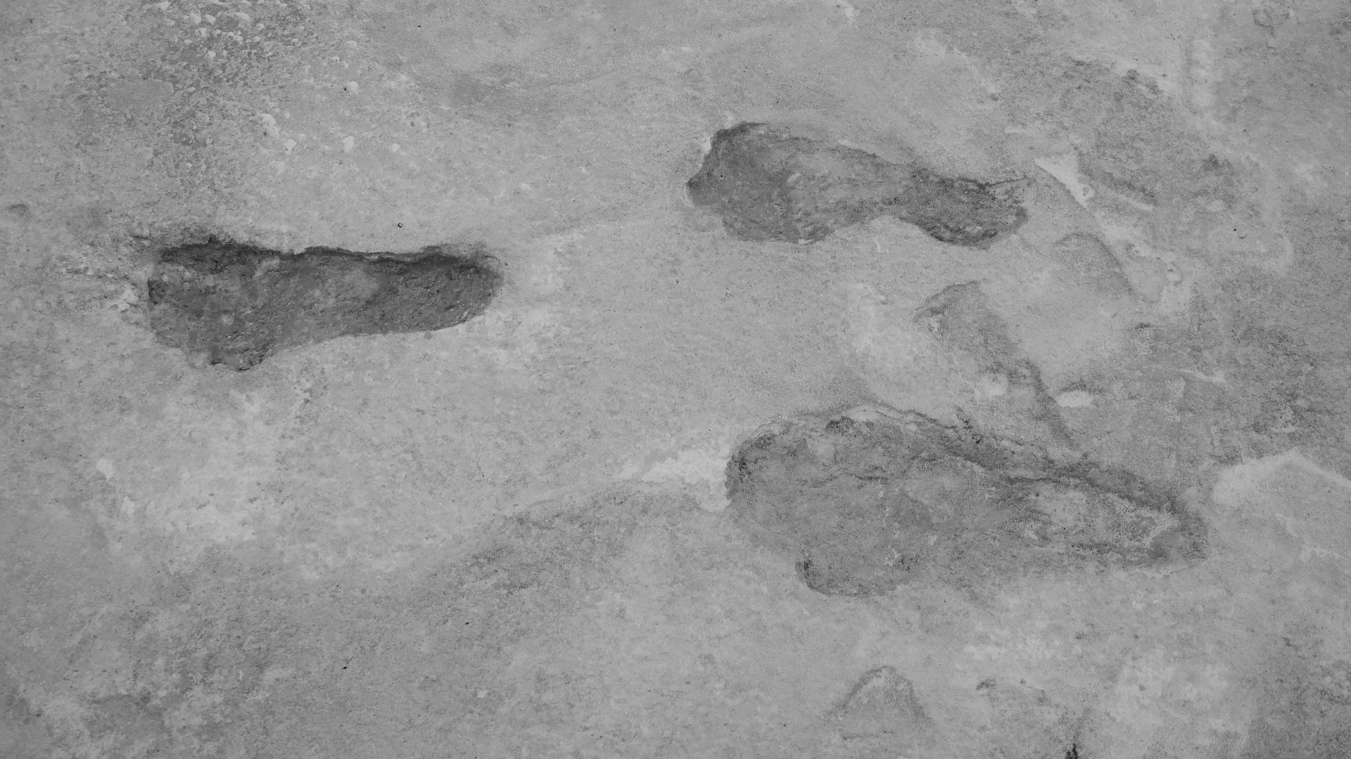
White Sands
Ancient human footprints frozen in time at White Sands National Park in New Mexico shattered established timelines with stunning clarity. These weren't mere impressions but detailed tracks showing toe pads, heel strikes, and medial arches—barefoot humans walking across mudflats beside an Ice Age lake called Lake Otero.
23,000 Years
Initial radiocarbon dating of Ruppia cirrhosa seeds embedded within the White Sands footprints produced shocking results: between 21,000 and 23,000 years old. This pushed human presence in North America back a full 10,000 years before the accepted timeline. The scientific community erupted in debate.
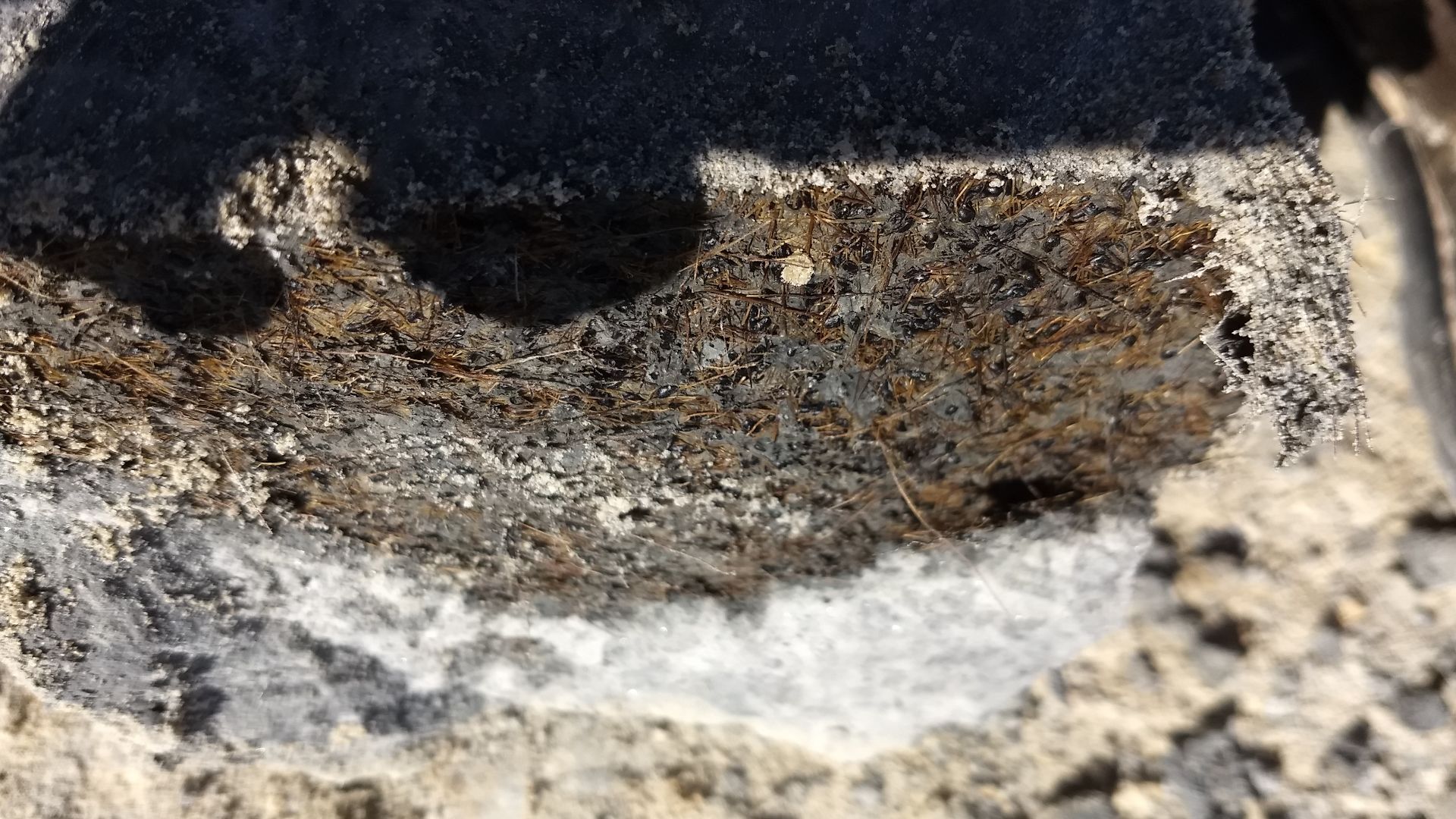
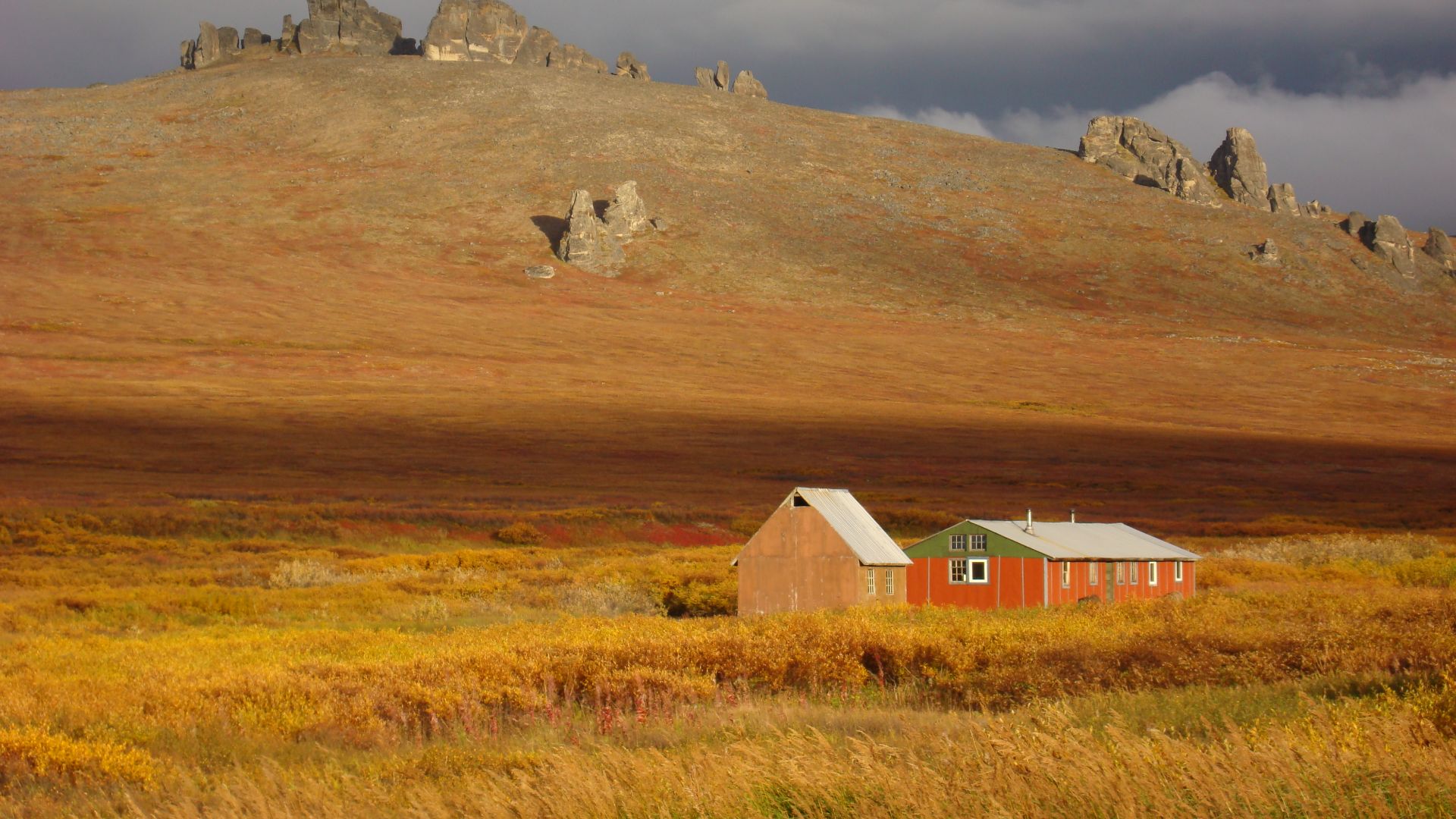
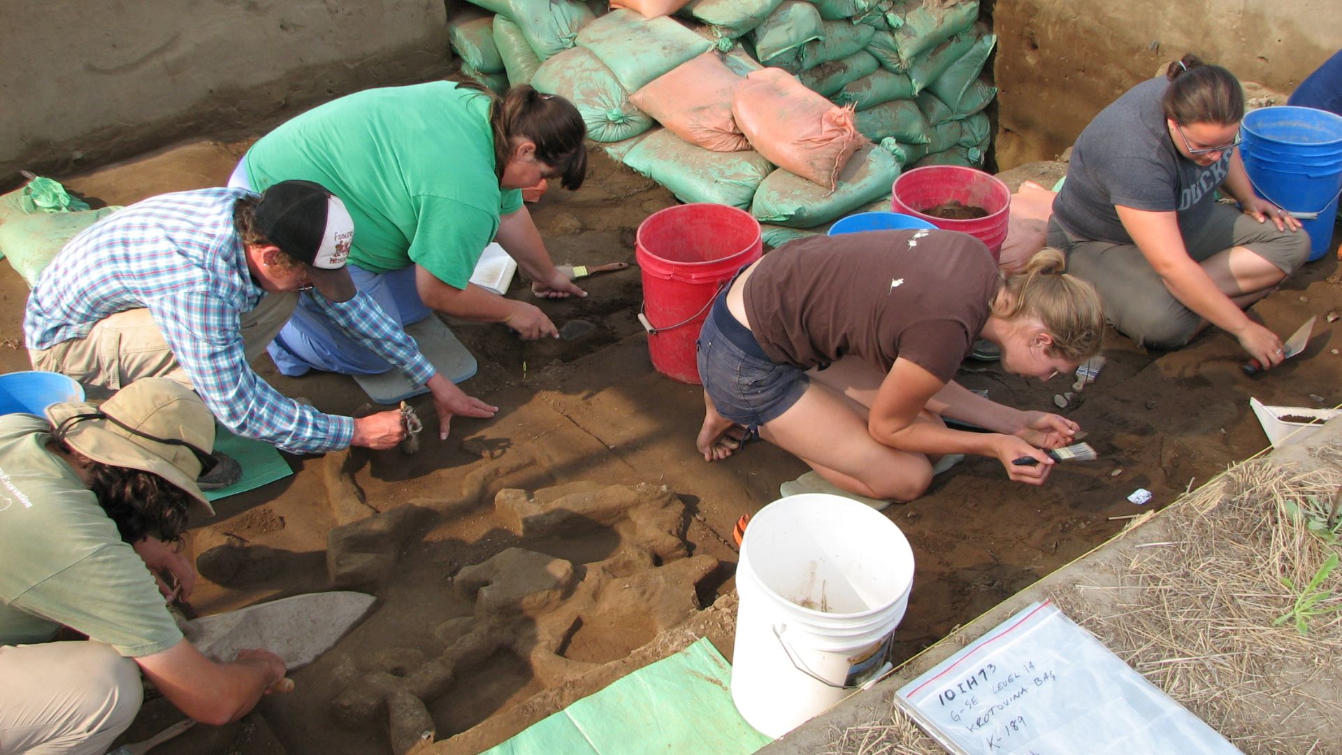
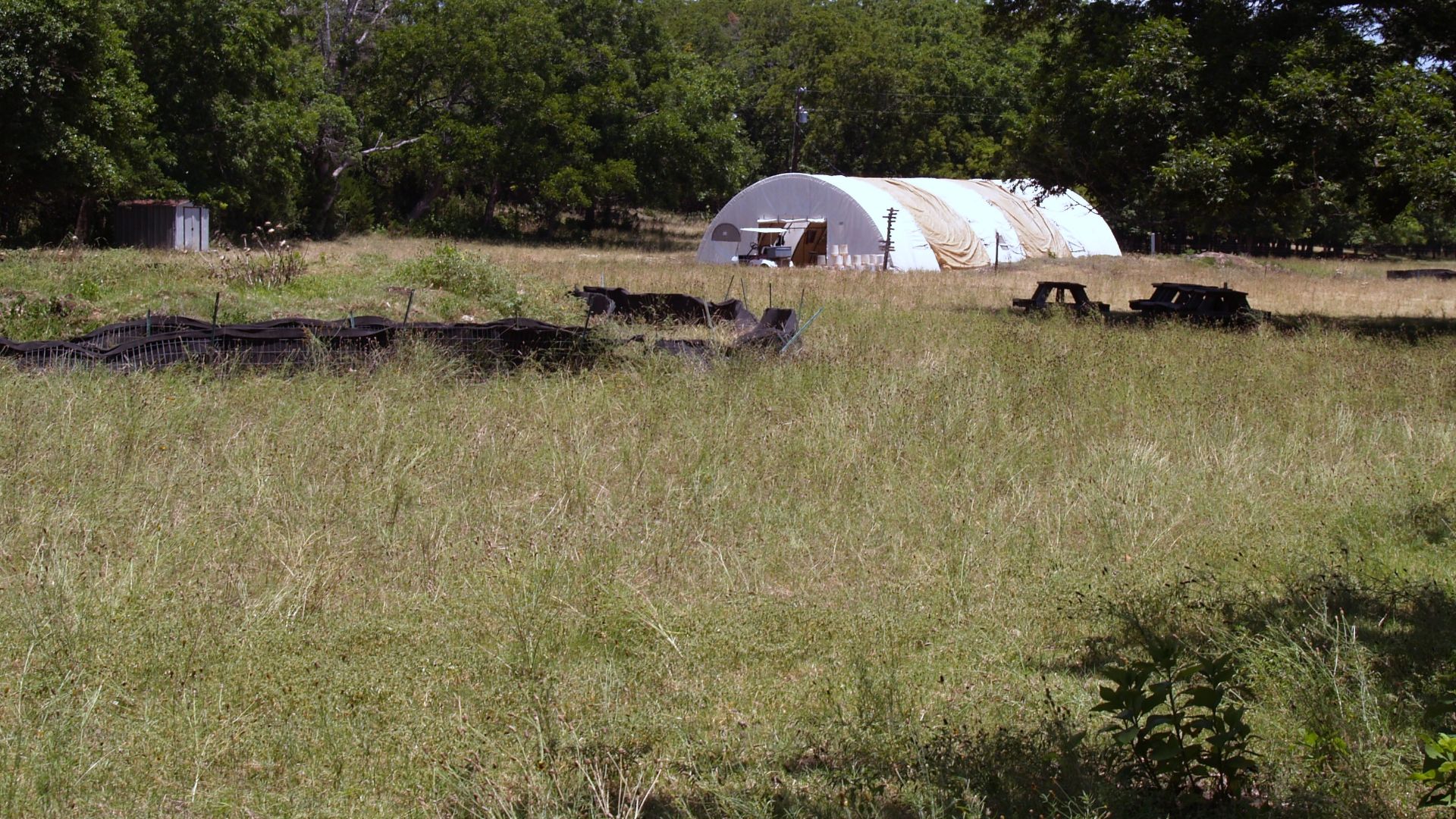
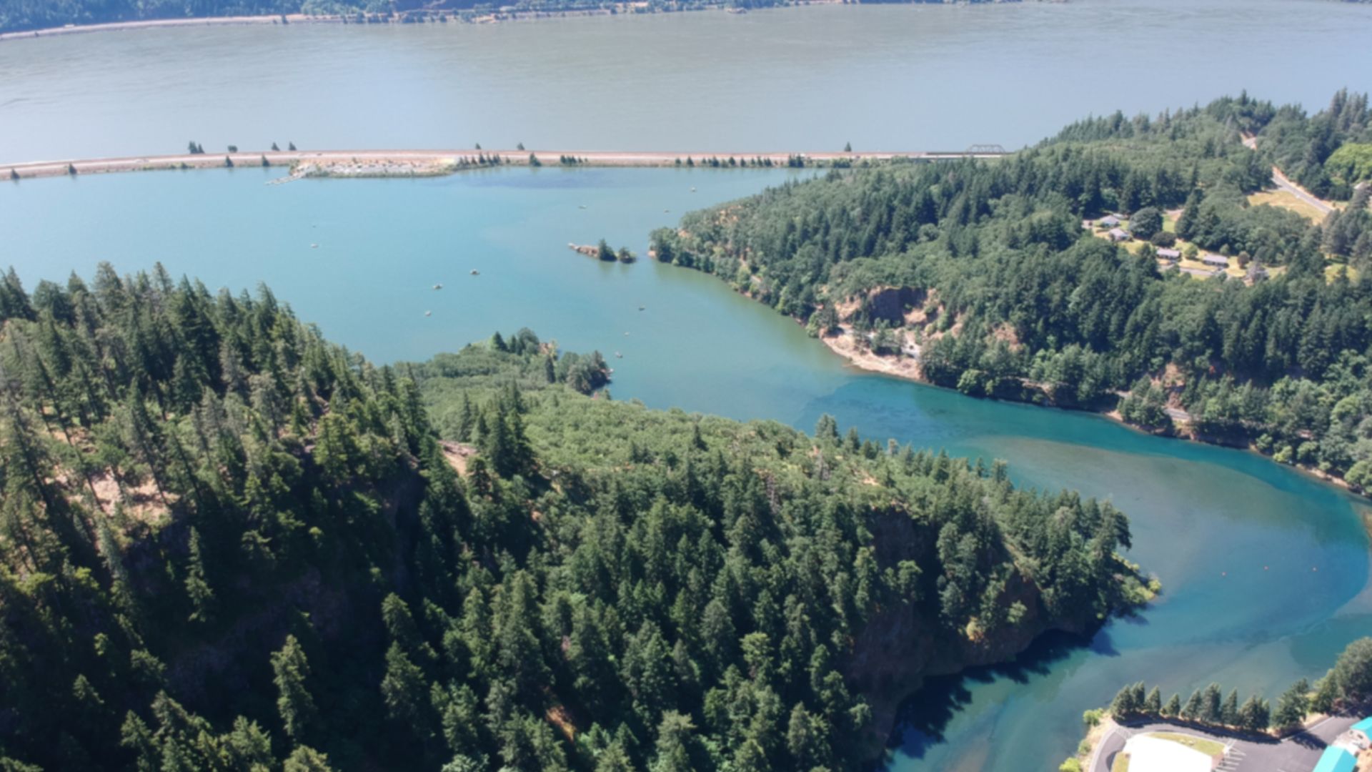
Cooper's Ferry
Along Idaho's lower Salmon River, where Rock Creek joins the water, lies an archaeological site that Indigenous Nez Perce people have known as Nipehe for generations. Oregon State University archaeologist Loren Davis returned to this location in 2009, hoping to confirm earlier findings from his 1997 graduate work.
 Bureau of Land Management, Wikimedia Commons
Pre-Clovis Sites
At least ten archaeological sites across the United States now demonstrate human presence before the Clovis culture emerged. Monte Verde in Chile, excavated in the 1970s and accepted by 1997, revealed 14,500-year-old settlements including wooden structures and medicinal plants.
 Geologia Valdivia, Wikimedia Commons
History's most fascinating stories and darkest secrets, delivered to your inbox daily.
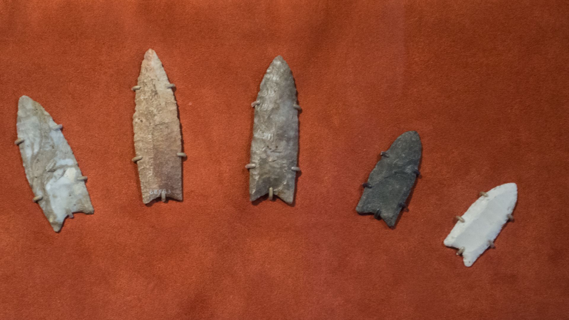
Stone Tools
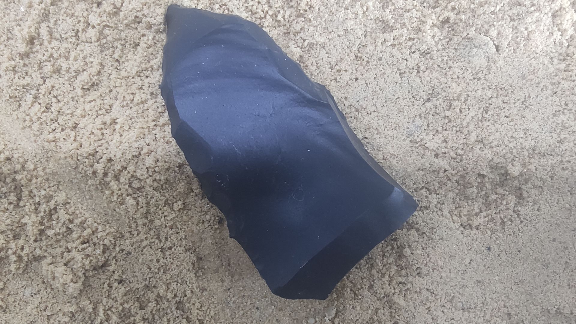
The American Upper Paleolithic sites yielded different artifacts that caught researchers' attention immediately. These tools, found at Cooper's Ferry, Cactus Hill in Virginia, Gault in Texas, and Friedkin sites, featured stems for hafting onto spears rather than the characteristic Clovis flutes.
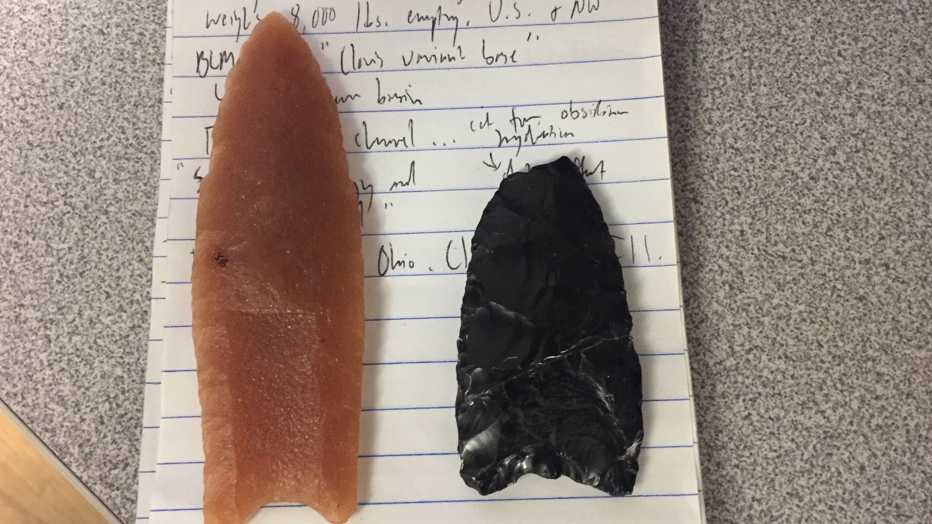 BLM Oregon & Washington, Wikimedia Commons
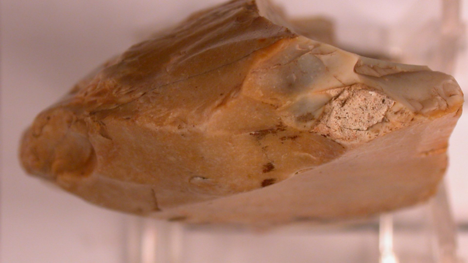
Bifacial Technology
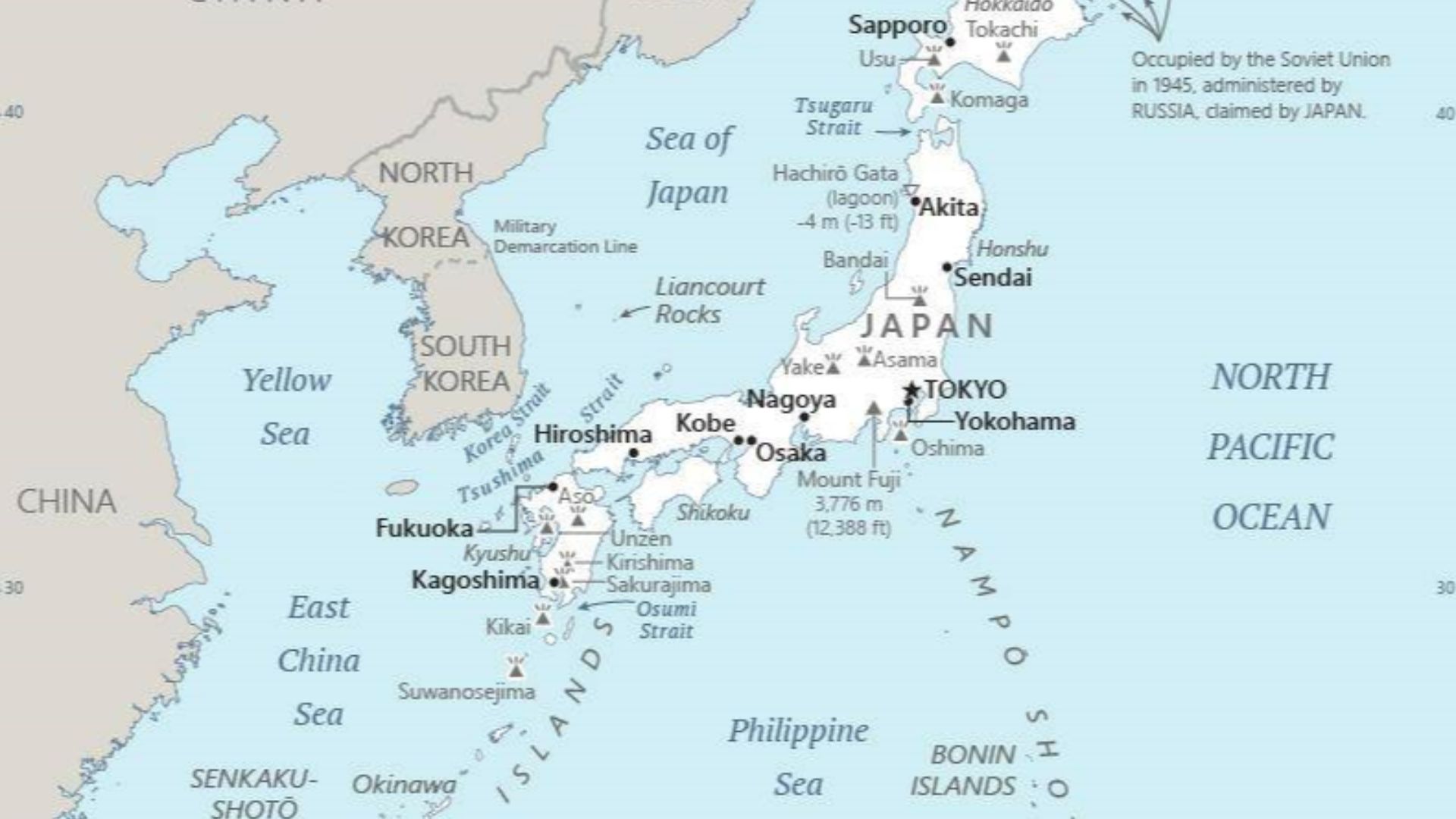
Japanese archaeologists working on Hokkaido, Japan's northernmost island, had been documenting a specific stone tool tradition for decades without realizing its global significance. Late Upper Paleolithic peoples there created bifaces or projectile points meticulously flaked on both sides to produce symmetrical, razor-sharp hunting weapons.
 Bristol City Council, Kurt Adams, 2005-07-12 13:59:59, Wikimedia Commons
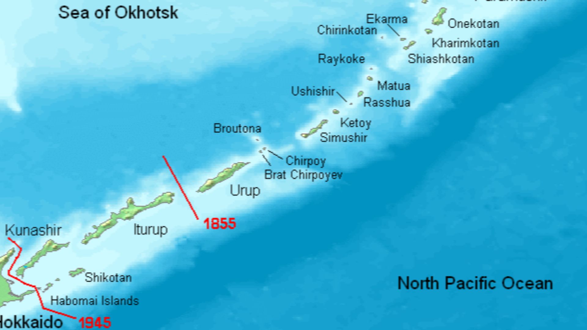
Hokkaido Connection
During the Last Glacial Maximum, Hokkaido was the southernmost tip of a huge landmass called the Paleo-Sakhalin-Hokkaido-Kuril (PSHK) peninsula. This region stretched from Russia's Amur River south through what are now the Kuril Islands, creating a continuous territory where maritime cultures thrived.
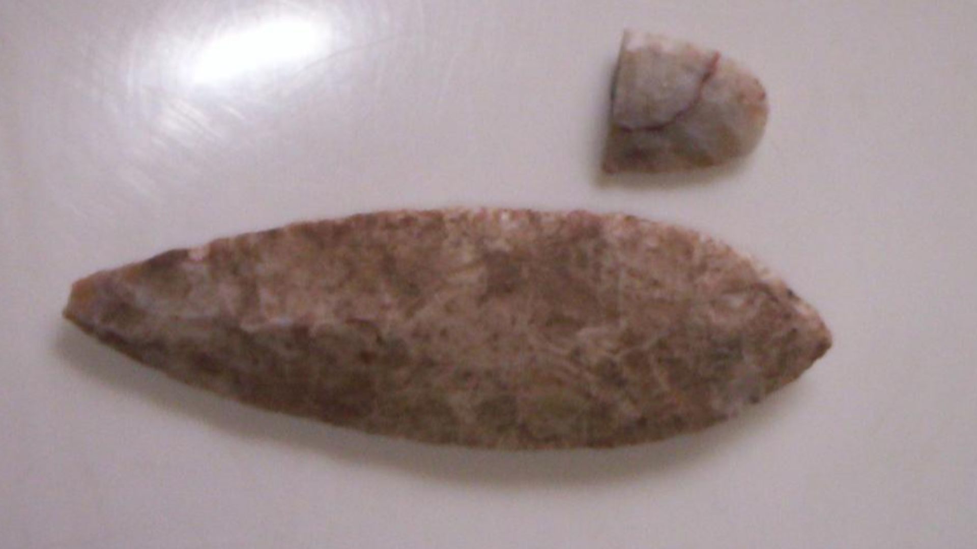
Tool Comparison
Researchers conducted meticulous technological analysis comparing thousands of stone artifacts across continents, examining not just appearance but manufacturing philosophy. The bifaces from both regions showed identical reduction sequences as the specific order of flake removals needed to shape raw stone into finished tools.
 Royal Institution of Cornwall, Anna Tyacke, 2013-04-16 12:33:48, Wikimedia Commons
American Paleolithic
Scientists now recognize a distinct cultural period spanning 20,000 to 13,500 years ago, termed the American Upper Paleolithic. The AUP represents a dual-system approach: core-and-blade production for cutting tools combined with bifacial manufacture for projectile points. This technological foundation became the parent from which later Paleoindian traditions evolved.
Maritime Migration
The paradigm shift in migration theory hinges on one critical observation: these ancient peoples possessed exceptional seafaring abilities. By 30,000 years ago, Upper Paleolithic populations had already demonstrated long-distance ocean navigation, accessing remote islands in the Japanese archipelago that could only be reached by boat.
Pacific Route
Well, the coastal migration theory proposes a radically different journey than the ice corridor narrative. Instead of trudging across frozen wastelands, early Americans sailed south from Beringia along the Pacific coastline, following a route that remained ice-free thousands of years before interior passages opened.
 Unknown authorUnknown author, Wikimedia Commons
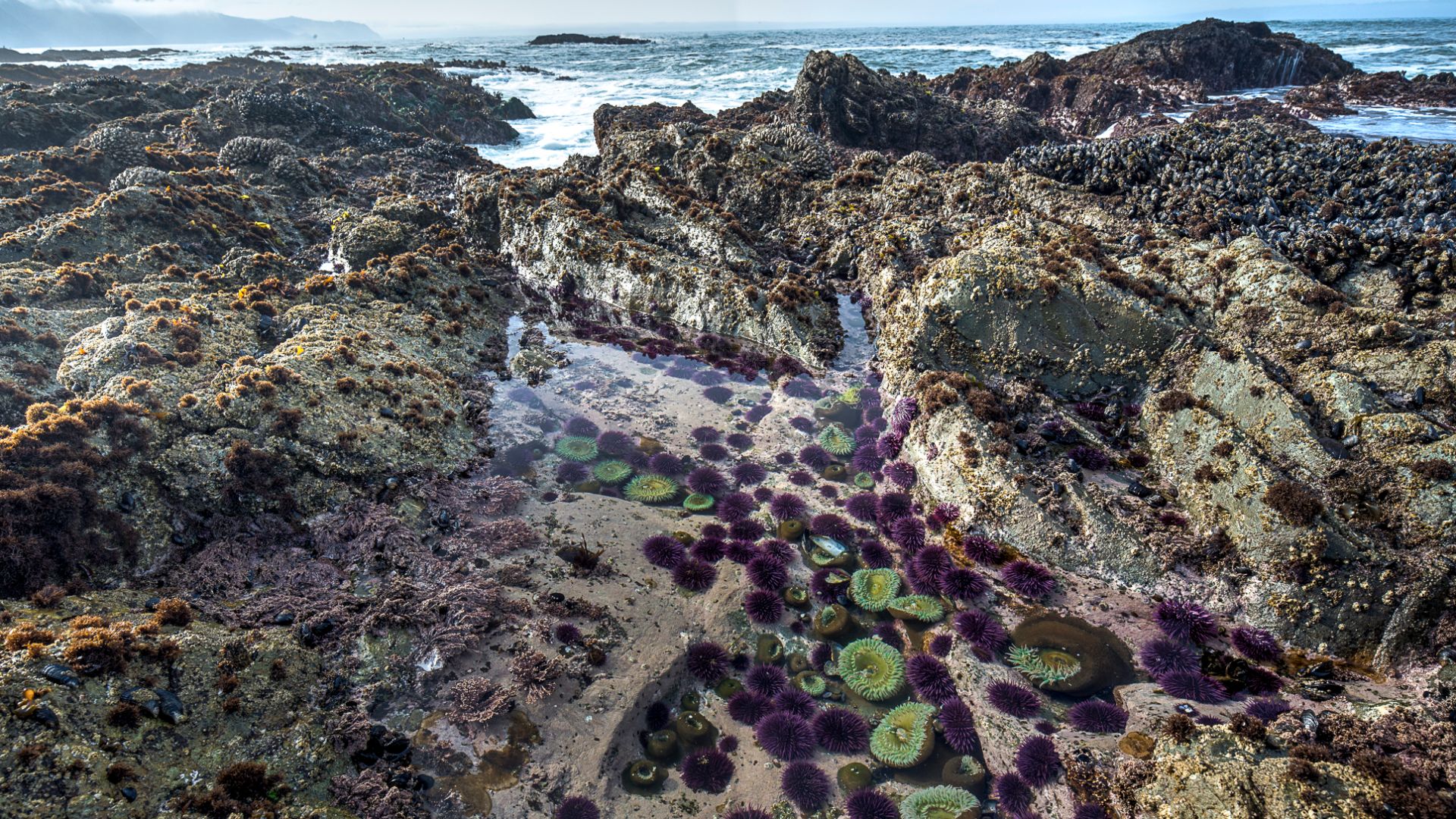
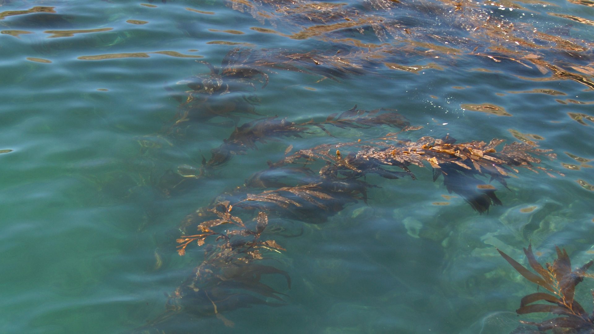
Kelp Highway
Marine ecologists and archaeologists collaborated to identify a remarkable ecological corridor: kelp forests extending nearly continuously along the North Pacific Rim. These underwater forests rank among Earth's most productive ecosystems, supporting extraordinary biodiversity in cool nearshore waters along rocky coastlines.
 mypubliclands, Wikimedia Commons
Island Hopping
Ancient mariners moved from island to island along the fragmented coastline of southern Beringia, establishing temporary settlements at each stop. Archaeological sites on British Columbia's islands provide glimpses into this pattern: Triquet Island yielded obsidian cutting tools, fishhooks, friction-fire starters, and charcoal dating 13,600 to 14,100 years ago.
 Rachid Hamatou, Wikimedia Commons
Coastal Ecosystems
The productivity of Ice Age coastal zones provided everything necessary for human survival and population growth. Kelp forest ecosystems functioned as marine oases, their three-dimensional structure creating habitat for hundreds of species. Shellfish beds offered reliable, easily harvested protein requiring no specialized equipment.
 myself, PatriciaR, Wikimedia Commons
Geographic Distribution
If people had migrated south through interior Canada at high latitudes, the oldest archaeological sites should cluster in Alaska and Yukon Territory. Instead, they're conspicuously absent. The five primary American Upper Paleolithic sites with sufficient artifacts for analysis lie far to the south.
Missing Alaska
Despite extensive surveys in these regions, researchers have found virtually no Paleolithic tools in areas that would have been the ice corridor's terminus. Beringia itself shows evidence of previous abandonment during the Last Glacial Maximum, precisely when migration supposedly occurred.
Southern Concentration
Archaeological evidence concentrates in regions where major river systems provided natural highways inland from the Pacific. Cooper's Ferry in Idaho sits strategically along the Salmon River, which feeds into the Snake River, itself a tributary of the massive Columbia River basin.
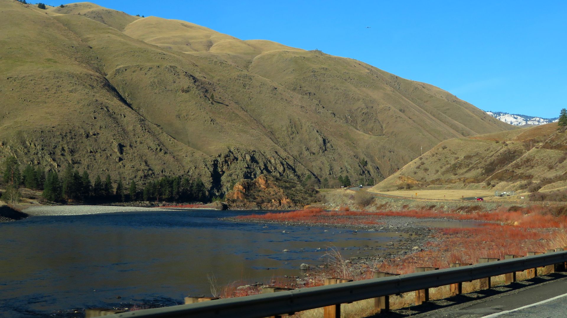
Columbia Gateway
The Columbia River basin functioned as North America's first major "off-ramp" for Pacific coastal migrants seeking inland territories. This watershed system, comprising the Columbia, Snake, and Salmon rivers, carved a natural corridor that penetrates deep into the continent's interior from the coast.
Genetic Evidence
Modern DNA analysis has revolutionized the understanding of American origins, complementing archaeological discoveries with biological proof. Genetic studies demonstrate that Indigenous peoples of the United States and Canada descend from populations with clear East Asian and Northern Eurasian ancestry.

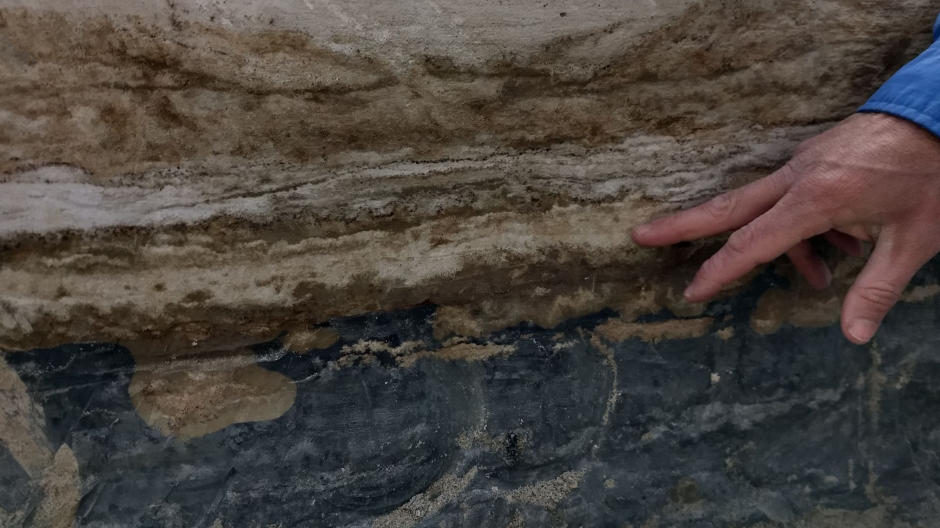
Dating Methods
Confirming ancient human presence requires multiple independent chronometric techniques to eliminate doubt and bias. At White Sands, three separate methods produced concordant results: radiocarbon dating of seeds (21,000–23,000 years), radiocarbon dating of conifer pollen (20,700–22,400 years), and optically stimulated luminescence of quartz grains (minimum 21,500 years).


